
Lower Square in Beaufort
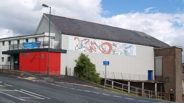
Lower Square in Blaenau Gwent, Beaufort is a residential street. It runs in a southeast-northwest direction starting from Lamb's Square.
- Road Type
- residential street
- Route
- southeast-northwest
Image
Post offices
Bus stops
Convenience stores
Roads nearby
Lamb's Square50 m
Riverside100 m
Allotment Road100 m
Church Crescent150 m
Bevan Crescent200 m
Greenfield Crescent200 m
Ebbw View200 m
Wesleyan Place250 m
Park View250 m
Somerset Terrace250 m
Nelson Street250 m
Badminton GroveBarham Chapel
300 m
Radford Terrace300 m
Reservoir Road300 m
Beaufort RiseBeaufort Post Office
300 m
Mayfield Terrace300 m
Rassau RoadCarmeltown, School Lane, Rassau Post Office
300 m
Raglan Terrace300 m
Cambridge Gardens350 m
Primitive Place350 m
Bryn Glas400 m
Baptist PlaceSoar Chapel
400 m
School RoadRassau Resource Community Centre, Rassau Repair Cafe
400 m
Llangynidr Road400 m
Bryngwyn Road450 m
Cendl Crescent450 m
Pen-y-Dre450 m
Tir-y-Berth450 m
Glanyrafon500 m
School Lane500 m
Heol-Ael-y-Bryn500 m
Gantref Way500 m
Bryn Coch500 m
Taff Close550 m
Emlyn AvenueGlyn-coed, Lillian Grove
550 m
Rhymney Close600 m
College Road600 m
Honeyfield Road600 m
Alder Grove650 m
Avon Court650 m
Abandoned railways nearby
Merthyr Tredegar and Abergavenny Line450 m
Doctor's practice nearby
Glanrhyd Surgery100 m
Places of worship nearby
St David's Church100 m
Bethel Methodist Church200 m
Carmel Independent Chapel250 m
Rivers nearby
Ebbw Fawr River150 m
Streams nearby
Afon Ebbw250 m
Rasa Brook500 m
Veterinary practices nearby
Riverside Vet Care Beaufort50 m
 Public transport map Beaufort Legend
| Railway | |
| Bus | |
| Tram |
 Cycling map Beaufort Legend
| Cycle path | |
| Cycle lane on road | |
| Cycling on bus lane | |
| Bicycle street | |
| Cyclists allowed | |
| Cyclists allowed, good surface | |
| No cycling | |
| Cobblestones |
| Long-distance cycle route | (depending on scale) | |
| Long-distance cycle route |
 Walking map Beaufort Legend
| Path |
| Long-distance hiking trail | (depending on scale) | |
| Long-distance hiking trail | ||
| No pedestrians |