
North Wales Expressway in Aber
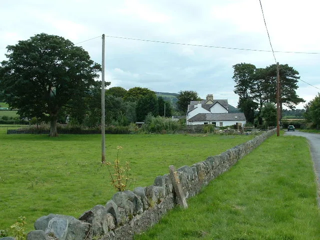
North Wales Expressway in Gwynedd, Aber is a two-lane, asphalted, lit expressway. No sidewalks. There is no cycle path. It crosses a bridge and runs in an east-west direction and connects Pentir, Aber, Llanllechid, Llandygai and Bangor. This road is part of the long-distance roads European route E 22 and A55. The nearest stop is Abergwyngregyn, Iloches/shelter. The bus lines 5 and 5D serve this stop.
- Operator
- Welsh Government
- Road Type
- expressway
- Speed Limit
- 70 mph
- Lanes
- 2
- Route
- east-west
Image
Bus stops
- bus lines 5, 5D
Roads nearby
Tan Y DderwenAbergwyngregyn
250 m
Station RoadHenfaes
250 m
Bryn Meddyg1,2 km
Gwyllt RoadTan-y-clogwyn Cottages
1,7 km
Aber RoadGrand Lodge, Bont Newydd, Coed Y Gelli Bed and Breakfast, Riverside Cafe, ZAX
2,0 km
North Wales ExpresswayTal y Bont
2,1 km
Lôn Tŷ Bach2,2 km
Roman RoadCrymlyn
2,2 km
Baies nearby
Conwy Bay1,9 km
Buildings nearby
Bird hide850 m
Anafon Hydro1,4 km
Fferm Crymlyn1,9 km
Cremlyn Cottage2,0 km
Rallt Ucha Barn2,2 km
Rallt Ucha2,3 km
Pen y Bryn2,6 km
Cafés nearby
Cafe Hen Felin450 m
Detached houses nearby
Station House550 m
Cae-mab-dafydd1,9 km
Farmyards nearby
University Farm250 m
Bangor University Agriculture Research Centre450 m
Pen-y-bryn450 m
Madryn1,3 km
Cydgoed1,8 km
Hotels nearby
Aber Falls Butterfly Rooms200 m
Houses nearby
Pen-y-bryn House450 m
Pen-y-bryn Cottage450 m
Industrial buildings nearby
Aber Falls Distillery500 m
Pump2,1 km
Nature reserves nearby
Morfa Madryn1,4 km
Gwarchodfa Natur Leol Glan y Môr Elias2,3 km
Places of worship nearby
St Bodfan150 m
Capel Bethlehem250 m
Railway lines nearby
North Wales Coast Line550 m
Residential areas nearby
Sunnyside450 m
Rhiwiau Isaf2,4 km
Rivers nearby
Afon Rhaeadr-fawr500 m
Afon Rhaeadr-bach2,6 km
Ruins nearby
Hafod-y-gelyn2,6 km
Streams nearby
Nant y Felin Fach1,8 km
Nant Crymlyn2,2 km
Nant y Felin-fach2,3 km
Afon Anafon2,4 km
Tourist information offices nearby
Aber Falls Distillery Visitor Centre and Cafe550 m
Wetlands nearby
Traeth Lafan2,4 km
Woodlands nearby
Crymlyn Oaks1,4 km
Coed Tan-yr-allt1,5 km
Allt y Bont1,6 km
Coed Wern-porchell1,8 km
Llys-y-gwynt Covert2,4 km
Public transport map Aber Legend
| Railway | |
| Bus | |
| Tram |
Cycling map Aber Legend
| Cycle path | |
| Cycle lane on road | |
| Cycling on bus lane | |
| Bicycle street | |
| Cyclists allowed | |
| Cyclists allowed, good surface | |
| No cycling | |
| Cobblestones |
| Long-distance cycle route | (depending on scale) | |
| Long-distance cycle route |
Walking map Aber Legend
| Path |
| Long-distance hiking trail | (depending on scale) | |
| Long-distance hiking trail | ||
| No pedestrians |