
Heol-y-Fedw in Gwynfi and Croeserw
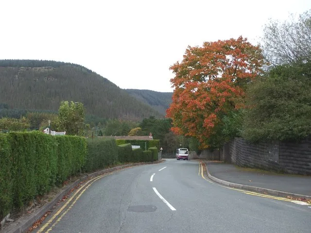
Heol-y-Fedw in Neath Port Talbot, Gwynfi and Croeserw is a two-lane, asphalted residential street. There is no cycle path. It runs in a southeast-northwest direction starting from Heol Croeserw and crosses Heol Tewdwr and ends at Eastern Avenue.
- Road Type
- residential street
- Bicycle
- yes
- Cycle Path
- no
- Speed Limit
- 20 mph
- Lanes
- 2
- Route
- southeast-northwest
Image
Social centres
Bus stops
Roads nearby
Heol Tewdwr100 m
Heol Croeserw100 m
Coronation Avenue150 m
Sunny Crescent200 m
Eastern AvenueWilkins Ltd
300 m
Prescelly Road300 m
Llanofer Road300 m
South Avenue300 m
Maesteg Road300 m
Penhydd Road300 m
Dwyfor Road300 m
Viaduct Road400 m
Ty Nant LaneViaduct Road
450 m
Penderyn Road450 m
Hillcroft CrescentCroeserw
450 m
Bryn Siriol450 m
Heol Syr William500 m
Gwynedd Avenue500 m
Church Street500 m
Pen-y-Wern500 m
Fairfield Road550 m
Queens Road550 m
Pen y Mynydd550 m
Nant-y-Fedw Road600 m
Bryn Coed600 m
Menai Avenue600 m
Lloyd's TerraceBethania
650 m
Pen-y-Bryn650 m
Brynheulog Road750 m
Cymer RoadCaerau
800 m
School Road850 m
Station RoadCymer, Station Road
850 m
Afan Valley Cycle TrackGelli Junction, Gelli Houses, Alder Terrace
950 m
Avon Street950 m
Craig y Fan Terrace950 m
Avondale Terrace950 m
Abandoned railways nearby
Rhondda and Swansea Bay Line1000 m
Brownfields nearby
Cymer Afan Comprehensive School800 m
Buildings nearby
Croeserw Hotel250 m
Cymmer Telephone Exchange1000 m
Convenience stores nearby
Premier Croeserw Stores600 m
Industrial areas nearby
Croeserw Industrial Estate150 m
Recreation grounds nearby
Red Field Rugby & Football Gound550 m
Tudor Park700 m
Rivers nearby
River Afan400 m
Sports centres nearby
Afan Valley Swimming Pool850 m
Streams nearby
Nant y Wern550 m
Nant Graig-Iwyd700 m
Other nearby
Caerau Primary Substation850 m
Public transport map Gwynfi and Croeserw Legend
| Railway | |
| Bus | |
| Tram |
Cycling map Gwynfi and Croeserw Legend
| Cycle path | |
| Cycle lane on road | |
| Cycling on bus lane | |
| Bicycle street | |
| Cyclists allowed | |
| Cyclists allowed, good surface | |
| No cycling | |
| Cobblestones |
| Long-distance cycle route | (depending on scale) | |
| Long-distance cycle route |
Walking map Gwynfi and Croeserw Legend
| Path |
| Long-distance hiking trail | (depending on scale) | |
| Long-distance hiking trail | ||
| No pedestrians |