
Sir Gaerfyrddin / Carmarthenshire
Sir Gaerfyrddin / Carmarthenshire is located in Cymru / Wales. The area is situated on the Carmarthen Bay. Around 187,900 people live here. Between 2001 and 2018, the population grew from 172,831 to 187,568. Its area extends over around 2,370.3 square kilometres. The region is divided into 72 Subregions. Sir Gaerfyrddin / Carmarthenshire is principal area in south-west Wales. For more information, see www.carmarthenshire.gov.uk.
Sir Gaerfyrddin / Carmarthenshire – Facts
| Inhabitants | 187568 |
|---|---|
| Area | 2370.3 km² |
| Subregions | 72 |
| Located in | Wales |
| Country | United Kingdom |
| Body of water | Carmarthen Bay |
| Described by source | Brockhaus and Efron Encyclopedic Dictionary, The Nuttall Encyclopædia, Encyclopædia Britannica 11th edition |
| Website | http://www.carmarthenshire.gov.uk/ |
Data source: Wikidata (CC0)
Photos from Sir Gaerfyrddin / Carmarthenshire
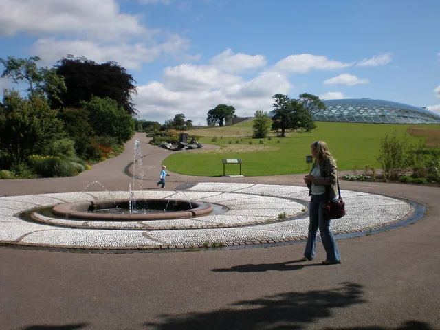
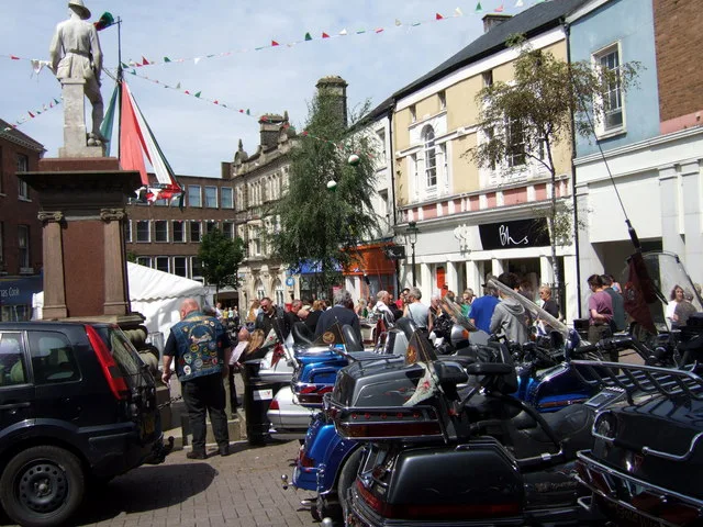
Districts in Sir Gaerfyrddin / Carmarthenshire
 Public transport map Sir Gaerfyrddin / Carmarthenshire Legend
| Railway | |
| Bus | |
| Tram |
 Cycling map Sir Gaerfyrddin / Carmarthenshire Legend
| Cycle path | |
| Cycle lane on road | |
| Cycling on bus lane | |
| Bicycle street | |
| Cyclists allowed | |
| Cyclists allowed, good surface | |
| No cycling | |
| Cobblestones |
| Long-distance cycle route | (depending on scale) | |
| Long-distance cycle route |
 Walking map Sir Gaerfyrddin / Carmarthenshire Legend
| Path |
| Long-distance hiking trail | (depending on scale) | |
| Long-distance hiking trail | ||
| No pedestrians |