
Regent Street in Rhosddu
Regent Street in Wrexham, Rhosddu is a main road. It runs in a southeast-northwest direction starting from Mold Road and crosses Crispin Lane, Jacques Way, Station Approach, Central Road, Union Road, Bradley Road, Caxton Place, Grosvenor Road, King Street, St Mark's Road and Duke Street. It connects Rhosddu and Offa. In the vicinity, you can find among other things a car repair shop and a fast food restaurant. The nearest stop is Wrexham General. The bus lines 2E, 6, 15, 15A, 23, 40, 41, 42, 65, 141, 142, T3, T12 and X50 serve this stop.
- Road Type
- primary road link
- Speed Limit
- 20 mph
- Route
- southeast-northwest
Image
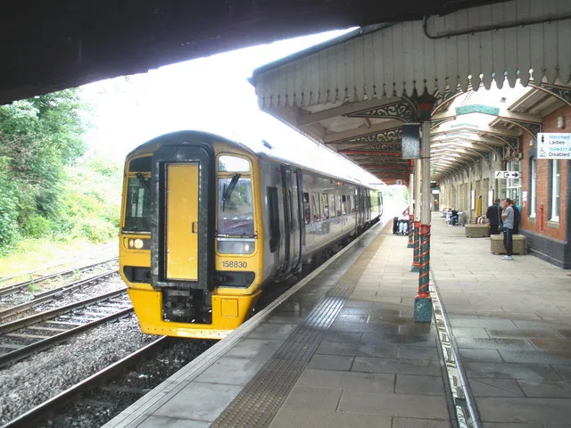
Platforms
- bus lines 2E, 6, 15, 15A, 23, 40, 41, 42, 65, 141, 142, T3, T12, X50
Fast food restaurants
Roads nearby
Grosvenor RoadBupa Dental Care
50 m
Caxton PlacePepe's
100 m
Union Road150 m
Central RoadPausa
150 m
St Mark's RoadWrexham Archives, Wrexham Museum
150 m
Bradley RoadWrexham Central
250 m
Watery RoadIsland Green Shopping Centre, Croes Newydd, Croes Newydd North Junction, Watery Road Level Crossing
300 m
Llys NantgarwLlys Nantgarw
300 m
Pierce's Square400 m
Bellevue Road400 m
Jubilee Road400 m
Abandoned railways nearby
Wrexham Central and Bidston Line200 m
Animal shelters nearby
Cats Protection - Wrexham Adoption Centre150 m
Bakeries nearby
Olawa Wrexham Bakeshop150 m
Buildings nearby
Regent House50 m
Grosvenor Lodge100 m
Principal's House, Wrexham University100 m
Hadlow Edwards Wealth Management Ltd150 m
Former St Mark's Car Park150 m
Cafés nearby
The Coffee House250 m
Costa250 m
Car repair shops nearby
Kwik Fit250 m
Charity shops nearby
The Salvation Army200 m
Hope House300 m
Churches nearby
St Mary's Cathedral Hall100 m
Clothing shops nearby
Frugal250 m
Constructions nearby
Museum of Two Halves100 m
Fast food restaurants nearby
Caprinos Pizza150 m
McDonald's150 m
Subway200 m
Domino's350 m
Furniture shops nearby
ScS200 m
Opticians nearby
Jane Smellie Opticians100 m
Places of worship nearby
Wrexham Methodist Church200 m
Playgrounds nearby
Banana Ben's Play Centre and Cafe250 m
Post depots nearby
Royal Mail150 m
Railway stations nearby
Wrexham Central Railway Station Building200 m
Residential areas nearby
Cobden Mill250 m
Y Werddon250 m
Retail areas nearby
Central Retail Park150 m
Retail buildings nearby
Island Green Retail Park250 m
Shoe shops nearby
Shoe Zone200 m
Deichmann200 m
Social facilities nearby
Maes y Dderwen100 m
Taxi ranks nearby
Yellow Cars150 m
Toy shops nearby
Smyths200 m
Variety stores nearby
Bargain Buys200 m
B&M Bargains200 m
Poundland250 m
Trade Outlet250 m
 Public transport map Rhosddu Legend
| Railway | |
| Bus | |
| Tram |
 Cycling map Rhosddu Legend
| Cycle path | |
| Cycle lane on road | |
| Cycling on bus lane | |
| Bicycle street | |
| Cyclists allowed | |
| Cyclists allowed, good surface | |
| No cycling | |
| Cobblestones |
| Long-distance cycle route | (depending on scale) | |
| Long-distance cycle route |
 Walking map Rhosddu Legend
| Path |
| Long-distance hiking trail | (depending on scale) | |
| Long-distance hiking trail | ||
| No pedestrians |