
Silverdale Gardens in London Borough of Hillingdon
Silverdale Gardens in London Borough of Hillingdon is a residential street. It runs in a southeast-northwest direction and crosses Copperdale Road and ends at Mount Road, while the other end is a cul-de-sac. Silverdale Gardens also exists in West Midlands.
- Road Type
- residential street
- Route
- southeast-northwest
Image
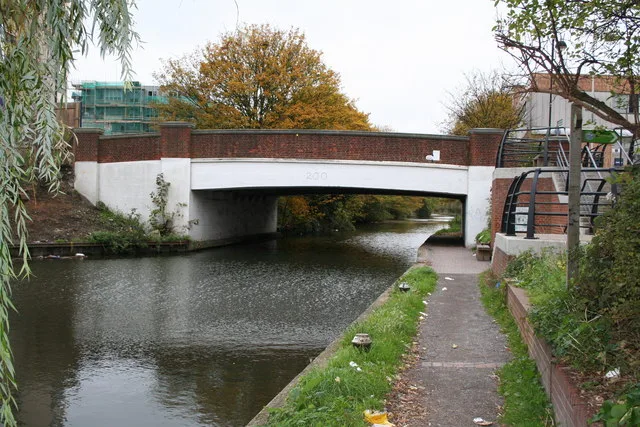
Newsagent's
Supermarkets
Pubs
Variety stores
Mobile phone shops
Fast food restaurants
Bus stops
Off-licences
Places of worship
Dry cleaner's
Bookmakers
Bank
Hairdressers
Shoe shops
Butcher's
Opticians
Bakeries
Roads nearby
Copperdale Road50 m
Chesterfield Way150 m
Silverdale Road250 m
Pasadena Close250 m
East Walk300 m
Hunters Grove300 m
Minet Gardens300 m
Little Road350 m
Mount Road350 m
Crossway350 m
Glenister Gardens350 m
Chalfont Road350 m
Minet Drive400 m
Bilton Way400 m
Cherry Grove400 m
The ParkwayOssie Garvin Roundabout
400 m
Halsend400 m
Fairdale Gardens450 m
Coldharbour LaneFairdale Gardens, Global Wines, Hayes Food Centre, Hesa Road, Avondale Drive, East Way, The Botwell Inn, The Salvation Army - Hayes, Precinct Road, NatWest, Ali Halal Meat, Pound & More, Nationwide, Hayes, Biryani Hub, Crockford Mills, Crystal Dry Cleaners, Jenny's Burgers, Subway, Lloyds Bank, William Hill, Savys Beauty Salon, Shoe Zone
450 m
Austin Road450 m
Pump Lane500 m
Western ViewThe Old Crown
500 m
Crown CloseNur Food Centre, Roop Food Corner, ACC-Line Communications Centre
500 m
Cranton AvenueHayes & Harlington
550 m
North Hyde Gardens550 m
Bulls Bridge RoadBulls Bridge
700 m
Apartment buildings nearby
Compass Building550 m
Cardinal Building550 m
Navigation Building550 m
Truscon House600 m
Catimor House650 m
Buildings nearby
Signal Building550 m
Commercial areas nearby
Segro Park Hayes600 m
Constructions nearby
Hayes Village650 m
Doctor's practice nearby
Hesa Primary Care Centre550 m
Industrial areas nearby
Tarmac Hayes350 m
FM Conway600 m
Industrial buildings nearby
Argent Trade Park250 m
Platforms nearby
5550 m
3550 m
2550 m
4550 m
1650 m
Railway lines nearby
Great Western Main Line450 m
Elizabeth Line500 m
Residential buildings nearby
NewHayes250 m
Rivers nearby
River Crane650 m
Streams nearby
Yeading Brook500 m
Warehouses nearby
Pasadena Distribution Centre350 m
 Public transport map London Borough of Hillingdon Legend
| Railway | |
| Bus | |
| Tram |
 Cycling map London Borough of Hillingdon Legend
| Cycle path | |
| Cycle lane on road | |
| Cycling on bus lane | |
| Bicycle street | |
| Cyclists allowed | |
| Cyclists allowed, good surface | |
| No cycling | |
| Cobblestones |
| Long-distance cycle route | (depending on scale) | |
| Long-distance cycle route |
 Walking map London Borough of Hillingdon Legend
| Path |
| Long-distance hiking trail | (depending on scale) | |
| Long-distance hiking trail | ||
| No pedestrians |