
Villiers Street in City of Westminster
Villiers Street in City of Westminster is a lit pedestrian zone. It runs in a southeast-northwest direction and crosses John Adam Street and ends at Embankment Place, while the other end is a cul-de-sac. In the vicinity, you can find among other things 3 cafés, 2 fast food restaurants, a gift shop and a doctor's office. The nearest stop is Charing Cross. The subway line Northern stops here. Villiers Street also exists in Greater Manchester, West Midlands and Lancashire. Ⓦ.
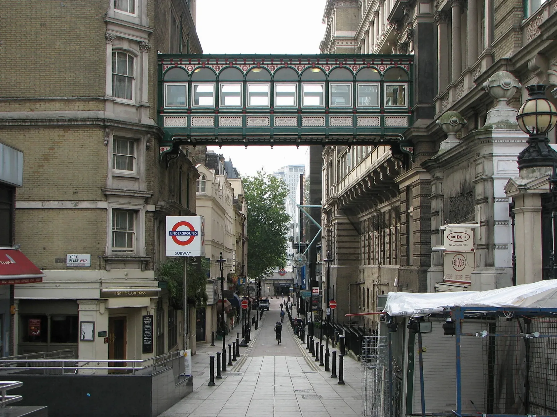
- Road Type
- pedestrian zone
- Route
- southeast-northwest
Cafés
Confectioneries
Fast food restaurants
Patisseries
Subway stops
- subway lines Northern
Gift shops
Doctor's office
Convenience stores
Pharmacy
Roads nearby
Watergate WalkMy Hiro: Join the curry club
50 m
The ArchesCharing Cross Theatre, Champagne Charlies, Heaven, S&S Tailors, The Players, Blue Onion, The Arches Newsagents, The Tanning Shop, London Charing Cross, The Arches Shopping, Moc Kitchen, Jumbo, Flash Printing
100 m
John Adam StreetStrand Gallery, Smith & Wollensky
150 m
Buckingham Street150 m
Lower Robert Street150 m
Robert Street150 m
York Buildings150 m
George CourtThe Retro Bar
200 m
Adelphi Terrace200 m
Adam Street200 m
Durham House Street250 m
Heathcock Court300 m
Apartment buildings nearby
Durham House150 m
Banks nearby
NatWest150 m
Lloyds Bank200 m
Halifax200 m
Bars nearby
Gordon's Wine Bar50 m
Buildings nearby
York Water Gate50 m
Charing Cross Substation100 m
Charing Cross Chambers150 m
The Little Adelphi200 m
The Royal Society of Arts250 m
Bedford House250 m
Cafés nearby
Gordon's Deli50 m
Caffè Nero250 m
Convenience stores nearby
Allmart50 m
Fast food restaurants nearby
Thunderbird100 m
Pret A Manger100 m
Burger King250 m
SushiDog300 m
Gift shops nearby
London Memorabilia50 m
Hotels nearby
Wilde Aparthotels Covent Garden300 m
Ice cream parlours nearby
Amorino50 m
Mobile phone shops nearby
O2250 m
Newsagent's nearby
Break Point300 m
Office buildings nearby
The Adelphi150 m
Pharmacies nearby
Superdrug200 m
Pubs nearby
Princess of Wales100 m
The Theodore Bullfrog150 m
The Porterhouse300 m
Nell Gwynne Tavern300 m
Railway stations nearby
Charing Cross Railway Station50 m
Restaurants nearby
Ippudo100 m
Pizza Hut200 m
Bella Italia250 m
Zizzi300 m
Theatres nearby
Victoria Embankment Open Air Theatre100 m
Adelphi Theatre300 m
Other nearby
Stamp Centre300 m
| Named after | George Villiers, 1st Duke of Buckingham |
|---|---|
| Located in | City of Westminster |
| Country | United Kingdom |
 Public transport map City of Westminster Legend
| Railway | |
| Bus | |
| Tram |
 Cycling map City of Westminster Legend
| Cycle path | |
| Cycle lane on road | |
| Cycling on bus lane | |
| Bicycle street | |
| Cyclists allowed | |
| Cyclists allowed, good surface | |
| No cycling | |
| Cobblestones |
| Long-distance cycle route | (depending on scale) | |
| Long-distance cycle route |
 Walking map City of Westminster Legend
| Path |
| Long-distance hiking trail | (depending on scale) | |
| Long-distance hiking trail | ||
| No pedestrians |