
Station Way in Epsom and Ewell
Station Way in Epsom and Ewell is a footpath. In the vicinity, there is among other things dentist. The nearest stop is Epsom Clock Tower. Station Way also exists in Suffolk, Somerset, Bracknell Forest and Essex.
- Road Type
- footpath
Image
Roads nearby
Subway to PlatformsEpsom
100 m
Waterloo RoadWaterloo Road, The Larches Hub, William Hill, Clocktower Cars, Epsom Station, Epsom Grill, The Good Life
150 m
Ashley RoadHeathcote Road, Treadwell Road, Ashley Road, St Martins School, Ashley Road Cemetery, Epsom Methodist Church, Epsom Race Course
150 m
Oaks SquareEbbisham Center Parking, Nando's
150 m
Epsom SquareBe at One, Epsom Library, Derby Medical Centre, Il Ponte, Snippety Do Dahs, #88, Simply Greek, Everest Spice, Epsom Picturehouse
250 m
Ashley AvenueEligo, Costa
250 m
The ParadeLabyrinth, Citizens Advice, Premier Inn, Comrades Club, Epsom Police Station, Council Chambers, Fitness Space, Busy Bees at Epsom, The Rising Sun
300 m
Chase End300 m
Adelphi Road350 m
Woodstock Court350 m
The Cressinghams350 m
Chase RoadChase Road
350 m
Upper High StreetCafe Carraro, Little Dessert Shop Epsom, Upper High Street / The Odeon, Pikes Hill, Fudges CycleStore, seanhanna, Techno Zone, Sevenoaks Sound and Vision, Maxy Express, Cakes And Bakes, Menspire, Anne Nails & Spa Epsom, Marlons, American Pizza House, Anatolia Kebab, Tileys, The Glamour Garage, Fireaway, Bens Butchery, Rocky Express, Jade Nails, Quality Dry Cleaners, Cake Box, Mei House, Blackheart Tattoo, Khan's, Skyrah Beauty, Epsom Food Express, Co-op Food, Quadrant, Domino's, Dreams, Lidl
350 m
Hook RoadHorton Lane, Miles Road, Pound Lane, Epsom & Ewell Islamic Society, Longmead Road, Tomlin Close, Briane Road, St Ebbas Hospital, Nursery and Preschool Epsom | Fennies Nursery
400 m
Hereford Close450 m
Apartment buildings nearby
Hudson House50 m
Bakeries nearby
GAIL's150 m
Banks nearby
Barclays100 m
Nationwide100 m
NatWest150 m
Metro Bank200 m
Beauty salons nearby
Pari's Beauty100 m
Bookmakers nearby
Cashino100 m
Coral150 m
Buildings nearby
Leaders100 m
irepair100 m
Epsom DC Traction Substation200 m
Adelphi Court350 m
Swail House450 m
Cafés nearby
Starbucks150 m
Community centres nearby
Ebbisham Centre300 m
Convenience stores nearby
Co-op Food150 m
Cosmetics shops nearby
Rituals150 m
Dry cleaner's nearby
LB Dry Cleaners400 m
Fast food restaurants nearby
Pret A Manger150 m
Hairdresser's nearby
Heads Up400 m
Ice cream parlours nearby
Creams250 m
Nightclubs nearby
The Boogie Lounge100 m
Opticians nearby
Leightons Opticians & Hearing Care50 m
Parks nearby
Rosebery Park350 m
Pubs nearby
The Rifleman350 m
The Faraday350 m
Railway lines nearby
Raynes Park to Epsom Line400 m
Railway stations nearby
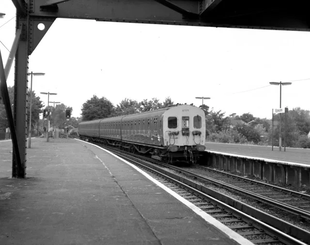
Epsom Railway Station100 m
Restaurants nearby
Rio Grill50 m
Shopping malls nearby
Ashley Centre150 m
Spread Eagle Walk250 m
Town halls nearby
Epsom Town Hall350 m
Variety stores nearby
B&M100 m
 Public transport map Epsom and Ewell Legend
 | Railway | |
| Bus | |
| Tram |
 Cycling map Epsom and Ewell Legend
 | Cycle path | |
| Cycle lane on road | |
| Cycling on bus lane | |
| Bicycle street | |
| Cyclists allowed | |
| Cyclists allowed, good surface | |
| No cycling | |
| Cobblestones |
| Long-distance cycle route | (depending on scale) | |
| Long-distance cycle route |
 Walking map Epsom and Ewell Legend
 | Path |
| Long-distance hiking trail | (depending on scale) | |
| Long-distance hiking trail | ||
| No pedestrians |