
North 5th Avenue in Lanett, Alabama
North 5th Avenue in Lanett is a residential street. It runs in a northeast-southwest direction starting from 5th Street North and crosses North 4th Street and ends at 3rd Street North. North 5th Avenue also exists in Geneva County and Calhoun County.
- Road Type
- residential street
- Route
- northeast-southwest
Image
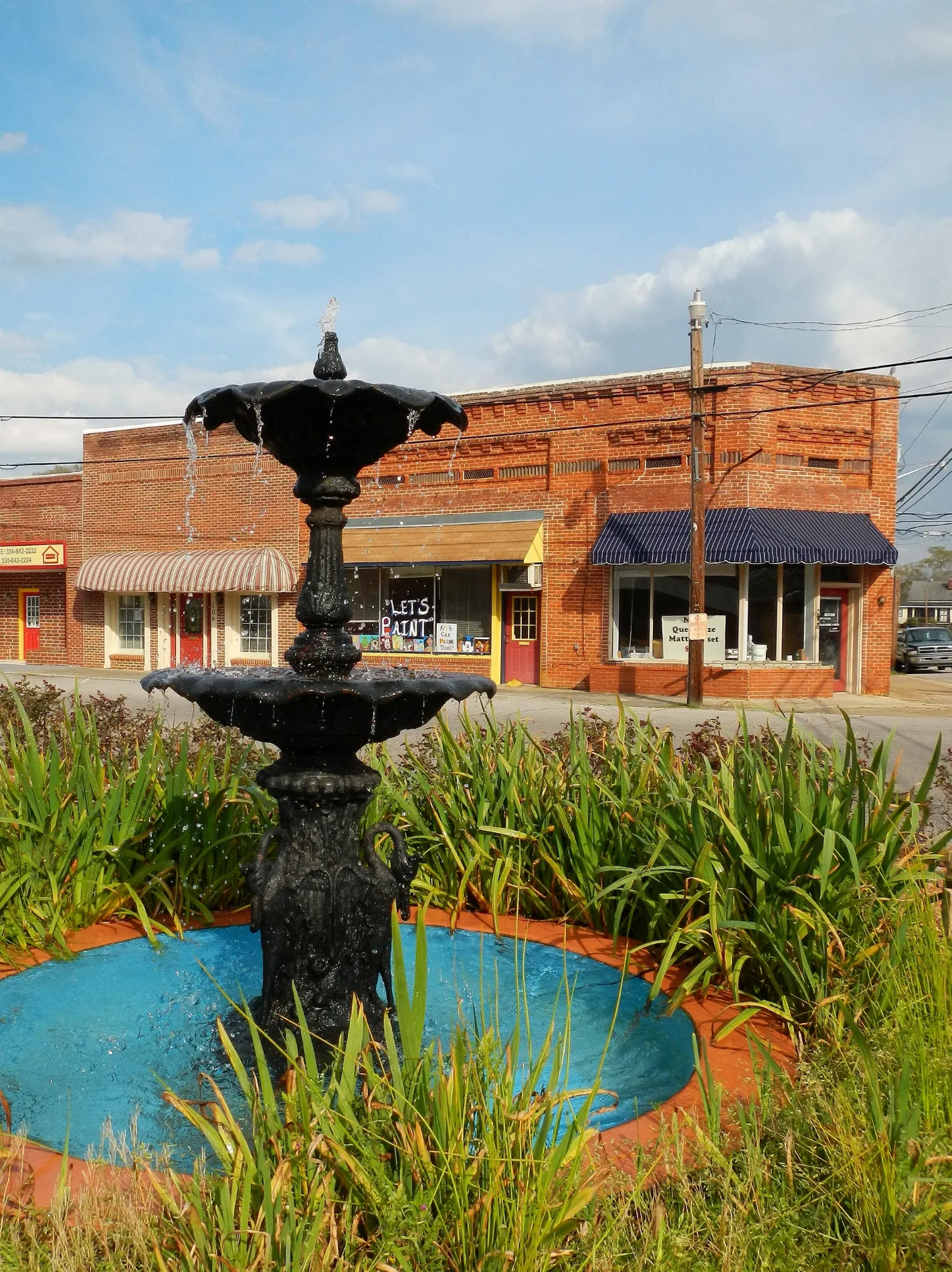
Supermarkets
Places of worship
Streets nearby
North 4th StreetThirteenth Avenue Church of Christ
350 ft
North 6th Avenue500 ft
North 3rd Street0.1 mi
North 2nd Avenue0.2 mi
North 1st Avenue0.2 mi
North 8th Drive0.2 mi
4th Street North0.2 mi
North 8th Avenue0.2 mi
North 3rd Avenue0.2 mi
North Lanier AvenueLanett, Lanett Post Office
0.2 mi
North 6th Street0.2 mi
North Gilmer Avenue0.2 mi
North 8th Court0.2 mi
2nd Street SouthFirst Christian Church
0.3 mi
North 7th Street0.3 mi
3rd Street North0.3 mi
South Gilmer Avenue0.3 mi
North Cherry DriveSaint John Baptist Church
0.3 mi
2nd Street North0.3 mi
5th Street North0.3 mi
8th Court North0.3 mi
9th Avenue North0.3 mi
3rd Street SouthLanett Central Elementary School
0.3 mi
South 6th AvenueFirst Assembly of God Church
0.3 mi
North 4th Avenue0.3 mi
10th Street North0.4 mi
North 12th Street0.4 mi
South 7th AvenueCongregational Christian Church, First Baptist Church
0.4 mi
3rd Avenue0.4 mi
South 3rd Avenue0.4 mi
4th Street South0.4 mi
South 4th Avenue0.4 mi
12th Street North0.4 mi
West 6th Street0.5 mi
South 5th Avenue0.5 mi
West 7th Street0.5 mi
South 2nd Avenue0.5 mi
2nd AvenueWest Point City Hall
0.5 mi
Country Club Road0.5 mi
Francolyn Terrace0.5 mi
Shops nearby
West Point Shoe Outlet0.5 mi
Abandoned railways nearby
Woodyard Spur0.4 mi
Banks nearby
SouthState Bank0.5 mi
Parks nearby
West Point Park0.5 mi
West Point Water Park0.5 mi
Places of worship nearby
Holy Family Catholic Church0.2 mi
Railways nearby
Woodyard Storage Track0.3 mi
CSX A&WP Subdivision0.4 mi
Rivers nearby
Chattahoochee River0.4 mi
 Public transit map Lanett Legend
| Railway | |
| Bus | |
| Streetcar |
 Bicycle map Lanett Legend
| Bike path | |
| Bike lane on roadway | |
| Cycling allowed on bus lane | |
| Bicycle street | |
| Open to cyclists | |
| Open to cyclists, good path | |
| Cycling prohibited | |
| Cobblestone |
| Long-distance bike route | (depending on scale) | |
| Long-distance bike route |
 Pedestrian map Lanett Legend
| Path |
| Long-distance hiking trail | (depending on scale) | |
| Long-distance hiking trail | ||
| Pedestrians prohibited |