
58th Street in Valley, Alabama
58th Street in Valley is a residential street. It runs in a northeast-southwest direction starting from 58th Street West and crosses 21st Avenue, 22nd Avenue and 24th Avenue and ends at 24th Avenue Northwest. 58th Street also exists in Jefferson County and Tuscaloosa County.
- Road Type
- residential street
- Route
- northeast-southwest
Image
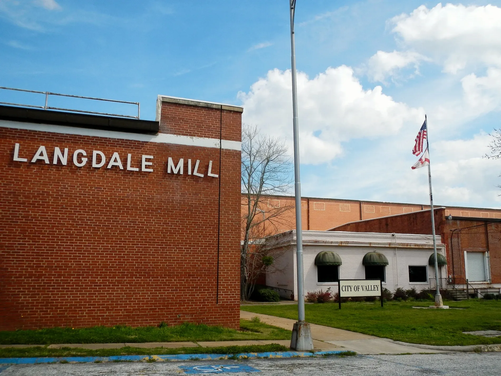
Post offices
Clinics
Places of worship
Streets nearby
24th AvenueCongregational Christian Church
250 ft
58th Street West450 ft
24th Avenue Northwest0.1 mi
23rd Avenue0.1 mi
23rd Boulevard West0.1 mi
22nd Avenue West0.1 mi
60th Place0.2 mi
60th Street West0.2 mi
59th Street East0.2 mi
56th Street West0.2 mi
19th Avenue0.2 mi
61st Street WestLafayette-Lanier Elementary School
0.2 mi
18th Avenue EastTodd Congregational Christian Church, Valley Baptist Temple, First Baptist Church of Valley
0.2 mi
18th Avenue0.2 mi
John H Hood Sr Drive0.2 mi
55th Street WestValley
0.2 mi
20th AvenueMidway Baptist Church, Langdale United Methodist Church, MainStreet Family Care, Eady City
0.2 mi
59th Street0.3 mi
21st Avenue0.3 mi
23rd BoulevardKingdom Hall of Jehovahs Witnesses, Langdale Post Office
0.3 mi
Summit Lane0.3 mi
17th Avenue East0.3 mi
62nd Street0.3 mi
56th Street East0.3 mi
62nd Street East0.3 mi
16th Avenue0.3 mi
Laurel Drive0.3 mi
63rd Street0.4 mi
64th Boulevard0.4 mi
56th Street0.4 mi
55th Street East0.4 mi
21st Place0.4 mi
54th StreetLangdale
0.4 mi
53rd Street East0.5 mi
26th Avenue0.5 mi
52nd Street0.5 mi
Cemetery Road0.5 mi
22nd AvenueLangdale Church of the Nazarene
0.5 mi
51st Street0.5 mi
River Terrace0.5 mi
17th Avenue0.6 mi
15th Avenue0.6 mi
50th Street0.6 mi
50th Street East0.6 mi
Cemeteries nearby
Langdale Cemetery0.5 mi
Industrial buildings nearby
Langdale Power Plant0.4 mi
Parks nearby
Langdale Park0.2 mi
Streams nearby
Moores Creek0.2 mi
Weirs nearby
Langdale Dam0.5 mi
 Public transit map Valley Legend
| Railway | |
| Bus | |
| Streetcar |
 Bicycle map Valley Legend
| Bike path | |
| Bike lane on roadway | |
| Cycling allowed on bus lane | |
| Bicycle street | |
| Open to cyclists | |
| Open to cyclists, good path | |
| Cycling prohibited | |
| Cobblestone |
| Long-distance bike route | (depending on scale) | |
| Long-distance bike route |
 Pedestrian map Valley Legend
| Path |
| Long-distance hiking trail | (depending on scale) | |
| Long-distance hiking trail | ||
| Pedestrians prohibited |