
East Adams Street in Enterprise, Alabama
East Adams Street in Enterprise is a residential street. It runs in a northeast-southwest direction and crosses North Edwards Street and North Main Street and ends at West Adams Street, while the other end is a cul-de-sac. Nearby there is a clinic. East Adams Street also exists in Houston County.
- Road Type
- residential street
- Route
- northeast-southwest
Image
Clinics
Streets nearby
North Edwards Street350 ft
North Main StreetSalao, The Butcher's Daughter, Firestone, Downtown Donuts, Annie's, Cristian Mission Bargain Center, Sherwin-Williams, Farmer Bo Weevil, Enterprise Farmer's Market, Frou Frou Collection, Southern Broadway, Weevil Nut Company, Magnolia, 5 Points Of Interest, The Daily Bread, Boll Weevil Soap Company, Mama Rosa's Pizza, Holley Pharmacy, Dollar General
0.1 mi
Easy StreetBryars Warren Drug
0.1 mi
West Brunson Street0.2 mi
McGriff Circle0.2 mi
North Conner Street0.2 mi
Walding Street0.2 mi
East College Street0.2 mi
South Main StreetEnterprise Fire Department, Corner Bistro, High Country Hobbies
0.2 mi
East Brunson Street0.2 mi
East Watts StreetSouthern Bone And Joint Specialists, Christ The King, Enterprise Family Medicine
0.2 mi
Swenson StreetCutt's
0.3 mi
West Grubbs Street0.3 mi
Glover AvenueVerizon, Wattsworth Weevil, Public Works Recycling Center
0.3 mi
Hillcrest Drive0.3 mi
Circle Drive0.3 mi
Hillcrest Circle0.3 mi
South Edwards Street0.3 mi
West Edgewood Drive0.3 mi
Chancy Street0.3 mi
Railroad Street0.3 mi
Reed Street0.4 mi
North Reed Street0.4 mi
Forrest Avenue0.4 mi
Reese Avenue0.4 mi
Kelly Street0.4 mi
Hollis Street0.4 mi
Annette Street0.4 mi
Airport Road0.4 mi
Hutchinson Street0.4 mi
Clover Street0.4 mi
Mixson Street0.4 mi
Johnson Street0.5 mi
Gilbert Street0.5 mi
North Rawls Street0.5 mi
Woodland Drive0.5 mi
Wesley DriveD's Thrift Shop
0.6 mi
Buildings nearby
Enterprise Recreation and Aquatic Center0.4 mi
Cemeteries nearby
Enterprise City Cemetary0.2 mi
Courthouses nearby
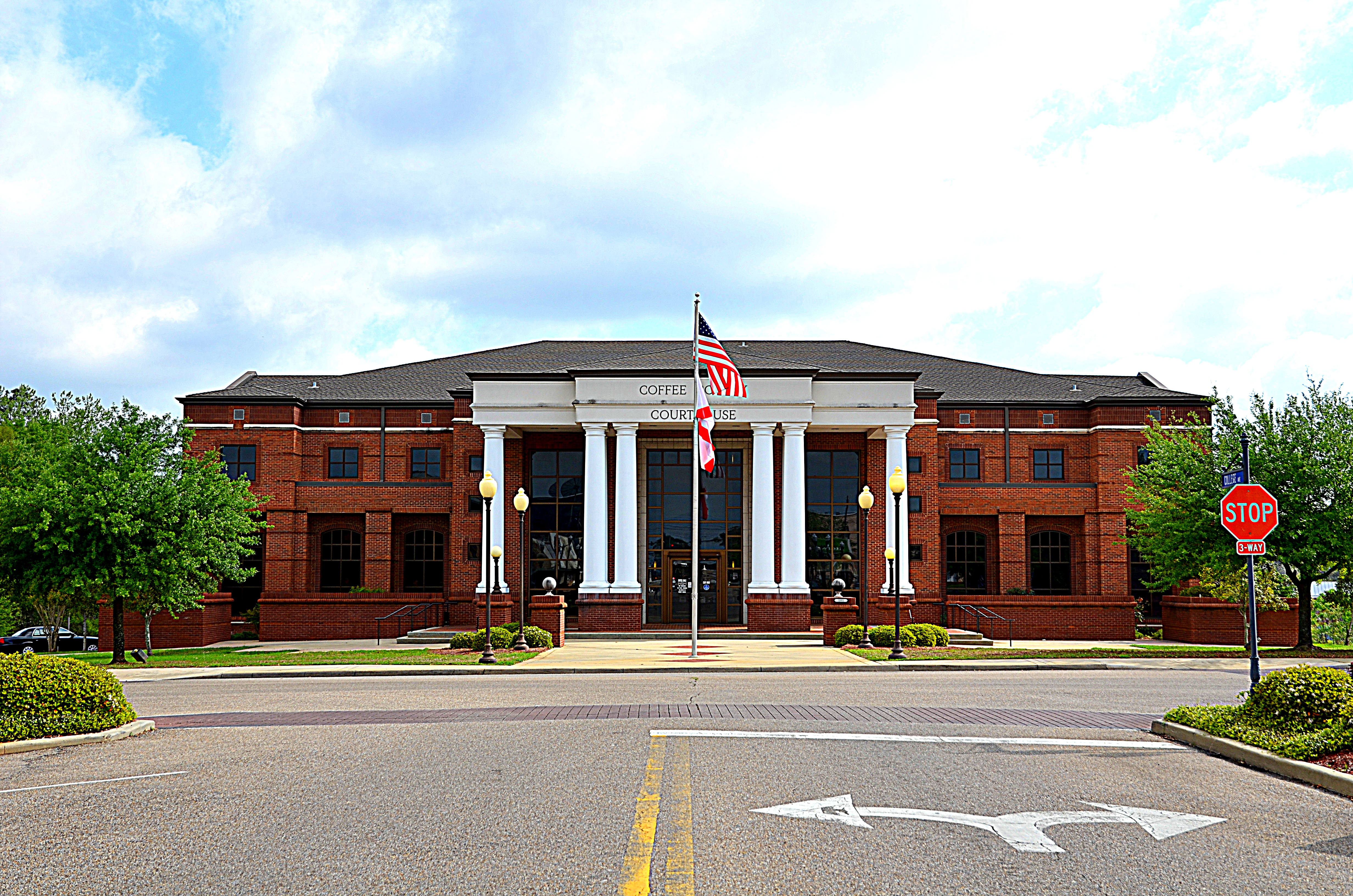
Coffee County Courthouse0.2 mi
Gift shops nearby
Pea River Historical Society0.2 mi
Libraries nearby
Enterprise Public Library0.2 mi
Museums nearby
The Depot Museum0.3 mi
Places of worship nearby
First Baptist Church450 ft
First United Methodist Church0.3 mi
Railways nearby
Wiregrass Central Railroad0.3 mi
Restaurants nearby
Cafe Roma0.2 mi
Schools nearby
Hillcrest Elementary School0.4 mi
Supermarkets nearby
Grocery Outlet0.2 mi
Public transit map Enterprise Legend
| Railway | |
| Bus | |
| Streetcar |
Bicycle map Enterprise Legend
| Bike path | |
| Bike lane on roadway | |
| Cycling allowed on bus lane | |
| Bicycle street | |
| Open to cyclists | |
| Open to cyclists, good path | |
| Cycling prohibited | |
| Cobblestone |
| Long-distance bike route | (depending on scale) | |
| Long-distance bike route |
Pedestrian map Enterprise Legend
| Path |
| Long-distance hiking trail | (depending on scale) | |
| Long-distance hiking trail | ||
| Pedestrians prohibited |