
East College Street in Andalusia, Alabama
East College Street in Andalusia is a residential street. It runs in an east-west direction starting from Wilder Avenue and crosses North Cotton Street and 8th Avenue and ends at College Street. East College Street also exists in Lauderdale County, Coffee County, Dale County, Henry County and Pike County.
- Road Type
- residential street
- Route
- east-west
Image
Fire stations
Restaurants
Town halls
Post offices
Gas stations
Convenience stores
Places of worship
Schools
Museums
- Three Notch Museum (Web) – approx. 0.3 mi.
Clinics
Fast food restaurants
Cell phone stores
Hardware stores
Streets nearby
Merrill Street450 ft
North Cotton Street0.1 mi
McArtin Street0.1 mi
2nd Street0.1 mi
Crescent Street0.1 mi
Opp Avenue0.2 mi
9th Street0.2 mi
10th Avenue0.2 mi
Troy Street0.2 mi
Court Square0.2 mi
8th Street0.2 mi
Forest Avenue0.2 mi
Oak Street0.2 mi
Coffee StreetAndalusia, Big Mike's Steakhouse
0.2 mi
East Three Notch StreetDollar Tree, Andalusia Post Office, MainStreet Family Care
0.2 mi
Burnette StreetAndalusia Fire Department
0.2 mi
Wilder Avenue0.2 mi
Pearl Street0.2 mi
Historical Central StreetThree Notch Museum
0.2 mi
Pears Street0.2 mi
Church Street0.3 mi
College Street0.3 mi
6th AvenueFirst United Methodist Church, Andalusia City Hall
0.3 mi
South Cotton Street0.3 mi
Prestwood StreetChurch of the Living God
0.3 mi
Ellis Street0.3 mi
McDonald Street0.4 mi
Chestnut Street0.4 mi
Tisdale StreetAndalusia First Baptist Church
0.4 mi
Smith Street0.4 mi
Hixon Drive0.4 mi
Jernigan Street0.4 mi
Barron Street0.4 mi
River Falls StreetZaxbys, West End United Methodist Church
0.4 mi
Baisden Street0.4 mi
Philo Lane0.4 mi
Baker Street0.4 mi
Banks nearby
Regions Bank0.2 mi
Buildings nearby
Armed Services Recruiting Center0.3 mi
Cemeteries nearby
Magnolia Cemetery0.1 mi
Courthouses nearby
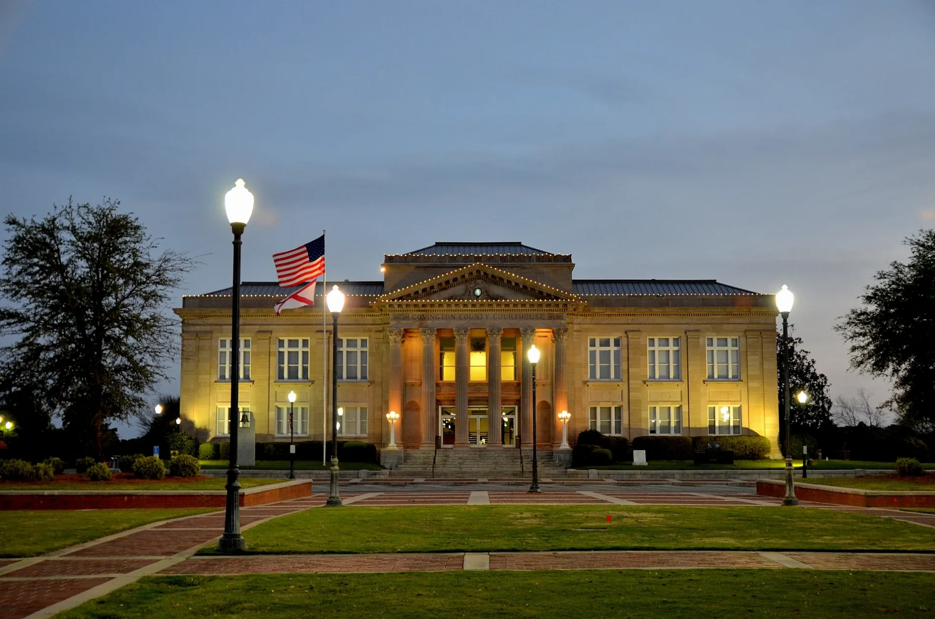
Covington County Courthouse0.1 mi
Fast food restaurants nearby
DQ Grill & Chill0.2 mi
Sonic0.3 mi
Fitness centers nearby
CrossFit Andalusia0.3 mi
Hair salons nearby
Posh Salon Studio0.3 mi
Libraries nearby
Andalusia Public Library0.3 mi
Movie theaters nearby
Clark Cinema Andalusia0.2 mi
Paint stores nearby
Sherwin-Williams0.2 mi
Variety stores nearby
Dollar General0.3 mi
Public transit map Andalusia Legend
| Railway | |
| Bus | |
| Streetcar |
Bicycle map Andalusia Legend
| Bike path | |
| Bike lane on roadway | |
| Cycling allowed on bus lane | |
| Bicycle street | |
| Open to cyclists | |
| Open to cyclists, good path | |
| Cycling prohibited | |
| Cobblestone |
| Long-distance bike route | (depending on scale) | |
| Long-distance bike route |
Pedestrian map Andalusia Legend
| Path |
| Long-distance hiking trail | (depending on scale) | |
| Long-distance hiking trail | ||
| Pedestrians prohibited |