
Charlton Drive in Dothan, Alabama
Charlton Drive in Dothan is a two-lane, asphalted residential street. It runs in a southeast-northwest direction starting from Ross Clark Circle and crosses Warrick Avenue and ends at North Cherokee Avenue.
- Road Type
- residential street
- Speed Limit
- 25 mph
- Lanes
- 2
- Route
- southeast-northwest
Image
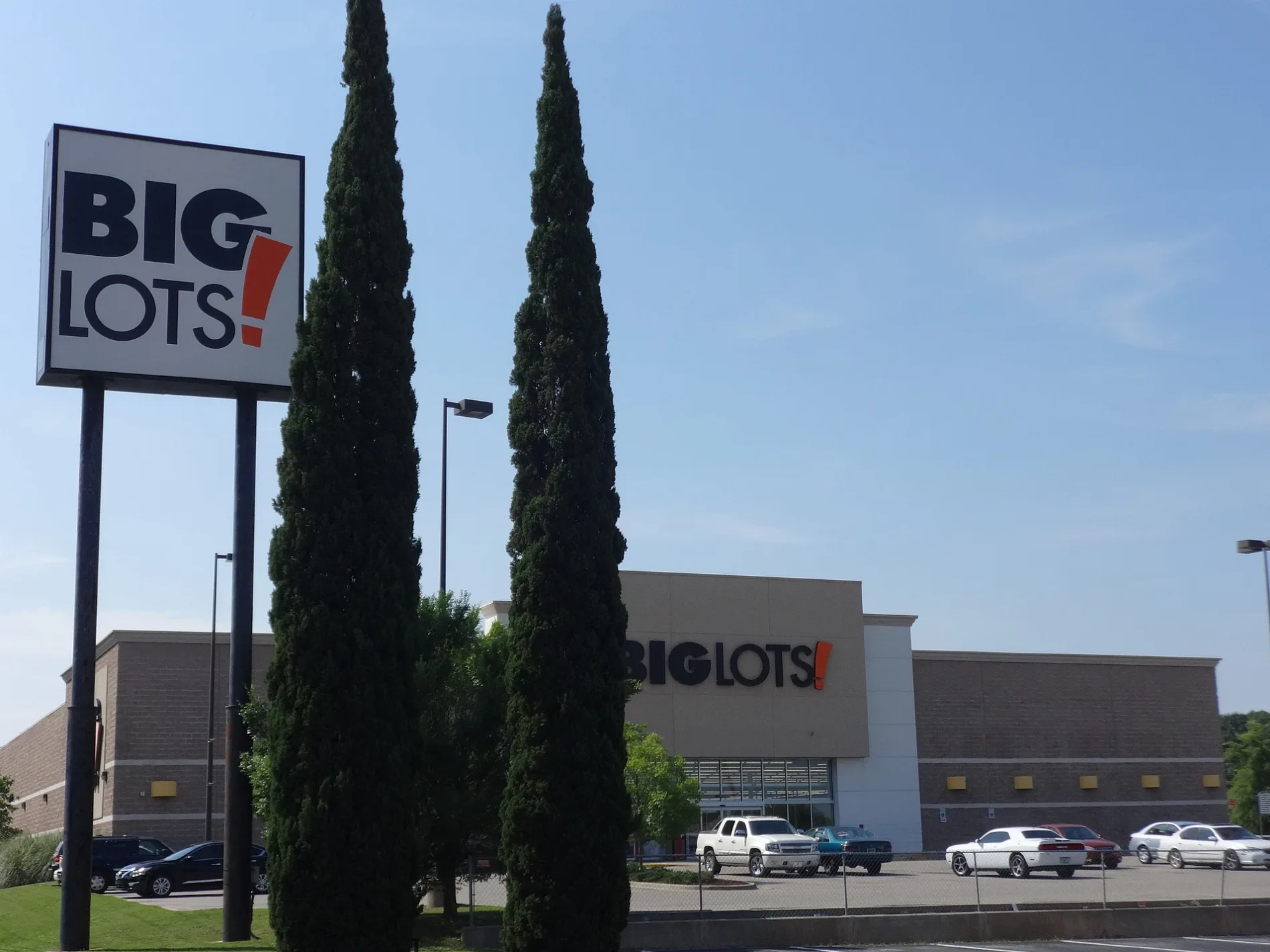
Variety stores
Places of worship
Secondhand stores
Fast food restaurants
Tobacco shops
ATMs
Department stores
Restaurants
Jewelry stores
Auto repair shops
Stationery stores
Craft stores
Pawn shops
Clothing stores
Cafes
Pet stores
Shoe stores
Bookstores
Hair salons
Supermarkets
Streets nearby
Sullivan Drive400 ft
Rosedale Terrace400 ft
Springhill Terrace0.1 mi
Warrick Avenue0.1 mi
Crepe Mytle Ct0.2 mi
Traders Drive0.2 mi
Sellers Drive0.2 mi
Breneau Drive0.3 mi
Commons DriveChuck E. Cheese
0.3 mi
Jones DriveTake 5 Oil Change
0.3 mi
Briarpatch Lane0.3 mi
Virwood Drive0.3 mi
Adrian RoadGlenwood
0.3 mi
Hiawatha Drive0.3 mi
Montgomery HighwayA W Herndon, The ATF Collection, Super Pawn, Men's Wearhouse, Car Wash USA Express, The Barn, Battery Source, Moe's Southwest Grill, GameStop, Zales, AllSouth, Sport Clips, Kelly Springs, Dollar General, Beef O'Brady's
0.3 mi
Northbound Frontage RoadSouthern Institute Of Plastic Surgery
0.4 mi
Wildwood Avenue0.4 mi
Girard Avenue0.4 mi
Keating Road0.4 mi
Mc Neil Drive0.4 mi
Tecumseh Drive0.4 mi
Sequoyah Drive0.4 mi
Ross Clark CircleCheckers, Jamie Dawn at LSB Aesthetics, Dothan Truck and Auto, Schnitzer Pig, Mr. Transmission, McDonald's, T-Mobile, Hungry Howie's, Express Car Wash, Kay Jewelers, New York Customz, The Computer Doctor, Marathon, Hobo Pantry, Circle K, Long Excavation and Recycling
0.4 mi
Baker Trace0.4 mi
Rebecca AvenueTidwell
0.5 mi
North Cherokee AvenueReset Mercantile, Tobacco Shop, Bitcoin Depot, First Christian Church, Dothan Rescue Mission
0.5 mi
Gwaltney Drive0.5 mi
North Pontiac AvenueEvergreen Presbyterian Church, Kirkland Jewelry
0.5 mi
Woodsvale Drive0.5 mi
Azalea Terrace0.5 mi
Tonawanda Drive0.5 mi
April Circle0.6 mi
Randall RoadWoodsvale
0.6 mi
Junaluska AvenueCherokee Acres
0.6 mi
Montezuma AvenueWell Rooted
0.6 mi
Auto parts stores nearby
AutoZone0.3 mi
Auto repair shops nearby
Firestone0.3 mi
Banks nearby
All In Credit Union0.3 mi
Buildings nearby
Shops On The Circle0.2 mi
Car dealerships nearby
Bondy's Ford0.3 mi
Car rentals nearby
Enterprise0.4 mi
Department stores nearby
Big Lots0.2 mi
Fast food restaurants nearby
McDonald's0.3 mi
Post offices nearby
Northside Post Office0.4 mi
Residential areas nearby
Sullivan Heights0.2 mi
Restaurants nearby
Richie B's0.3 mi
Supermarkets nearby
Cherokee Food Depot0.4 mi
Tire dealers nearby
Jim Whaley Tires0.6 mi
Other nearby
Parklane Plaza0.5 mi
Public transit map Dothan Legend
| Railway | |
| Bus | |
| Streetcar |
Bicycle map Dothan Legend
| Bike path | |
| Bike lane on roadway | |
| Cycling allowed on bus lane | |
| Bicycle street | |
| Open to cyclists | |
| Open to cyclists, good path | |
| Cycling prohibited | |
| Cobblestone |
| Long-distance bike route | (depending on scale) | |
| Long-distance bike route |
Pedestrian map Dothan Legend
| Path |
| Long-distance hiking trail | (depending on scale) | |
| Long-distance hiking trail | ||
| Pedestrians prohibited |