
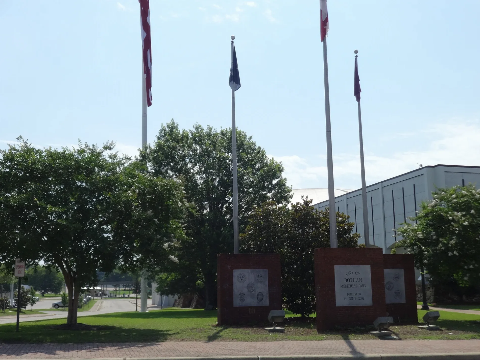
North Appletree Street in Dothan, Alabama
North Appletree Street in Dothan is a two-lane, asphalted residential street. It runs in a north-south direction starting from East Powell Street and crosses East Newton Street, East Burdeshaw Street, East Adams Street, East Troy Street, Museum Avenue and North Cherry Street and ends at North College Street.
- Road Type
- residential street
- Speed Limit
- 30 mph
- Lanes
- 2
- Postal Code
- 36303
- Route
- north-south
Image
Studios
Auto repair shops
Bars
Restaurants
Furniture stores
Places of worship
Artworks
Doctor's offices
Clothing stores
Copy shops
Attractions
Supermarkets
Variety stores
Streets nearby
North College Street450 ft
East Newton Street0.1 mi
East Adams StreetAdams Street Baptist Church
0.1 mi
North Saint Andrews Street0.1 mi
North Foster StreetHoney Bee Tees
0.1 mi
East Powell Street0.2 mi
West Burdeshaw StreetTemple Emanu-El
0.2 mi
East Troy StreetAlabama Center for Oral Surgery and Dental Implants
0.2 mi
West Adams Street0.2 mi
Seminary Street0.2 mi
Depot Street0.2 mi
Flowers Lane0.2 mi
Britt Lane0.2 mi
North Oates StreetCamera Nut Peanut
0.2 mi
Newberry Lane0.3 mi
West Powell Street0.3 mi
Brundidge Street0.3 mi
Railroad AvenueDothan
0.3 mi
Toad Street0.3 mi
Webb Road0.4 mi
Miles Lane0.4 mi
Pine Street0.4 mi
Hornsby Lane0.4 mi
North Cherry Street0.4 mi
Apartment buildings nearby
Howell School0.1 mi
Buildings nearby
The Harbor0.1 mi
Houston County Emergency Management0.1 mi
Jacoby & Meyers, LLC0.1 mi
Houston County Personnel Office0.2 mi
City of Dothan Magistrate Office0.2 mi
Commercial buildings nearby
Charles Woods Building0.2 mi
Community centers nearby
Dothan Civic Center0.2 mi
Convenience stores nearby
ZTEC0.3 mi
Courthouses nearby
U.S. Federal Courthouse0.2 mi
Event venues nearby
The Plant250 ft
Fast food restaurants nearby
American Deli0.2 mi
Gas stations nearby
Marathon0.3 mi
Government buildings nearby
Houston County Administration Building0.2 mi
Museums nearby
George Washington Carver Interpretive Museum0.1 mi
Parks nearby
Charles Woods Park0.2 mi
Pioneer Park0.2 mi
Peggi Crawford James Park0.2 mi
Walter E. Byrd Park0.3 mi
Places of worship nearby
Cherry Street African Methodist Episcopal Church0.2 mi
Police stations nearby
Dothan Police Department0.1 mi
Houston County Sherrif's Office0.2 mi
Railways nearby
CSX Dothan Subdivision0.2 mi
Restaurants nearby
Captain Hooks0.2 mi
Schools nearby
Houston County Alternative School0.2 mi
Public transit map Dothan Legend
| Railway | |
| Bus | |
| Streetcar |
Bicycle map Dothan Legend
| Bike path | |
| Bike lane on roadway | |
| Cycling allowed on bus lane | |
| Bicycle street | |
| Open to cyclists | |
| Open to cyclists, good path | |
| Cycling prohibited | |
| Cobblestone |
| Long-distance bike route | (depending on scale) | |
| Long-distance bike route |
Pedestrian map Dothan Legend
| Path |
| Long-distance hiking trail | (depending on scale) | |
| Long-distance hiking trail | ||
| Pedestrians prohibited |