
West Washington Street in Dothan, Alabama
West Washington Street in Dothan is a two-lane, asphalted residential street. It runs in an east-west direction starting from Pettus Street and crosses South Alice Street, South Lena Street, Dusy Street, South Oates Street and South Foster Street and ends at East Washington Street. West Washington Street also exists in Geneva County, Marengo County, Barbour County and Henry County.
- Road Type
- residential street
- Lanes
- 2
- Postal Code
- 36301
- Route
- east-west
Image
Clothing stores
Bars
Restaurants
Doctor's offices
Furniture stores
Supermarkets
Places of worship
Variety stores
Auto repair shops
Studios
Copy shops
Attractions
Artworks
Streets nearby
South Oates StreetTri-State Collision Center, Five Star Credit Union, San Marcos Mexican Grill, Dothan Animal Hospital, Trinity Presbyterian Church
450 ft
West Crawford Street0.1 mi
South Lena StreetPower in the Word Ministries
0.1 mi
West Lafayette Street0.2 mi
West Savannah Street0.2 mi
South Foster StreetKT's Tavern
0.2 mi
North Oates StreetCamera Nut Peanut
0.2 mi
West Main StreetFor Pet's Sake, Shell, Zaxby's, Dennis Lee Furniture, Auto Glass Medic Inc., Burlington, Rent-A-Center, Dollar Tree, Dothan, Troy Bank & Trust, Bishop's Home Style Cooking, Express Oil Change & Tire Engineers, Cool Vapors, Miles Of Flowers, Bitcoin Depot, Marathon, Jimmy John's
0.2 mi
Sonesta Street0.2 mi
Dusy Street0.3 mi
West Southport Street0.3 mi
Fortner StreetCentral Baptist Church, Fast Stop
0.3 mi
Edison Street0.3 mi
Caroline Street0.3 mi
Hammond Street0.3 mi
South Alice StreetZion African Methodist Episcopal Church, Wok N Soul
0.3 mi
Somerset Street0.3 mi
North Alice StreetChurch of Dothan
0.3 mi
West Troy Street0.3 mi
West Franklin Street0.3 mi
Catalpa AvenueGospel Light House Pentecostal Church
0.4 mi
Pettus Street0.4 mi
Morgan Street0.4 mi
Dogwood Trail0.4 mi
Arcades nearby
Rob & Dave's Arcade0.2 mi
Auto repair shops nearby
Euro Tech Automotive0.1 mi
Buildings nearby
Houston County Buildings0.1 mi
Peter A. McInish Law0.2 mi
Smith Law Firm0.2 mi
Healthcare Resource Center0.3 mi
Cafes nearby
Basketcase Cafe' & Catering400 ft
Mural City Coffee Company0.2 mi
Construction sites nearby
Southeast Alabama Community Theatre0.2 mi
Dothan City Hall0.2 mi
Courthouses nearby
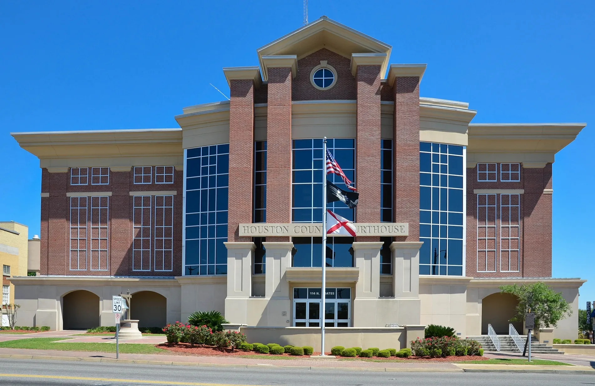
Houston County Courthouse0.2 mi
Event venues nearby
The Forum0.2 mi
Government buildings nearby
Parole and Probation Office0.3 mi
Hardware stores nearby
Wells Supply0.1 mi
Museums nearby
E. R. Porter Hardware Museum0.2 mi
Office buildings nearby
Cherry & Irwin Trial Lawyers0.2 mi
Eye Care Associates0.2 mi
Parks nearby
Corner Park0.2 mi
Places of worship nearby
First Baptist Church0.3 mi
Residential areas nearby
Henry Green Apartments0.2 mi
Restaurants nearby
Fire Stone Wood Fired Grill450 ft
Blue Moon Cafe0.2 mi
Secondhand stores nearby
The Ark Thrift Store0.3 mi
All Things Thrift Store0.4 mi
Tattoo studios nearby
Forbidden Images0.1 mi
Public transit map Dothan Legend
| Railway | |
| Bus | |
| Streetcar |
Bicycle map Dothan Legend
| Bike path | |
| Bike lane on roadway | |
| Cycling allowed on bus lane | |
| Bicycle street | |
| Open to cyclists | |
| Open to cyclists, good path | |
| Cycling prohibited | |
| Cobblestone |
| Long-distance bike route | (depending on scale) | |
| Long-distance bike route |
Pedestrian map Dothan Legend
| Path |
| Long-distance hiking trail | (depending on scale) | |
| Long-distance hiking trail | ||
| Pedestrians prohibited |