
County Road 2152 in Lee County, Alabama
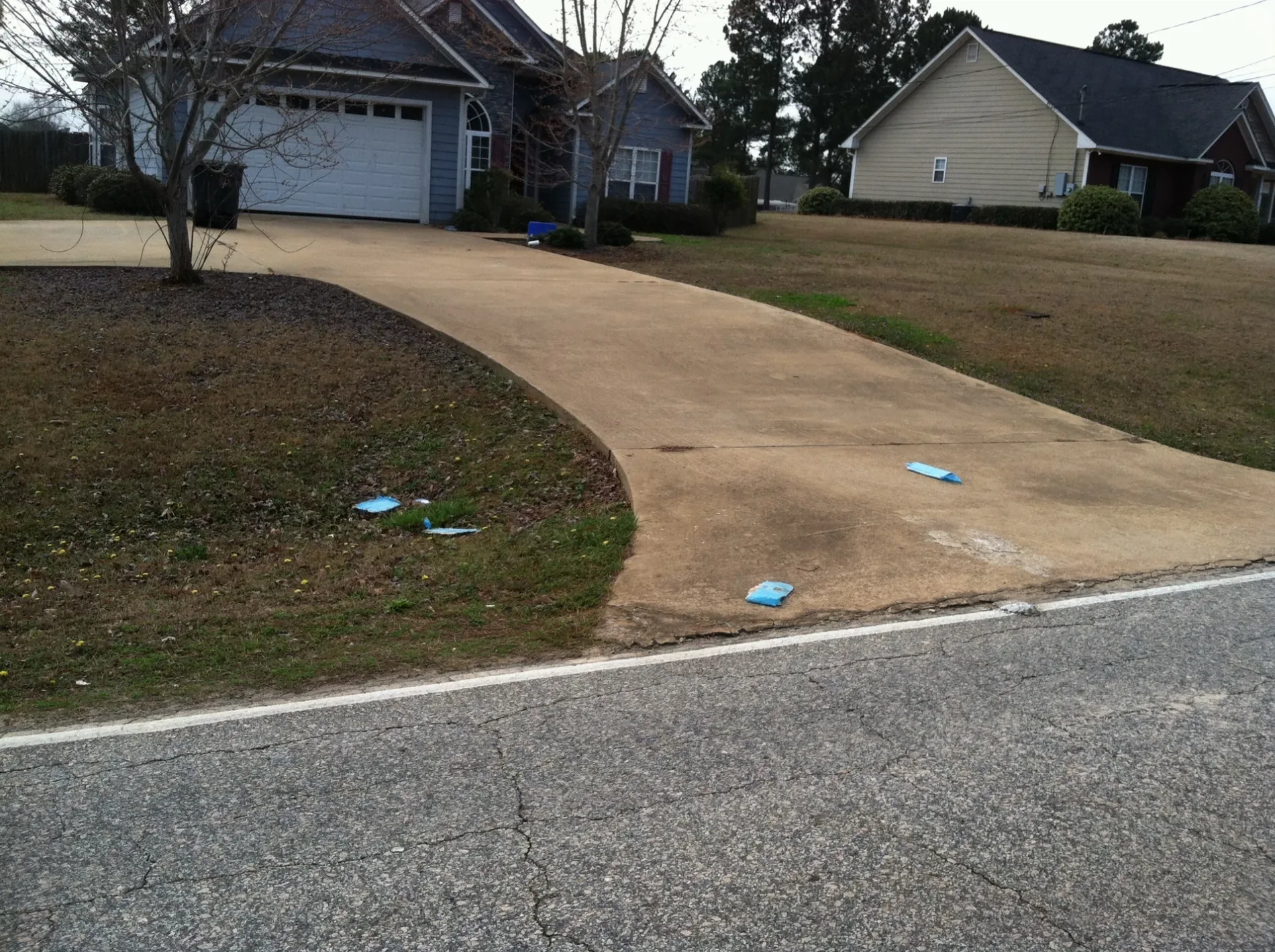
County Road 2152 in Lee County is a residential street. It runs in a northeast-southwest direction and ends at County Road 2151, while the other end is a cul-de-sac.
- Road Type
- residential street
- Route
- northeast-southwest
Image
Streets nearby
County Road 21510.2 mi
County Road 20920.2 mi
County Road 20930.3 mi
County Road 3790.3 mi
County Road 20940.4 mi
Lee Rd 20980.4 mi
County Road 7880.5 mi
County Road 8410.5 mi
County Road 783McCulloh
0.6 mi
Bell Road0.6 mi
Twilight Drive0.6 mi
County Road 3670.6 mi
County Road 3660.6 mi
McCulloh RoadWacoochee Valley
0.6 mi
County Road 9610.7 mi
County Road 3710.7 mi
County Road 7970.7 mi
Old Wagon Road0.8 mi
County Road 7840.8 mi
County Road 8420.8 mi
County Road 380Blanton, Blanton Church, Jester
0.8 mi
County Road 7940.8 mi
County Road 3690.8 mi
County Road 9040.9 mi
County Road 7890.9 mi
Sharpstone Drive0.9 mi
Hendry0.9 mi
Bent Tree Road0.9 mi
County Road 8400.9 mi
County Road 3701.0 mi
County Road 3641.0 mi
County Road 9441.0 mi
County Road 7901.1 mi
Lee Road 379Mechanicsville
1.1 mi
Lee Rd 7981.1 mi
County Road 7851.1 mi
County Road 9011.1 mi
Mountain View Drive1.1 mi
County Road 3681.1 mi
County Road 9641.1 mi
County Road 9001.2 mi
County Road 9071.2 mi
Mel Holland Road1.3 mi
County Road 8981.3 mi
Anchor Drive1.3 mi
Hill Broste Drive1.3 mi
County Road 3481.3 mi
County Road 8991.4 mi
Streams nearby
Osanippa Creek1.0 mi
 Public transit map Lee County Legend
| Railway | |
| Bus | |
| Streetcar |
 Bicycle map Lee County Legend
| Bike path | |
| Bike lane on roadway | |
| Cycling allowed on bus lane | |
| Bicycle street | |
| Open to cyclists | |
| Open to cyclists, good path | |
| Cycling prohibited | |
| Cobblestone |
| Long-distance bike route | (depending on scale) | |
| Long-distance bike route |
 Pedestrian map Lee County Legend
| Path |
| Long-distance hiking trail | (depending on scale) | |
| Long-distance hiking trail | ||
| Pedestrians prohibited |