
Kirby Lane in Huntsville, Alabama
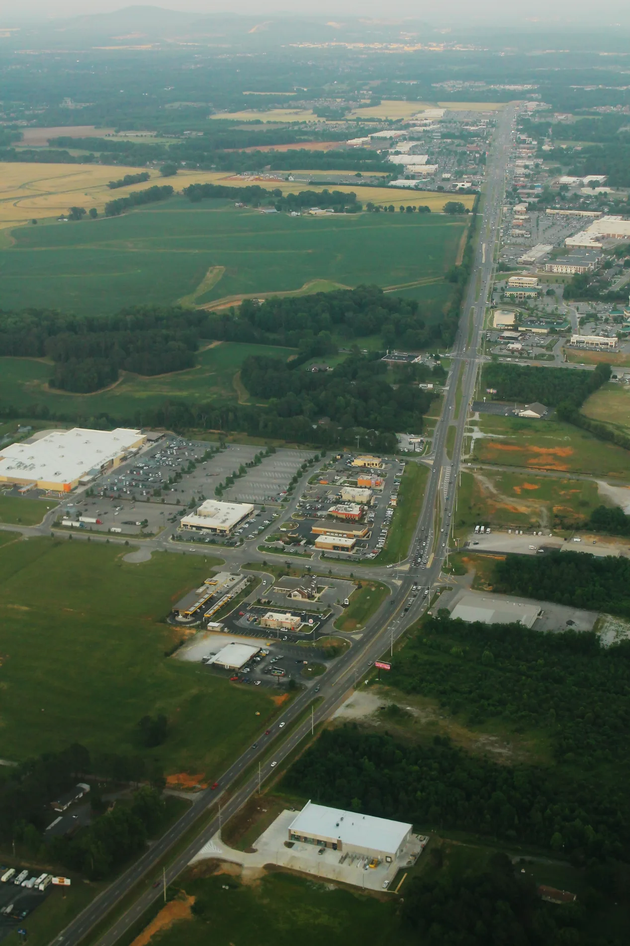
Kirby Lane in Huntsville is a residential street and runs in a north-south direction and crosses Romine BLVS NW. Kirby Lane also exists in Jefferson County.
- Road Type
- residential street
- Route
- north-south
Image
Restaurants
Vending machines
Ice cream shops
Craft stores
Game stores
Fast food restaurants
Clothing stores
Pharmacies
Bed stores
Pawn shops
Supermarkets
Gas stations
Payment terminals
Places of worship
Cafes
Tobacco shops
Streets nearby
Crutcher Drive0.2 mi
Romine BLVS NW0.2 mi
Promenade Point Parkway0.3 mi
Belle Mor Drive0.3 mi
Old Railroad Bed Road0.4 mi
Holeada Lane0.4 mi
Harvester DrivePike Cemetery
0.5 mi
John Deere Way0.5 mi
Betty Jamar Drive0.5 mi
County Line RoadMaple Grove Freewill Baptist Church
0.5 mi
Hatchett Road East0.5 mi
US Highway 72New Life Church, former Midway Baptist Church, former Bethel Church of Christ, Chevron, Mount Perrin Church, Yarbrough Cemetery, Limestone Church, Blackburn, Beacon Church, Poplar Creek, Coxey Church
0.5 mi
Sure Save Pharmacy0.6 mi
Axe Road0.6 mi
Old Pewter Lane0.6 mi
Dickens Lane0.7 mi
Honor Way0.7 mi
Freedom Way0.7 mi
Shops nearby
Tractor Supply Company0.2 mi
Auto parts stores nearby
AutoZone0.5 mi
Auto repair shops nearby
Caliber Collision0.3 mi
Firestone0.4 mi
Madison Collision Center Plus0.5 mi
Banks nearby
Family Security Credit Union0.3 mi
Regions Bank0.4 mi
Bowling alleys nearby
Madison Bowling Center0.4 mi
Buildings nearby
Wolde Flooring0.3 mi
Car washes nearby
Car Wash Express0.3 mi
Cell phone stores nearby
Verizon0.4 mi
Commercial buildings nearby
Uncle Bob's Self Storage0.3 mi
Fast food restaurants nearby
Domino's0.3 mi
Burger King0.3 mi
Panda Express0.4 mi
Zaxby's0.5 mi
Gas stations nearby
Mapco0.5 mi
Hardware stores nearby
Harbor Freight Tools0.3 mi
Industrial areas nearby
Import Use Parts and Auto Sales0.5 mi
Places of worship nearby
The Brook Church0.6 mi
Restaurants nearby
Chili's0.4 mi
IHOP0.4 mi
Retail buildings nearby
Windmill Beverages0.4 mi
Secondhand stores nearby
Stargate Auto Sales0.5 mi
Streams nearby
Knox Creek0.4 mi
Bradford Creek0.7 mi
Supermarkets nearby
Walmart Supercenter0.4 mi
Tire dealers nearby
Tire Discounters0.5 mi
Variety stores nearby
Dollar General0.5 mi
Waters nearby
Romine Lake0.2 mi
Public transit map Huntsville Legend
| Railway | |
| Bus | |
| Streetcar |
Bicycle map Huntsville Legend
| Bike path | |
| Bike lane on roadway | |
| Cycling allowed on bus lane | |
| Bicycle street | |
| Open to cyclists | |
| Open to cyclists, good path | |
| Cycling prohibited | |
| Cobblestone |
| Long-distance bike route | (depending on scale) | |
| Long-distance bike route |
Pedestrian map Huntsville Legend
| Path |
| Long-distance hiking trail | (depending on scale) | |
| Long-distance hiking trail | ||
| Pedestrians prohibited |