
Skylab Drive Northwest in Huntsville, Alabama
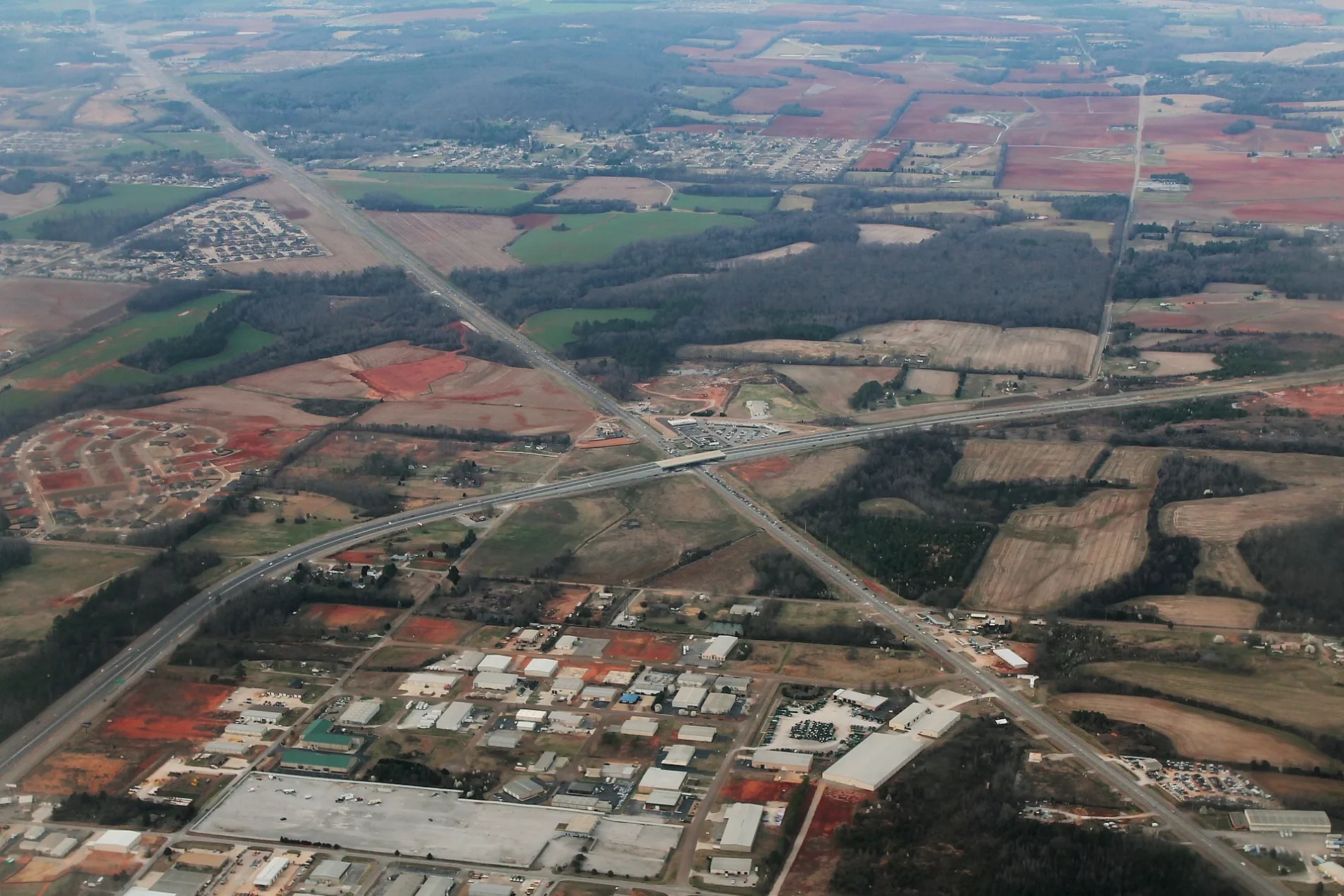
Skylab Drive Northwest in Huntsville is an unclassified road. It runs in an east-west direction and crosses Shuttle Court Northwest, Spacelab Court Northwest and Yeager Court Northwest and ends at Von Braun Drive Northwest, while the other end is a cul-de-sac.
- Road Type
- unclassified road
- Route
- east-west
Image
Cemeteries
Hospitals
Gas stations
Furniture stores
Restaurants
Schools
Bars
Places of worship
Fast food restaurants
Studios
Dentist offices
Streets nearby
Spacelab Court Northwest50 ft
Yeager Court Northwest450 ft
Shuttle Court Northwest450 ft
Von Braun Drive Northwest0.2 mi
Spacegate Drive Northwest0.2 mi
Benson Circle0.3 mi
Research Park Boulevard0.3 mi
Export Circle Northwest0.4 mi
Hall Bryant Circle0.5 mi
Import Circle0.5 mi
Bo Cole Road0.5 mi
Gabriella Drive0.5 mi
Jack Kendall Way0.6 mi
Anslee Way Northwest0.6 mi
Hinkle Circle Northwest0.6 mi
Graydon Street Northwest0.6 mi
Ardmore HighwayWaffle House
0.7 mi
Addison Drive Northwest0.7 mi
Frontage Road0.7 mi
Addison Park Drive0.7 mi
Ashor Drive Northwest0.8 mi
Nick Fitcheard Road NorthwestSeay Cemetery, Hardee's
0.8 mi
Dovington Drive Northwest0.8 mi
Stone Mill Drive Northwest0.8 mi
Stillwater Circle Northwest0.8 mi
Dr Martin Luther King, Jr. Expressway0.8 mi
Research Park Boulevard Northwest0.8 mi
High Noon Lane0.9 mi
Dan Tibbs Road Northwest0.9 mi
Timber Grove Lane Northwest0.9 mi
Cedar Crest Drive0.9 mi
Saddlegate Drive Northwest1.0 mi
Ralph Road1.0 mi
Williston Drive1.0 mi
Research Station Boulevard Northwest1.0 mi
Blake Bottom Road NorthwestLittle Indian Creek Primitive Baptist Church, Monrovia
1.0 mi
Plummer Road NorthwestIndian Creek Cemetery
1.0 mi
Binding Branch NorthwestScruggs Cemetery, Blinding Brook Northwest
1.1 mi
Anastasia Drive1.1 mi
Crescent Falls Northwest1.1 mi
Corner Brook Northwest1.1 mi
Harness Drive1.1 mi
Quail Hollow Road NW1.1 mi
Cambria Drive1.1 mi
Moonseed Trail Northwest1.1 mi
Vinemont Drive Northwest1.2 mi
Public transit map Huntsville Legend
| Railway | |
| Bus | |
| Streetcar |
Bicycle map Huntsville Legend
| Bike path | |
| Bike lane on roadway | |
| Cycling allowed on bus lane | |
| Bicycle street | |
| Open to cyclists | |
| Open to cyclists, good path | |
| Cycling prohibited | |
| Cobblestone |
| Long-distance bike route | (depending on scale) | |
| Long-distance bike route |
Pedestrian map Huntsville Legend
| Path |
| Long-distance hiking trail | (depending on scale) | |
| Long-distance hiking trail | ||
| Pedestrians prohibited |