
Mizell Circle in Mobile County Commission District 1, Alabama
Mizell Circle in Mobile County is a single-lane, asphalted residential street. It runs in a north-south direction and ends at Weatherby Street, while the other end is a cul-de-sac.
- Road Type
- residential street
- Lanes
- 1
- Speed Limit
- 20 mph
- Route
- north-south
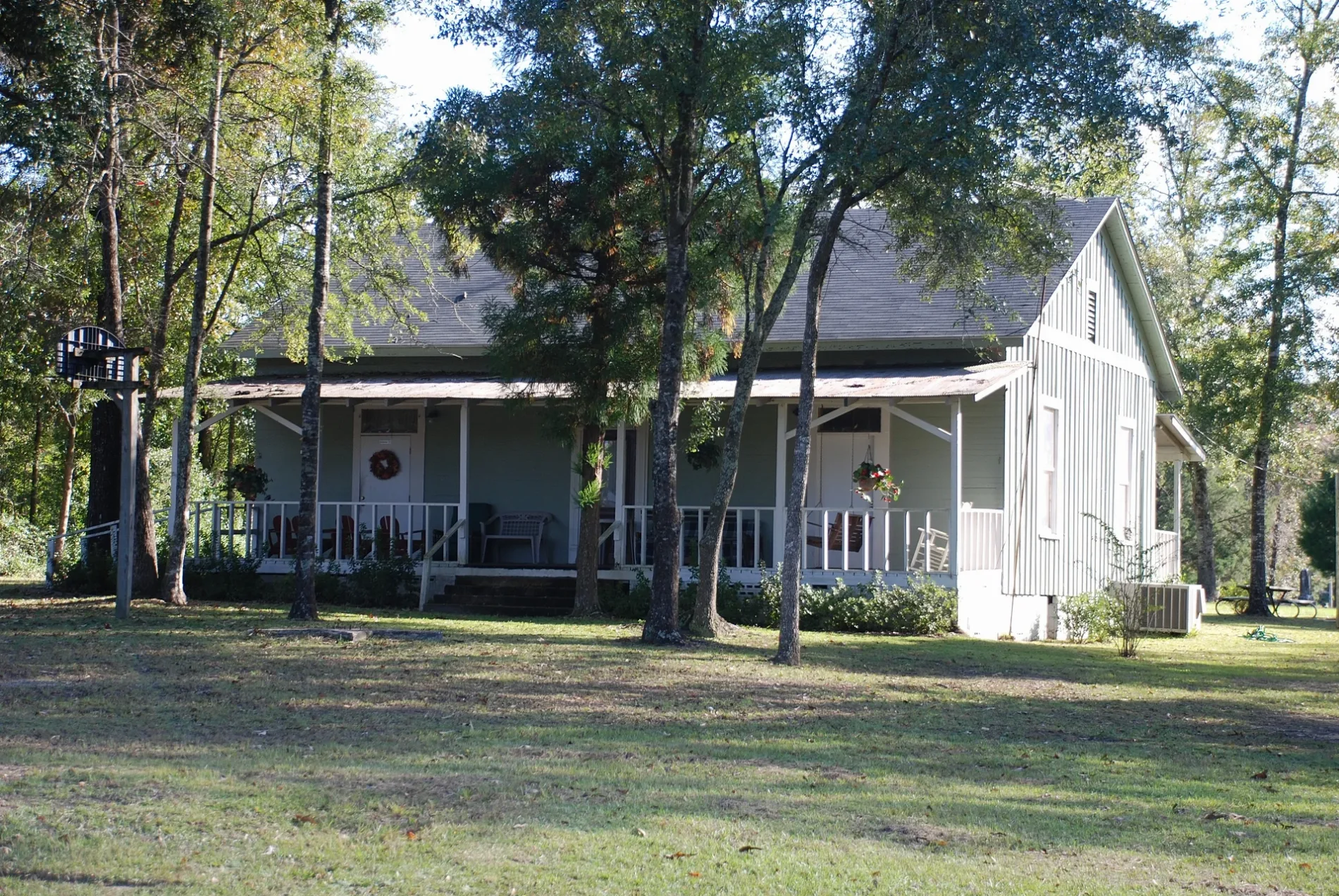
Places of worship
Streets nearby
Weatherby Street50 ft
Sheena Circle350 ft
McKenzie Court350 ft
Weatherby Street West0.1 mi
Shell StreetBlue Moose, Jiffy Lube, Freddy's
0.2 mi
Scott Drive0.3 mi
Commanchee Street0.3 mi
Apache Street0.3 mi
Le Moyne Street0.3 mi
Doby Lane0.3 mi
Mathieson Avenue0.4 mi
Alvarez Drive0.4 mi
Wilson Avenue0.4 mi
Mathieson Court0.4 mi
Howze Lane0.5 mi
North Courtaulds Avenue0.5 mi
Lincoln Street0.5 mi
Stauffer Avenue0.5 mi
Wilson Street0.5 mi
Forest AvenueCircle K
0.5 mi
Williams AvenueSaraland Baptist Church
0.6 mi
Cherokee Street0.6 mi
Barry Avenue0.6 mi
Choctaw Street0.6 mi
Pawnee Circle0.6 mi
Melinda Drive0.6 mi
Celeste RoadCeleste Road Church, Sidney
0.6 mi
Richie Street0.6 mi
Church Street0.6 mi
Oakview Drive0.6 mi
Robbie Lane0.6 mi
Center StreetFirst Church
0.7 mi
Timber Lane0.7 mi
San Carlos Drive0.7 mi
Kimberly Court0.7 mi
Bemis Street0.7 mi
Ideal Drive0.7 mi
Aztec Street0.7 mi
International Boulevard0.7 mi
Kimberly Drive0.7 mi
Robert Williams Drive0.8 mi
Wingham Drive0.8 mi
Harriet Street0.8 mi
Martha Allyn Drive0.8 mi
Janey Lane0.9 mi
Cemeteries nearby
Saraland Cemetery0.3 mi
Parks nearby
Robinette Park0.4 mi
Religious areas nearby
Wilson Avenue Baptist Church0.3 mi
Streams nearby
Norton Creek0.6 mi
 Public transit map Mobile County Commission District 1 Legend
| Railway | |
| Bus | |
| Streetcar |
 Bicycle map Mobile County Commission District 1 Legend
| Bike path | |
| Bike lane on roadway | |
| Cycling allowed on bus lane | |
| Bicycle street | |
| Open to cyclists | |
| Open to cyclists, good path | |
| Cycling prohibited | |
| Cobblestone |
| Long-distance bike route | (depending on scale) | |
| Long-distance bike route |
 Pedestrian map Mobile County Commission District 1 Legend
| Path |
| Long-distance hiking trail | (depending on scale) | |
| Long-distance hiking trail | ||
| Pedestrians prohibited |