
Africatown Boulevard in Mobile City Council District 2, Alabama
Africatown Boulevard in Mobile is a two-lane, asphalted main road (Road number US 90;US 98 Truck). It runs in an east-west direction and crosses Africatown Bridge, Cutoff Road, Green Alley, Peter Lee Street, South Magazine Road and Tin Top Lane. This street is part of the highways 98 and 90.
- Road Type
- main road
- Lanes
- 2
- Speed Limit
- 45 mph
- Route
- east-west
Image
Pharmacies
Bus stops
- bus lines 16
Streets nearby
Cutoff Road250 ft
Green Alley550 ft
Africatown Boulevard0.2 mi
Graveyard Alley0.2 mi
East Street0.2 mi
Peter Lee Street0.2 mi
Green Street0.2 mi
Susie Ansley Street0.3 mi
South Magazine Road0.3 mi
Tin Top LaneTin Top SB at Bay Bridge Rd
0.3 mi
Front Street0.3 mi
Center Street0.3 mi
East Franklin Drive0.3 mi
Semler Street0.3 mi
Traffic Street0.3 mi
Chin StreetChin St EB Off Butts St, Chin Et EB past Borer Ave, Chin EB near Telegraph Rd, Chin WB off Telegraph Rd, Chin St WB near Borer St, Chin St WB Near Butts St
0.3 mi
Wood Alley0.3 mi
Cammel Street0.3 mi
Criterion Street0.3 mi
Shelby StreetShelby St @ East St, Shelby NB at Edwards St, Shelby WB at Center St
0.3 mi
Ross Street0.3 mi
Franklin Drive North0.3 mi
South Cawthon Avenue0.4 mi
Frazier Street0.4 mi
Simpson Avenue0.4 mi
Hammond Street0.4 mi
Creamer Street0.4 mi
North Cawthon Avenue0.4 mi
Herman Drive0.4 mi
Montgomery Avenue0.4 mi
Bishop Avenue0.4 mi
Short Street0.4 mi
Maynard Portis Avenue0.4 mi
Telegraph RoadNS Merchants Yard
0.5 mi
Phillips Avenue0.5 mi
Borer Avenue0.5 mi
Reddy Street0.5 mi
Dr Thomas Avenue North0.5 mi
Buildings nearby
Polar Service Centers0.1 mi
Cemex0.2 mi
Miller Transporters Inc.0.4 mi
Cemeteries nearby
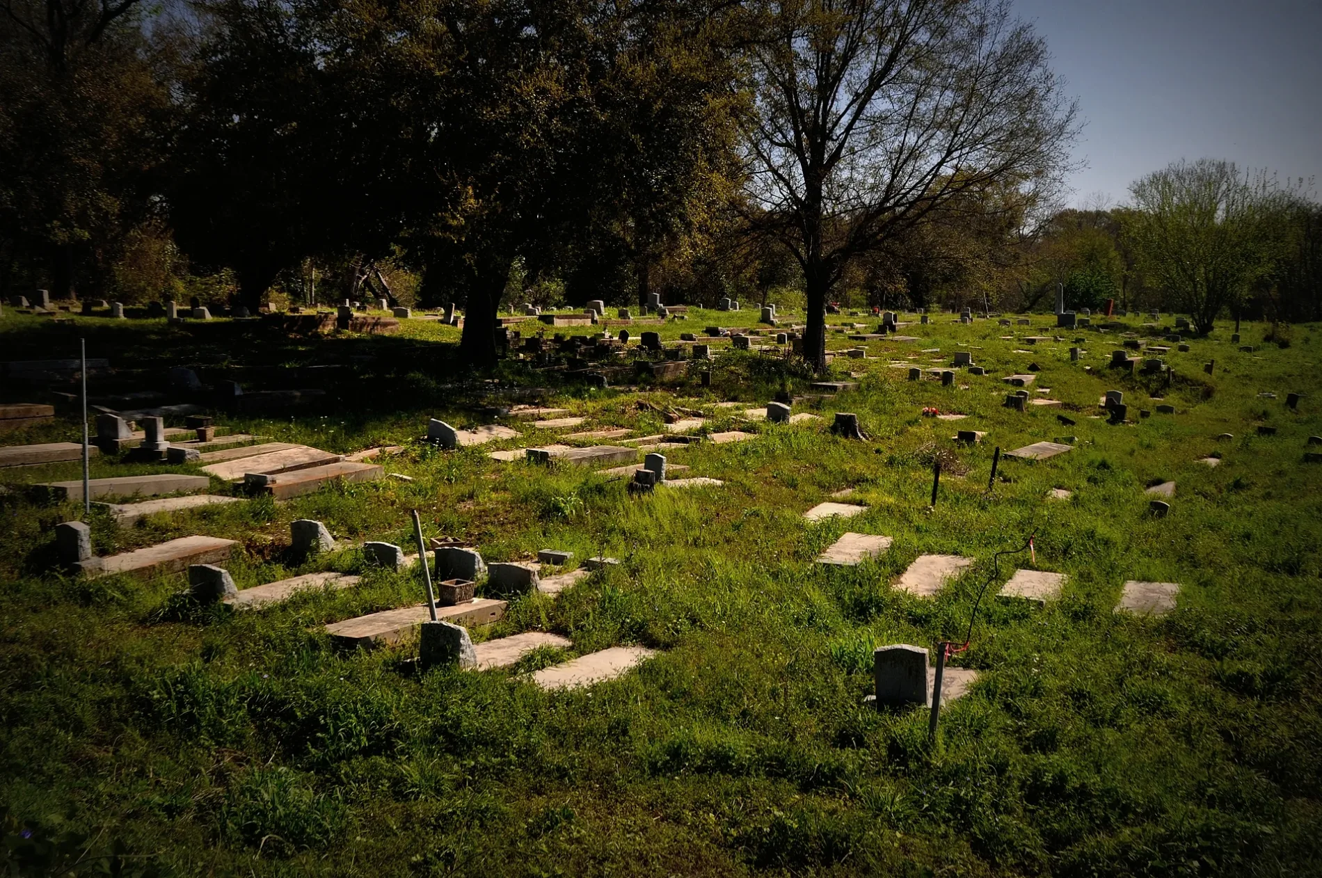
Old Plateau Cemetery0.2 mi
Churches nearby
Church Building0.2 mi
Construction sites nearby
Africatown Welcome Center250 ft
Fire stations nearby
Henry J. Reid Station 210.3 mi
Houses nearby
Auxiliary Building0.3 mi
Parks nearby
Kidd Park0.3 mi
Places of worship nearby
Union Missionary Baptist Church350 ft
Yorktown Baptist Church0.2 mi
Railways nearby
3-B South District0.5 mi
Public transit map Mobile City Council District 2 Legend
| Railway | |
| Bus | |
| Streetcar |
Bicycle map Mobile City Council District 2 Legend
| Bike path | |
| Bike lane on roadway | |
| Cycling allowed on bus lane | |
| Bicycle street | |
| Open to cyclists | |
| Open to cyclists, good path | |
| Cycling prohibited | |
| Cobblestone |
| Long-distance bike route | (depending on scale) | |
| Long-distance bike route |
Pedestrian map Mobile City Council District 2 Legend
| Path |
| Long-distance hiking trail | (depending on scale) | |
| Long-distance hiking trail | ||
| Pedestrians prohibited |