
Magis Way in Mobile City Council District 5, Alabama
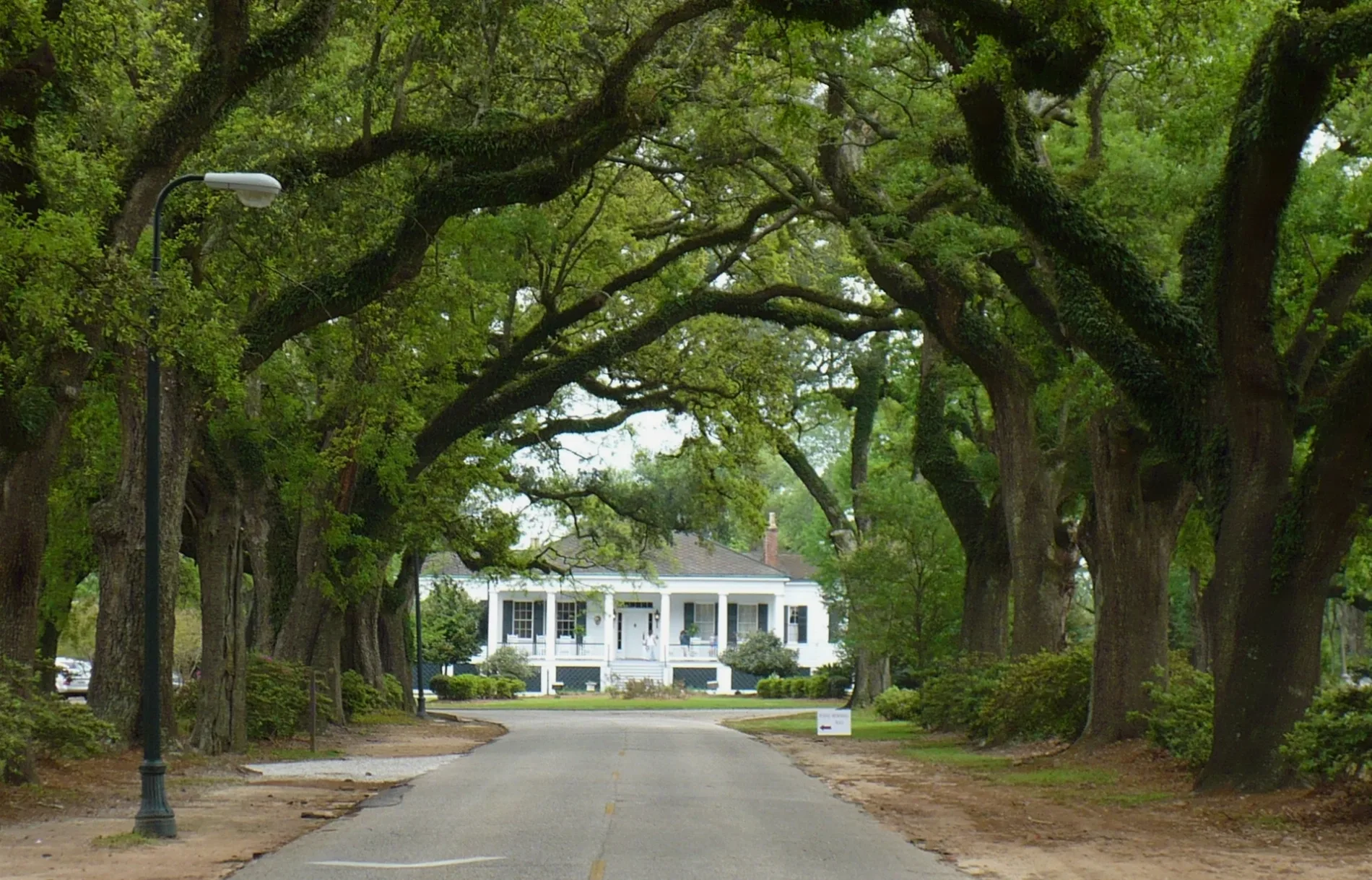
Magis Way in Mobile is an unclassified road and runs in an east-west direction starting from Avenue of the Oaks and crosses East Portier Lane and ends at Portier Lane.
- Road Type
- unclassified road
- Route
- east-west
Image
Restaurants
Pharmacies
Motels
Bus stops
Places of worship
Cafes
Clinics
Doctor's offices
Sporting goods stores
Streets nearby
East Portier Lane150 ft
Portier Lane150 ft
Avenue of the Oaks200 ft
Dilston LaneCarpe Diem Coffee and Tea Company
450 ft
Dilston Place550 ft
Loyola Lane0.2 mi
Stein Street0.2 mi
Grotto Road0.2 mi
College Lane0.3 mi
Loras Court0.3 mi
Tuthill Place0.4 mi
McRee Lane0.4 mi
Provident Lane0.4 mi
Tuthill Lane0.4 mi
The Cedars Avenue0.4 mi
Ridgewood Place0.4 mi
Dogwood Lane0.4 mi
Garden Terrace0.5 mi
Amenities nearby
St. Paul's Episcopal Church150 ft
Banks nearby
22nd State Bank450 ft
Regions Bank0.1 mi
Servis 1st Bank0.1 mi
Hair salons nearby
Cara & Company Salon0.1 mi
Libraries nearby
Burke Memorial Library0.3 mi
Places of worship nearby
Saint Joseph Chapel0.3 mi
Residential areas nearby
Spanish Villa Condominiums0.2 mi
Jesuit Residences0.3 mi
Restaurants nearby
Soul Bowlz0.2 mi
Retail areas nearby
Spring Hill Village0.2 mi
Social facilities nearby
Portier Place0.1 mi
Sports fields nearby
Dorn Field0.1 mi
Library Field0.1 mi
Murray Field0.2 mi
Supermarkets nearby
Rouses0.2 mi
Technical colleges nearby
Toolen Hall200 ft
O'Leary Hall300 ft
Byrne Memorial Hall0.1 mi
Yancey Hall0.2 mi
Mobile Hall0.2 mi
Deignan Hall0.2 mi
Sonneborne Field House0.2 mi
Moorer Hall0.2 mi
Student Center0.2 mi
Viragh Hall0.3 mi
Walsh Hall0.3 mi
Skip's Place0.3 mi
Yenni Hall0.3 mi
Fine Arts Building0.4 mi
Altmayer Place0.4 mi
Public transit map Mobile City Council District 5 Legend
| Railway | |
| Bus | |
| Streetcar |
Bicycle map Mobile City Council District 5 Legend
| Bike path | |
| Bike lane on roadway | |
| Cycling allowed on bus lane | |
| Bicycle street | |
| Open to cyclists | |
| Open to cyclists, good path | |
| Cycling prohibited | |
| Cobblestone |
| Long-distance bike route | (depending on scale) | |
| Long-distance bike route |
Pedestrian map Mobile City Council District 5 Legend
| Path |
| Long-distance hiking trail | (depending on scale) | |
| Long-distance hiking trail | ||
| Pedestrians prohibited |