
Washington Street Southeast in Huntsville, Alabama
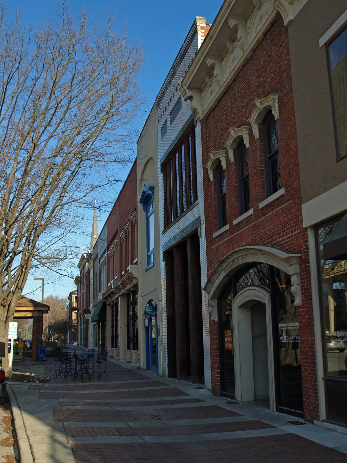
Washington Street Southeast in Huntsville is a two-lane, asphalted secondary road. It runs as a one-way street in a southeast-northwest direction starting from East Side Square and crosses North Side Square, Randolph Avenue Southeast and Clinton Avenue East and ends at Washington Street Northeast. Nearby you can find 2 pubs and a fast food restaurant. Washington Street Southeast also exists in Etowah County.
- Road Type
- secondary road
- Lanes
- 2
- Route
- southeast-northwest
Image
Streets nearby
North Side SquareThe Poppy and Parliament
200 ft
Randolph Avenue Southeast250 ft
East Side Square350 ft
Clinton Avenue EastThe Bottle, Lush Studio Luxury Extensions, Honest Coffee, Yala Avenue, Caley Paige Home and Gifts, Maxwell's Music, In Bloom Downtown, Roosevelt and Company, Creative State
450 ft
Jefferson Street SouthTrustmark, Seashore Urban Oyster Bar
450 ft
Southside Square500 ft
West Side SquareHuntsville, Westside Square
500 ft
Eustis Avenue SoutheastGreen Bus Brewing
500 ft
South Side SquareSmall Bull sculpture
550 ft
Greene Street Southeast0.1 mi
Spring Street Southwest0.1 mi
Washington Street NortheastHumphrey's
0.1 mi
Holmes Avenue NortheastDrake State Technical College Extension, Five Points, Carlyle Art Gallery
0.1 mi
Franklin Street SoutheastThe Orthopaedic Center, Saint Marks Church
0.1 mi
Greene Street Northeast0.1 mi
Lincoln Street SoutheastCentral Presbyterian Church
0.1 mi
Madison Street0.1 mi
Jefferson Street NorthHuntsville Post Office, Wheelhouse Salon, The Moon Bakeshop
0.1 mi
Lincoln Street Northeast0.2 mi
Gates Avenue SoutheastPiper and Leaf, Constitution Hall Park Gift Shop & Tours
0.2 mi
Figures Alley0.2 mi
Apartment buildings nearby
The Avenue0.2 mi
Bars nearby
Phat Sammy's0.1 mi
Buildings nearby
Wimer & Lee, P.A.400 ft
Hotel Russell Erskine0.1 mi
Courthouses nearby
Madison County Courthouse400 ft
Event venues nearby
The Loft on Washington300 ft
Hardware stores nearby
Harrison Brothers Hardware0.1 mi
Hotels nearby
106 Jefferson Huntsville, Curio Collection by Hilton0.1 mi
Museums nearby
Constitution Hall Park0.2 mi
Weeden House0.2 mi
Parking garages nearby
City of Huntsville Parking Garage D0.1 mi
Parking lots nearby
Garage O100 ft
Parks nearby
Washington Park550 ft
Places of worship nearby
First Methodist Church300 ft
Randolph Church350 ft
Church of the Nativity0.1 mi
Temple B'nai Sholom0.2 mi
The Visitation of Saint Mary Catholic Church0.2 mi
First Presbyterian Church0.2 mi
Central Church of Christ0.2 mi
Pubs nearby
Jack Brown's Beer & Burger Joint100 ft
BeeZr250 ft
Voodoo Lounge0.1 mi
Restaurants nearby
Commerce Kitchen0.1 mi
Cotton Row0.1 mi
Sam & Greg's Pizzeria/ Gelateria0.1 mi
Town halls nearby
Huntsville City Hall0.1 mi
Other nearby
Old Town Historic District0.2 mi
Public transit map Huntsville Legend
| Railway | |
| Bus | |
| Streetcar |
Bicycle map Huntsville Legend
| Bike path | |
| Bike lane on roadway | |
| Cycling allowed on bus lane | |
| Bicycle street | |
| Open to cyclists | |
| Open to cyclists, good path | |
| Cycling prohibited | |
| Cobblestone |
| Long-distance bike route | (depending on scale) | |
| Long-distance bike route |
Pedestrian map Huntsville Legend
| Path |
| Long-distance hiking trail | (depending on scale) | |
| Long-distance hiking trail | ||
| Pedestrians prohibited |