
Harpersville, Alabama
Harpersville is located in Shelby County. About 1,614 people live here. Between 2010 and 2020, the population declined from 1,637 to 1,614. The region is at 139 meters above sea level. The area covers about 55.7 square kilometers. There are about 137 streets in Harpersville. The ZIP codes are 35078. The dialing code is 205. Harpersville is town in Shelby County, Alabama, United States. Among other things, Harpersville has schools. More information at www.townofharpersville.com.
Harpersville – Facts
| Population | 1614 |
|---|---|
| Area | 55.7 km² |
| Elevation | 139 m |
| Located in | Shelby County |
| Postal code | 35078 |
| Country | United States |
| Official name | Harpersville |
| Website | https://www.harpersvilleal.gov/ |
Data source: Wikidata (CC0)
Photos from Harpersville
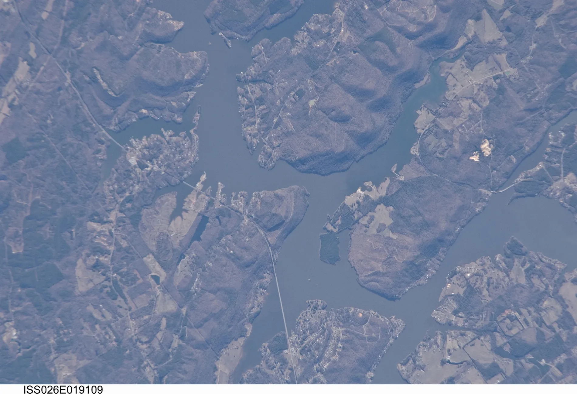
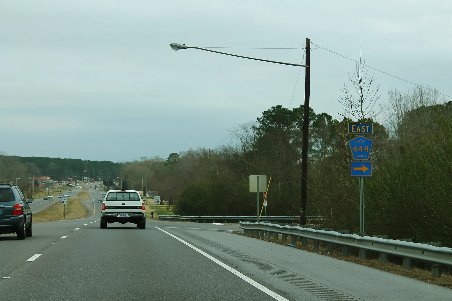
Streets in Harpersville, Alabama
Streets
Klein Road
Erratta, Klein Church
Church StreetMount Olive Church
Meadow LaneProvidence Church
Oak StreetHarpersville Post Office
Waldrop DriveThe Old Country Church
Chancellor Ferry RoadChancellor Crossroads, Chancellor Cemetery
Country Church Road
Ridgewood Drive
Osborn Mhp
Bridle Lane
Wheat Street
Ploughman Circle
Datcher Lane
Shelby Street
Mickeys Circle
Mulberry Lane
Brooklyn Lane
Berryhill Lane
Tanyard Road
Dyer Road
Twilight Lane
Farmingdale Terrace
Green Acres Drive
Lamplight Circle
Harper Apartment
Walt Hall Swamp Road
Kelly Hill Road
Harvest Lane
Gateway Drive
Barber Lane
Sunny Dale Lane
Golden Wood Drive
Datchre Road
Cottonwood Circle
Sunset Drive
Camelia Street
Edgehill Road
Walt Hale Swamp Road
Shadow Lane
Grace Drive
County Road 449
Watercross Drive
Rosa Lane
Sunnydale Lane
Landfair Drive
Cotton Gin Road
Larkin Lane
Pineway Road
Richey Court
Gallups Cross Road
Goldenrod Lane
Lakeview Circle
Farmingdale Lane
Pineview Street
Prairy Rose Lane
Jackson Street
Kelly Hill Lane
Gates Lane
Bridle Trail
Viaduct Drive
Sumners Lane
Chancellor Ferry Loop
Lovely Lane
Walt Hale Swamp
Kelly Hill Circle
Water Cress Drive
Woodland Road
Moss Wood Drive
Sun Valley Road
Railroad Street
Quail Circle
Sumner Lane
Burns Lane
Single Tree Road
M Street
Plantation Drive
Lonely Oak Drive
Kristi Lane
Ranch Road
Chancellor Ferry Lane Public transit map Harpersville Legend
| Railway | |
| Bus | |
| Streetcar |
 Bicycle map Harpersville Legend
| Bike path | |
| Bike lane on roadway | |
| Cycling allowed on bus lane | |
| Bicycle street | |
| Open to cyclists | |
| Open to cyclists, good path | |
| Cycling prohibited | |
| Cobblestone |
| Long-distance bike route | (depending on scale) | |
| Long-distance bike route |
 Pedestrian map Harpersville Legend
| Path |
| Long-distance hiking trail | (depending on scale) | |
| Long-distance hiking trail | ||
| Pedestrians prohibited |