
West Cherry Street in Payson, Arizona
West Cherry Street in Payson is a residential street. It runs in an east-west direction and crosses South Tonto Street and ends at South Colcord Road, while the other end is a cul-de-sac.
- Road Type
- residential street
- Route
- east-west
Image
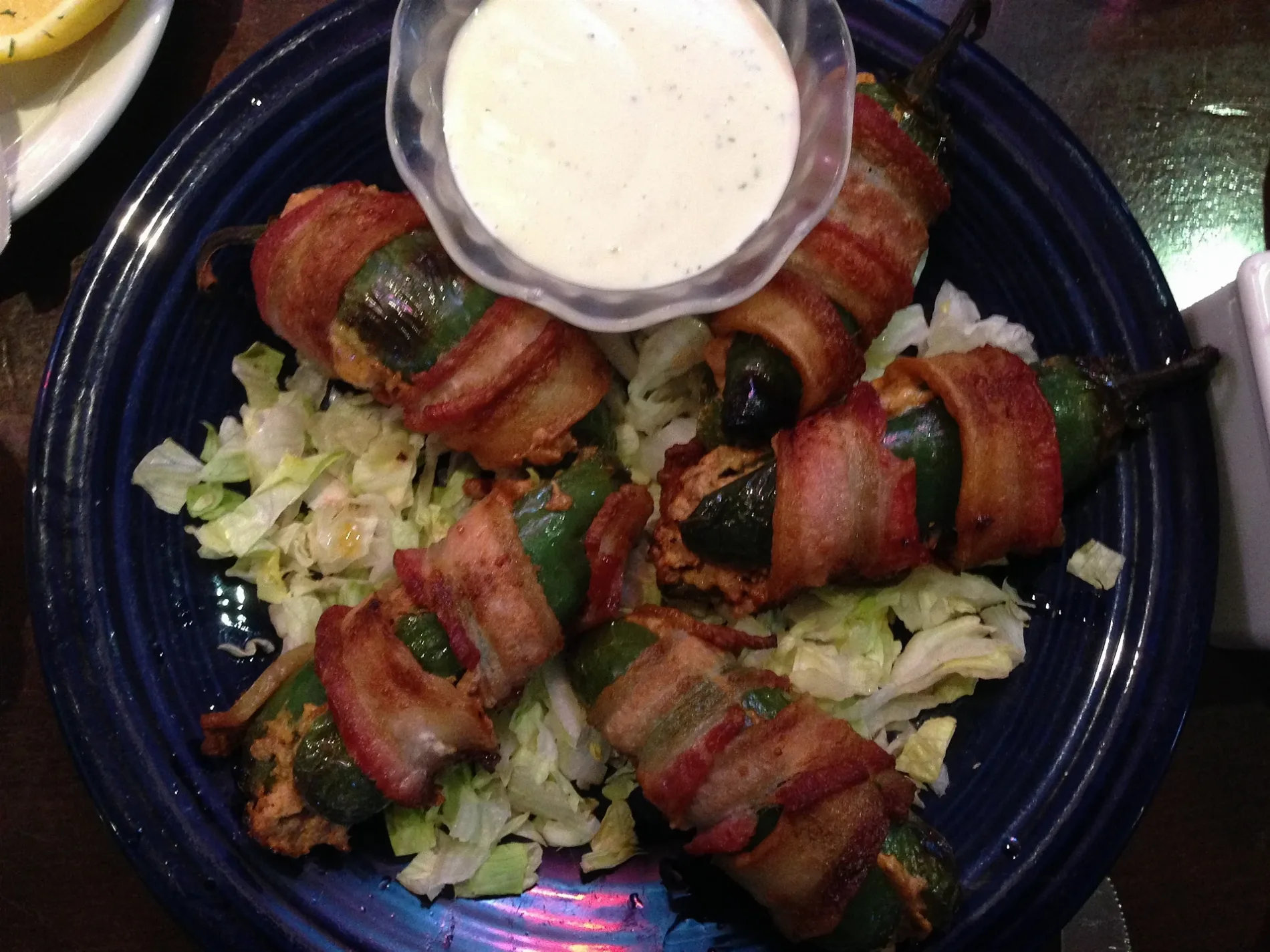
Restaurants
- Macky’s Grill (American, outdoor seating, takeout, delivery service, wheelchair accessible, brewery: four_peaks_kiltlifter;four_peaks_sunbru;samuel_adams_seasonal_brew;blue_moon_belgian;sierra_nevada_pale_ale;bud_light;barefoot_white_zinfandel;pinot_grigio;chardonnay;merlot;cabernet_sauvignon, opening hours: Tue–Sat 10–20; Sun 10–16) at West Main Street 201 (85541) – approx. 0.2 mi.
Doctor's offices
Department stores
Community centers
- Noley's Books, Art & Whatnot | Coffeehouse at E Hwy 260 103 (85541). A unique bookbar and gathering place that offers new pre-loved books, amazing coffee, baked goods, and lunch. We proudly showcase local art and American-made gifts, creating a warm and inviting atmosphere for the community to connect and unwind. – approx. 0.6 mi.
Cell phone stores
Places of worship
Schools
Cafes
Clinics
Pharmacies
Social facilities
Fast food restaurants
Gas stations
Convenience stores
Motels
Collector shops
Auto parts stores
Streets nearby
South Tonto Street300 ft
West Mc Kamey Street350 ft
West Frontier Street550 ft
West Summit Street0.1 mi
South Colcord Road0.1 mi
South Myrtle Street0.1 mi
South Meadows Street0.1 mi
West Wade LaneShepherd of The Pines-Ev Lutheran Church, Denzeisen Dairy Cremery Store
0.2 mi
East Frontier Street0.2 mi
South Ash StreetExpedition Church
0.2 mi
West Elm Street0.2 mi
West Nugget Street0.3 mi
West Bonita Street0.3 mi
South Vanderlink Drive0.3 mi
West Pecan Street0.3 mi
South Beeline HighwaySpeedway, Circle K, Budget Inn, Oscar's Fresh Mex, Domino's
0.3 mi
East Main StreetThe Shroom Room, Banner Health Clinic
0.3 mi
South Westerly Road0.4 mi
East Cedar Lane0.4 mi
West Aero DriveSpeedway
0.4 mi
West Cedar Lane0.4 mi
West Rim View Road0.4 mi
Joy Drive0.4 mi
South Goodfellow Road0.4 mi
West Randall Lane0.4 mi
Annies Alley0.5 mi
South Bootleg Alley0.5 mi
West Estate Lane0.5 mi
Banks nearby
National Bank of Arizona0.2 mi
PNC Bank0.2 mi
Buildings nearby
Berkshire Hathaway HomeServices0.2 mi
Cafes nearby
Dutch Bros. Coffee0.2 mi
Convenience stores nearby
Circle K0.4 mi
Fast food restaurants nearby
Alfonso's Mexican Food0.3 mi
Fire stations nearby
Payson Fire Station0.2 mi
Motels nearby
Rim Country Inn0.3 mi
Motel 6 Payson0.4 mi
Movie theaters nearby
Sawmill Theatres0.2 mi
Post offices nearby
Payson Post Office0.2 mi
Residential areas nearby
Mountain Shadows Mobile Trailer Resort0.2 mi
Starview Mobile Home Park0.2 mi
Center Ridge Apartment Homes0.3 mi
Restaurants nearby
Chili's0.2 mi
Bee Line Cafe0.3 mi
Pinon Cafe0.3 mi
School buildings nearby
Rim Country Middle School0.3 mi
Payson Center for Success Academy0.3 mi
Shelters nearby
Student Pickup / Drop off Cover0.3 mi
Tire dealers nearby
Big O Tires0.3 mi
Public transit map Payson Legend
| Railway | |
| Bus | |
| Streetcar |
Bicycle map Payson Legend
| Bike path | |
| Bike lane on roadway | |
| Cycling allowed on bus lane | |
| Bicycle street | |
| Open to cyclists | |
| Open to cyclists, good path | |
| Cycling prohibited | |
| Cobblestone |
| Long-distance bike route | (depending on scale) | |
| Long-distance bike route |
Pedestrian map Payson Legend
| Path |
| Long-distance hiking trail | (depending on scale) | |
| Long-distance hiking trail | ||
| Pedestrians prohibited |