
South Avery Street in Mesa, Arizona
South Avery Street in Mesa is an asphalted residential street. It runs in a north-south direction and crosses East Innovation Way South, East Ulysses Avenue, East Upton Avenue, East Unger Avenue, East Union Avenue, South Rowen Street and East Vecino Avenue and ends at East Verona Avenue, while the other end is a cul-de-sac.
- Road Type
- service road
- Speed Limit
- 25 mph
- Route
- north-south
Image
Charging stations
Cafes
Bookstores
Community centers
Universities
Bars
Bus stops
Fast food restaurants
Parking lots
Restaurants
Bike shops
Marketplaces
General stores
Attractions
Streets nearby
7th Street350 ft
East Innovation Way South450 ft
East Ulysses Avenue0.1 mi
South Tweet Street0.1 mi
East Sonoran Arroyo Mall0.1 mi
South Amulet Mall0.2 mi
South Sterling Mall0.2 mi
South Backus MallStarbucks, ASU Polytechnic Campus Bookstore
0.2 mi
East Sun Devil MallSubway, Multicultural Communities of Excellence, Choolah Indian BBQ
0.2 mi
South Avery MallPoly Marketplace, Polytechnic Bike Co-Op;Bike Co-Op
0.2 mi
South Terripin Mall0.2 mi
East Desert Mall0.3 mi
East Texas Mall0.3 mi
South Twining Street0.4 mi
East Tiburon Avenue0.4 mi
South Sterling Street0.4 mi
Cafes nearby
Citrus Dining Pavilion0.2 mi
Grasslands nearby
Lantana Lawn0.3 mi
Libraries nearby
Academic Center0.2 mi
Military areas nearby
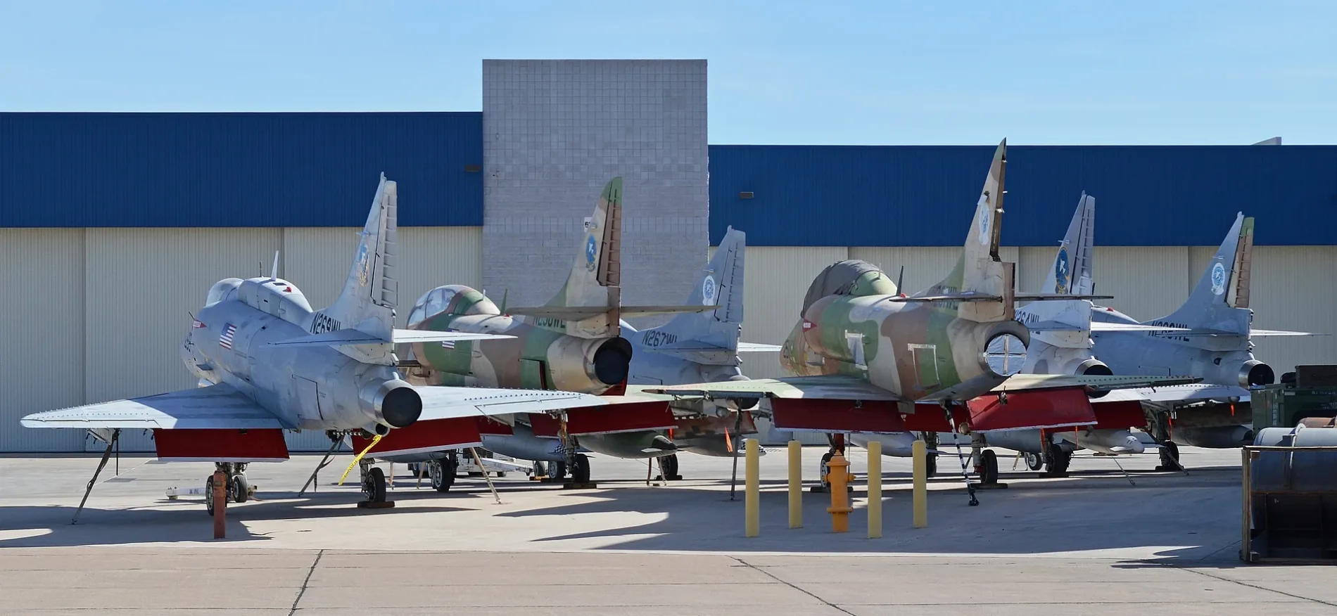
US Army Reserve Herrera Annex300 ft
Parks nearby
Quad0.3 mi
Recreation grounds nearby
ASU Recreation Grounds200 ft
Residential buildings nearby
Bell Residence Hall0.1 mi
Sports fields nearby
Manzanita Field0.3 mi
University buildings nearby
Dean Hall500 ft
Santa Catalina Hall0.1 mi
Palo Blanco Hall0.1 mi
Wanner Hall0.1 mi
Applied Arts Pavilion0.1 mi
Taylor Hall0.1 mi
Agribusiness Center0.1 mi
Sutton Hall0.1 mi
Santan Hall0.2 mi
Facilities Management 150.2 mi
Arizona State University Student Union0.2 mi
Aravaipa Auditorium0.2 mi
Engineering Design Studio0.2 mi
Interdisciplinary Science and Technology Building 120.2 mi
Technology Center0.2 mi
Picacho Hall0.2 mi
Century Hall0.3 mi
Administration Building0.3 mi
Student Union Annex0.3 mi
Quad 40.3 mi
Lantana Hall0.3 mi
Quad 10.4 mi
Quad 30.4 mi
Phantom Residence Hall0.4 mi
Talon Residence Hall0.4 mi
Public transit map Mesa Legend
| Railway | |
| Bus | |
| Streetcar |
Bicycle map Mesa Legend
| Bike path | |
| Bike lane on roadway | |
| Cycling allowed on bus lane | |
| Bicycle street | |
| Open to cyclists | |
| Open to cyclists, good path | |
| Cycling prohibited | |
| Cobblestone |
| Long-distance bike route | (depending on scale) | |
| Long-distance bike route |
Pedestrian map Mesa Legend
| Path |
| Long-distance hiking trail | (depending on scale) | |
| Long-distance hiking trail | ||
| Pedestrians prohibited |