





Cartogiraffe.com

Pima County, Arizona

Pima County is located in Arizona. About 1,010,025 people live here. Between 2010 and 2020, the population grew from 980,263 to 1,043,433. The area covers about 23,799.0 square kilometers. The region is divided into 5 Municipalities and 9 Subregions. The region was founded in 1864. The name originates from Akimel O'odham (Native American people) Pima County is county in Arizona, United States. More information at www.pima.gov.
Named after Akimel O'odham
Year built 1864
Area 23799 km²
Located in Arizona
Country United States
Population 1043433
Native name Pima County

Map marker Pima County, Arizona

Public transit map Public transit map Pima County Legend
Railway
Bus
Tram
Bicycle map Bicycle map Pima County Legend
Bike path
Bike lane on roadway
Cycling allowed on bus lane
Bicycle street
Open to cyclists
Open to cyclists, good path
Cycling prohibited
Cobblestone
Long-distance bike route (depending on scale)
Long-distance bike route
Pedestrian map Pedestrian map Pima County Legend
Path
Long-distance hiking trail (depending on scale)
Long-distance hiking trail
Pedestrians prohibited
Pima County
Marana
South Tucson
Tucson
Campus Farm
Iron Horse
Jefferson Park
Menlo Park
Dunbar Spring
Panorama Estates
Pie Allen
West University
Samos
Mountain 1st Avenue
El Presidio
Barrio Anita
Barrio Blue Moon
Northwest
El Cortez
Flowing Wells
North University
Armory Park
Hedrick Acres
Rincon Heights
Sam Hughes
Keeling
Miracle Manor
Balboa Heights
Coronado Heights
Broadway Northeast
Barrio Hollywood
El Rio Acres
Silvercroft
Barrio Viejo
El Gheko
Harold Bell Wright Estates
Palo Verde Park
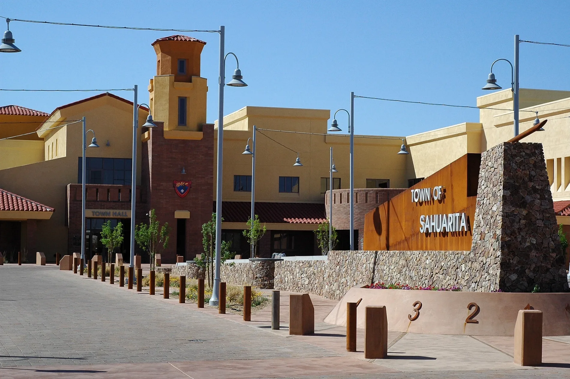
Sahuarita
Oro Valley
Gu Vo District
Hickiwan
Pisinemo District
Gu Achi District
Schuk Toak District
Sells District
Baboquivari District
Chukut Kuk District
San Xavier District