
Deering Court in Oakland, California
Deering Court in Oakland is a residential street. It runs in a southeast-northwest direction starting from Bona Street and crosses Deering Street. It ends in a cul-de-sac.
- Road Type
- residential street
- Route
- southeast-northwest
Image
Bus stops
Museums
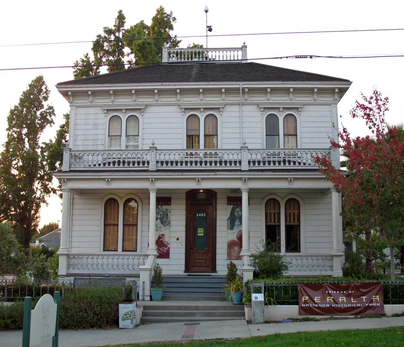
- Peralta Hacienda Historical (Web) – approx. 0.3 mi.
Schools
Streets nearby
Deering Street250 ft
Bona Street250 ft
Brookdale AvenueLucky Three Seven
500 ft
Lynde StreetLittle Free Library
500 ft
Humboldt Avenue500 ft
Bartlett Street0.1 mi
Henrietta Street0.2 mi
Nicol Avenue0.2 mi
Ward Lane0.2 mi
Maple Avenue0.2 mi
Davis StreetHeritage Psychiatric Health Facility
0.2 mi
35th Avenue35th Avenue & Victor Avenue, Delicias Bakery, 35th Avenue & International Boulevard, 35th Avenue & Suter Street, QuickStop, BlackBox Studios, Maria’s Mexican Kitchen, 35th Avenue & Redding Street, United for Success Academy, 35th Avenue & Custer Street, 35th Avenue & Davis Street, Calvin Simmons Middle School, 35th Avenue & Lynde Street, 35th Avenue & Deering Street, 35th Avenue & Quigley Street, Chevron Food Mart, Chevron, Chevron Auto Service, 35th Avenue & MacArthur Boulevard, Pilgrim Lutheran Church, 35th Avenue & Wisconsin Street, 35th Avenue & Arizona Street, 35th Avenue & California Street, 35th Avenue & Jordan Road, 35th Avenue & Libby Court, Friends Market, 35th Avenue & East 16th Street, 35th Avenue & East 17th Street, 35th Avenue & Foothill Boulevard, 35th Avenue & School Street, 35th Avenue & Brookdale Avenue, 35th Avenue & Allendale Avenue, 35th Avenue & Penniman Avenue
0.2 mi
Berlin Way0.2 mi
Coolidge AvenuePatten University Library, Patten Academy, Coolidge Avenue & Hopkins Place, Coolidge Avenue & MacArthur Boulevard, Coolidge Avenue & Madeline Street (Bret Harte Middle School), Coolidge Avenue & Carmel Street, Coolidge Avenue & Alida Street, 4024 Coolidge Avenue, Coolidge Avenue & Morgan Avenue
0.2 mi
Meadow Street0.2 mi
Pleitner Avenue0.3 mi
Cuthbert Avenue0.3 mi
Custer Street0.3 mi
Paxton Avenue0.3 mi
Abbey Street0.3 mi
Penniman AvenueVictory Temple Full Gospel Church
0.3 mi
Curran Avenue0.3 mi
Schyler Street0.3 mi
Octavia Street0.3 mi
Short Street0.4 mi
Lyon Avenue0.4 mi
Texas Street0.4 mi
Ransom Avenue0.4 mi
Santa Rita Street0.4 mi
Hageman Avenue0.4 mi
School StreetCalvary Gospel Church, School Street & Coolidge Avenue, Shiloh Christian Academy, School Street & Laurel Avenue, School Street & Curran Avenue
0.4 mi
Laurel Avenue0.4 mi
Suter StreetSnack Shop
0.4 mi
Nevil Street0.5 mi
Mangels AvenueQuickStop
0.5 mi
Viola Street0.5 mi
Arkansas Street0.5 mi
38th AvenueAllendale Community Pentecostal Holiness Church, donut savant, Vientian Cafe, Laurel, Laurel Lounge, MoneyGram
0.5 mi
Buildings nearby
Mercy House0.4 mi
Convenience stores nearby
School Market0.3 mi
Gas stations nearby
Energy Gas & Mart0.5 mi
Parks nearby
Peralta Hacienda Park0.2 mi
Gwen Jackson Mini Park0.2 mi
Places of worship nearby
Iglesia ni Cristo Church of Christ0.3 mi
Streams nearby
Peralta Creek0.1 mi
Peralta Creek Curran Branch0.2 mi
Peralta Creek Laguna Branch0.2 mi
Peralta Creek Harrington Avenue Branch0.3 mi
Peralta Creek Berlin Branch0.4 mi
Public transit map Oakland Legend
| Railway | |
| Bus | |
| Streetcar |
Bicycle map Oakland Legend
| Bike path | |
| Bike lane on roadway | |
| Cycling allowed on bus lane | |
| Bicycle street | |
| Open to cyclists | |
| Open to cyclists, good path | |
| Cycling prohibited | |
| Cobblestone |
| Long-distance bike route | (depending on scale) | |
| Long-distance bike route |
Pedestrian map Oakland Legend
| Path |
| Long-distance hiking trail | (depending on scale) | |
| Long-distance hiking trail | ||
| Pedestrians prohibited |