
Prentiss Place in Oakland, California
Prentiss Place in Oakland is an asphalted residential street and it runs in a north-south direction starting from Davis Street and ends at Prentiss Street. Prentiss Place also exists in Contra Costa County and Orange County.
- Road Type
- residential street
- Route
- north-south
Image
Clinics
Museums
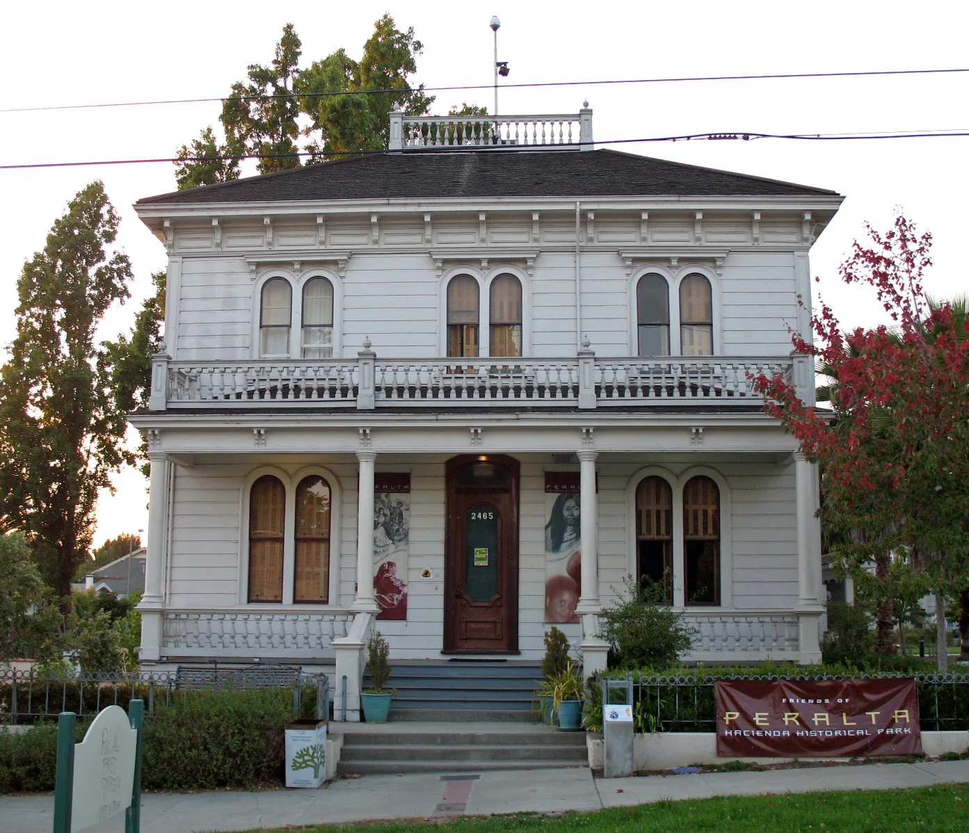
- Peralta Hacienda Historical (Web) – approx. 0.2 mi.
Schools
Bus stops
Streets nearby
Prentiss Street100 ft
Blossom Street500 ft
East 27th StreetEast 27th Street & Fruitvale Avenue, East 27th Street & 26th Avenue, East 27th Street & 25th Avenue
0.1 mi
Fruitvale AvenueFruitvale Avenue & East 23rd Street, Fruitvale Avenue & Montana Street, Fruitvale Avenue & MacArthur Boulevard, Chase, La Farine, Dimond Cafe, Shaan Indian Cuisine, Wayland's Meat, The Saucy Hut, China Gourmet Express, Oaklandish, Napoleon's, All Eyes On Me, Copy USA, Sexy Nails, Fruitvale Smoke and Gift Shop, Rockridge Luggage & Travelware, Hui Yan Fashion, Metro by T-Mobile, The Mailbox, Flavor Brigade, LY-Luck Restaurant, Willows & Pine, Fruitvale Avenue & Lynde Street, Fruitvale Avenue & Brookdale Avenue, Fruitvale Avenue & East 9th Street, Wells Fargo, Soon's Cocktail Lounge, Dimond District, Guadalajara Food Truck, Korner Kitchen and Bar, Fruitvale Avenue & Logan Street, Central Gas, Fruitvale Avenue & East 18th Street, Fruitvale Avenue & East 16th Street, Fruitvale Avenue & Foothill Boulevard, East Bay Laundry, Golden Hours, Fruitvale Dry Cleaners, Stars & Stripes Cafe, Fruitvale Avenue & International Boulevard, Fruitvale Avenue & School Street, Fruitvale Avenue & Castello Street, Fruitvale Avenue & Pleasant Street, Pasteleria La Favorita, La Clinica, Fruitvale Shoe Repair, Los Cocos, Erika's Hair Studio, Fruitvale Shipping Center, El Grullense, Fruitvale Avenue & Blossom Street, El Charro Supermarket
0.1 mi
Logan StreetChristian Temple Church
0.1 mi
Sunset Avenue0.1 mi
Lynde StreetLittle Free Library
0.1 mi
Hyde Street0.2 mi
Atwell Avenue0.2 mi
34th AvenuePeralta Hacienda Historical
0.2 mi
Peroly Court0.2 mi
East 29th Street0.2 mi
East 25th Street0.2 mi
Barry Place0.2 mi
Orchid Street0.2 mi
Hughes Avenue0.2 mi
Bona Street0.2 mi
Coolidge AvenuePatten University Library, Patten Academy, Coolidge Avenue & Hopkins Place, Coolidge Avenue & MacArthur Boulevard, Coolidge Avenue & Madeline Street (Bret Harte Middle School), Coolidge Avenue & Carmel Street, Coolidge Avenue & Alida Street, 4024 Coolidge Avenue, Coolidge Avenue & Morgan Avenue
0.2 mi
Ashbrook Court0.2 mi
Bellaire Place0.3 mi
Galindo StreetFood Mart, La Familia
0.3 mi
East 23rd Street0.3 mi
Brookdale AvenueLucky Three Seven
0.3 mi
27th AvenueLa Barca Market, JingleTown Recording, Prime Time Nutrition
0.3 mi
26th AvenueSausal Creek Outpatient Clinic, International Boulevard & 26th Avenue, Bay Wheels
0.3 mi
Mitchell Street0.3 mi
Evelyn Court0.3 mi
Austin Street0.4 mi
25th AvenueEl Pollo Loco, McDonald's
0.4 mi
Hickory Street0.4 mi
Garden StreetSalvation Army Oakland Garden Center
0.4 mi
24th AvenueCentennial Presbyterian Church
0.4 mi
Grande Vista Place0.4 mi
East 28th Street0.4 mi
East 22nd Street0.4 mi
Grande Vista AvenueTiny Tot Co-Operative Nursery School
0.4 mi
Inyo Avenue0.5 mi
East 26th Street0.5 mi
Buildings nearby
Fruitvale Avenue Pharmacy0.1 mi
Antonio Maria Peralta House0.2 mi
At&t0.3 mi
Cafes nearby
Haste Muerte0.1 mi
Fast food restaurants nearby
Judy's Burger0.1 mi
Pharmacies nearby
Walgreens0.4 mi
Residential areas nearby
Posada de Colores Senior Housing0.3 mi
Restaurants nearby
Pizza Hut350 ft
Retail buildings nearby
Pollinate Farm & Garden0.2 mi
Streams nearby
Sausal Creek0.3 mi
Supermarkets nearby
Mi Tierra Super Mercado0.2 mi
Public transit map Oakland Legend
| Railway | |
| Bus | |
| Streetcar |
Bicycle map Oakland Legend
| Bike path | |
| Bike lane on roadway | |
| Cycling allowed on bus lane | |
| Bicycle street | |
| Open to cyclists | |
| Open to cyclists, good path | |
| Cycling prohibited | |
| Cobblestone |
| Long-distance bike route | (depending on scale) | |
| Long-distance bike route |
Pedestrian map Oakland Legend
| Path |
| Long-distance hiking trail | (depending on scale) | |
| Long-distance hiking trail | ||
| Pedestrians prohibited |