
The Clorox Company in Pleasanton, California
The Clorox Company in Pleasanton is a commercial area, Johnson Drive 4900 (94588). The Clorox Company is also known as Clorox Company. Ⓦ.
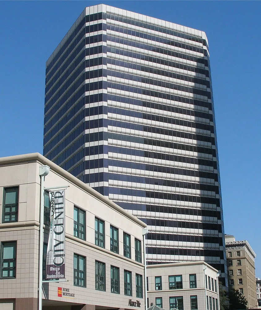
- House Number
- 4900
- Postal Code
- 94588
- Street
- Johnson Drive
- Land Use
- commercial area
- Website
- https://www.thecloroxcompany.com/
Bus stops
Furniture stores
Gas stations
Dentist offices
Supermarkets
Post offices
Cell phone stores
Hotels
Clothing stores
Liquor stores
Car rentals
Restaurants
Streets nearby
Clorox Way450 ft
Gibraltar DriveMy Favorite Dentist, Palnadu Ruchulu, Sri Venkateswara Grocery & Kitcehn, Gibraltar Drive & Willow Road, Gibraltar Drive & Hopyard Road
0.1 mi
Johnson DriveBevMo!, Cycle Gear, Tesla Supercharger—Pleasanton CA, - Johnson Drive, Mattress Firm, Taco Bell
0.2 mi
Franklin Drive0.2 mi
Johnson Court0.2 mi
Tom Burnett Lane0.2 mi
Stoneridge DriveStoneridge Drive & Hopyard Road, Stoneridge Drive & Belleza Drive, Stoneridge Drive & Fallon Drive, Stoneridge Drive & Hacienda Drive, Stoneridge Drive & Willow Road, Stoneridge Drive & Moreno Avenue, Hacienda, Stoneridge Drive & Stoneridge Creek Way, Stoneridge Drive & Santa Rita Road, Stoneridge Drive & Newton Way, Stoneridge Drive & Chabot Drive, Stoneridge Drive & Stone Pointe Way, 85°C, Top Pot, Kura Sushi, Bonchon Chicken, Stoneridge Drive & Franklin Drive
0.3 mi
Owens DriveSherwin-Williams, Sola Salon Studios, Tap Plastics, T-Mobile, Owens Drive & Chabot Drive, Owens Drive & West Las Positas Boulevard, Owens Drive & Rosewood Drive, La-Z-Boy, Owens Drive & Andrews Drive, Owens Drive & Hacienda Drive, Owens Drive & Willow Road
0.3 mi
Allbrook Circle0.3 mi
Carver Court0.4 mi
Alvord Way0.4 mi
Carson Court0.4 mi
Hopyard RoadBill's Cafe, Hopyard Alehouse and Grill, Hopyard Road & Parkside Drive, Edible Arrangements, 4861 Hopyard Road, Alameda County Behavioral Health Services Agency, The Church in Pleasanton, 4837 Hopyard Road, Chick-fil-A, Hopyard Road & Gibraltar Drive, Hopyard Road & West Las Positas Boulevard, Hopyard Road & Stoneridge Drive, 5057 Hopyard Road, Porky's Pizza Palace, Farha Rasheed, Shell, Hopyard Road & Valley Trails Drive, 4393 Hopyard Road
0.4 mi
Ashley Court0.4 mi
Benner Court0.4 mi
Corday Court0.5 mi
Corwin Court0.5 mi
Herrin Court0.5 mi
Banks nearby
Bank of America0.3 mi
Bars nearby
Y'all Come Back Saloon0.3 mi
Beauty salons nearby
Foxy Hair & Nails0.3 mi
Buildings nearby
QES Computers0.3 mi
S&G Carpet0.5 mi
Cafes nearby
Starbucks0.3 mi
Kamurocho0.3 mi
Car washes nearby
Shell0.3 mi
Cell phone stores nearby
Verizon0.4 mi
Clinics nearby
AFC Urgent Care0.3 mi
Construction sites nearby
6455 Owens Drive0.2 mi
Copy shops nearby
FedEx Office0.4 mi
Fast food restaurants nearby
Chick-fil-A0.3 mi
Burger King0.3 mi
Nation's Giant Hamburgers0.3 mi
Gotta Eatta Pita0.3 mi
In-N-Out Burger0.3 mi
Gas stations nearby
Chevron0.2 mi
Hardware stores nearby
The Home Depot0.4 mi
Hotels nearby
BEST WESTERN PLUS Pleasanton Inn0.4 mi
Housewares stores nearby
American Appliance Outlet0.4 mi
Motels nearby
Motel 6 Pleasanton0.2 mi
Office buildings nearby
Abbott0.3 mi
Restaurants nearby
Black Bear Diner0.2 mi
Tommy T's Comedy and Steakhouse0.2 mi
Chili's0.3 mi
Nyonya Cafe0.3 mi
El Molino0.3 mi
Retail areas nearby
Pleasanton Square0.3 mi
School buildings nearby
Platinum Dental Partners0.3 mi
Sporting goods stores nearby
Precor Home Fitness0.4 mi
| Year built | 1913 |
|---|---|
| Country | United States |
| Part of | S&P 500 |
Public transit map Pleasanton Legend
| Railway | |
| Bus | |
| Streetcar |
Bicycle map Pleasanton Legend
| Bike path | |
| Bike lane on roadway | |
| Cycling allowed on bus lane | |
| Bicycle street | |
| Open to cyclists | |
| Open to cyclists, good path | |
| Cycling prohibited | |
| Cobblestone |
| Long-distance bike route | (depending on scale) | |
| Long-distance bike route |
Pedestrian map Pleasanton Legend
| Path |
| Long-distance hiking trail | (depending on scale) | |
| Long-distance hiking trail | ||
| Pedestrians prohibited |