
William Reed Drive in Antioch, California
William Reed Drive in Antioch is a residential street. It runs in a southeast-northwest direction starting from Sycamore Drive and crosses L Street, Cataline Avenue, Campbell Avenue, Creed Avenue, John Gildi Avenue and Newbury Avenue and ends at West Madill Street.
- Road Type
- residential street
- Route
- southeast-northwest
Image
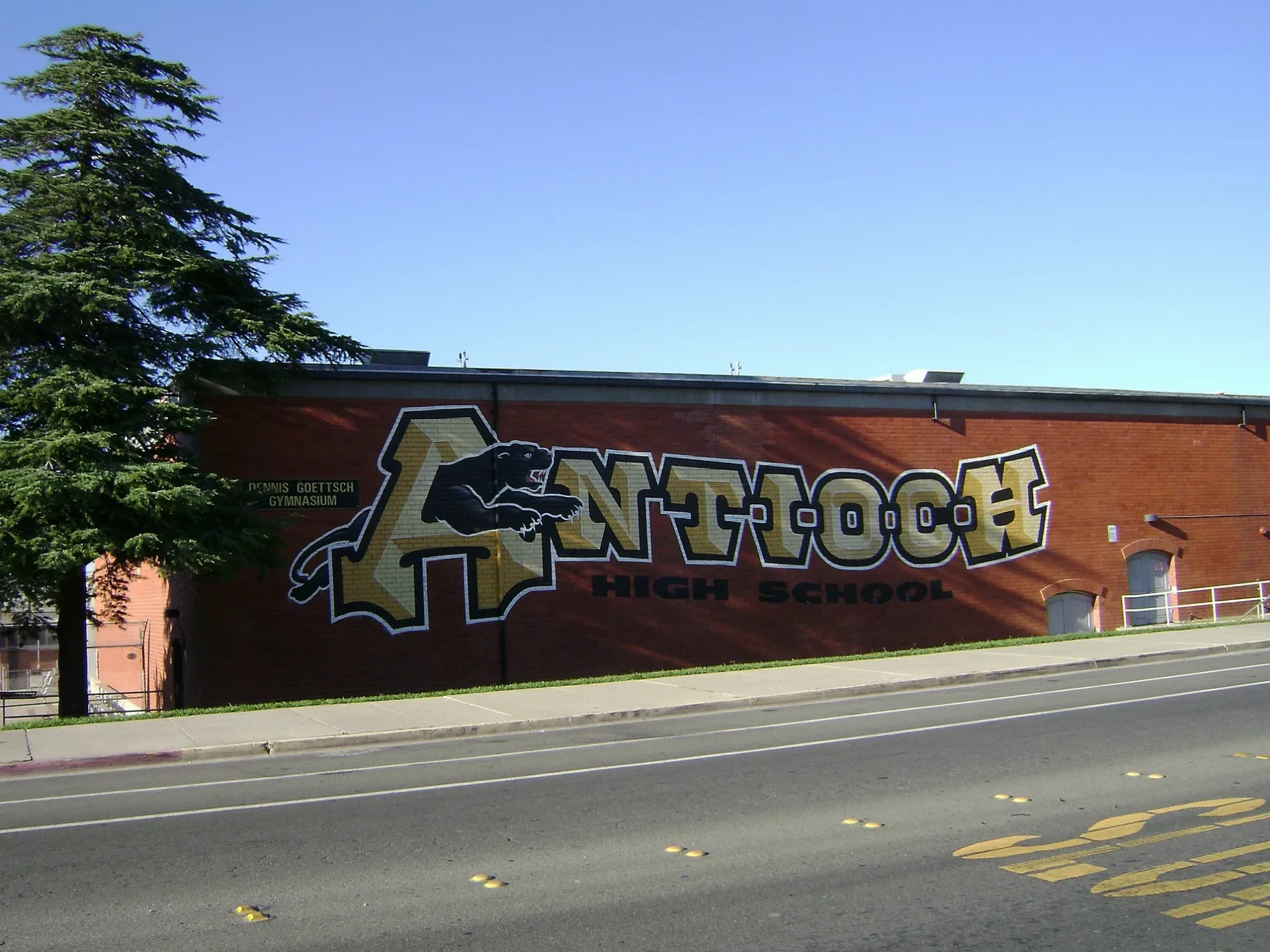
Libraries
Bus stops
- bus lines 387
Streets nearby
Creed Avenue500 ft
John Gildi Avenue0.1 mi
Brisdale Place0.1 mi
West 19th StreetSaint Johns Lutheran Church, Antioch Branch Contra Costa County Library
0.1 mi
Stillwell Circle0.2 mi
Campbell Avenue0.2 mi
West Madill Street0.2 mi
Newbury Avenue0.2 mi
Madill Circle0.2 mi
Cataline Avenue0.2 mi
Lawrence Avenue0.2 mi
Russell Drive0.2 mi
Peppertree Way0.2 mi
L StreetL Street & West 9th Street, L Street & West 5th Street, L Street & William Reed Drive, L Street & West 18th Street, L Street & Claudia Court, L Street & West 3rd Street, L Street & West 2nd Street
0.2 mi
Hawthorne Avenue0.2 mi
West 17th Street0.2 mi
Sycamore DriveSycamore Drive & Lemontree Way, Sycamore Drive & Peppertree Way, Sycamore Drive & Banyan Way, Sycamore Drive & Spanos Street, Speedway, Sycamore Drive & Canal
0.2 mi
G StreetLone Tree Community Church, G Street & West 10th Street, G Street & West 7th Street
0.2 mi
Lemontree Way0.3 mi
Davis Lane0.3 mi
Claudia Court0.3 mi
Peppertree Court0.3 mi
West 16th Street0.3 mi
West 15th Street0.3 mi
Lemontree Court0.3 mi
Antioch Speedway0.3 mi
West 14th Street0.3 mi
Manzanita Way0.4 mi
Mandarin Way0.4 mi
Macaulay Street0.4 mi
Leggett Street0.4 mi
Cook Street0.4 mi
Medanos Street0.4 mi
Klengel Street0.4 mi
West 13th StreetAntioch
0.5 mi
West 11th Street0.5 mi
O Street0.5 mi
West 12th Street0.5 mi
Loma Lane0.5 mi
Diamond Street0.5 mi
West 10th StreetWest 10th Street & B Street, West 10th Street & G Street
0.5 mi
Industrial areas nearby
Antioch Unified School District Maintenance Yard0.2 mi
Railways nearby
UP Tracy Subdivision0.2 mi
Residential areas nearby
Fontana Apartments0.2 mi
Casa Blanca Apartments0.3 mi
Contra Loma0.3 mi
Retail areas nearby
Sycamore Square0.2 mi
School buildings nearby
Beede Auditorium0.1 mi
Stadiums nearby
Eells Stadium0.2 mi
Public transit map Antioch Legend
| Railway | |
| Bus | |
| Streetcar |
Bicycle map Antioch Legend
| Bike path | |
| Bike lane on roadway | |
| Cycling allowed on bus lane | |
| Bicycle street | |
| Open to cyclists | |
| Open to cyclists, good path | |
| Cycling prohibited | |
| Cobblestone |
| Long-distance bike route | (depending on scale) | |
| Long-distance bike route |
Pedestrian map Antioch Legend
| Path |
| Long-distance hiking trail | (depending on scale) | |
| Long-distance hiking trail | ||
| Pedestrians prohibited |