
Brandt Court in Pinole, California
Brandt Court in Pinole is a residential street and it runs in an east-west direction starting from Pinole Valley Road and ends in a cul-de-sac. Brandt Court also exists in Santa Clara County.
- Road Type
- residential street
- Route
- east-west
Image
Cafes
Supermarkets
Bus stops
Beauty salons
Places of worship
Charging stations
Restaurants
Post offices
Streets nearby
Fraser Court550 ft
Downer Street0.1 mi
Dora Court0.1 mi
Tennent AvenueTennent Avenue & Peach Street, ChargePoint
0.1 mi
Plum Street0.1 mi
Ellerhorst Street0.1 mi
Peach Street0.2 mi
Willow Street0.2 mi
Fernandez Avenue0.2 mi
Prune Street0.2 mi
Rafaela Street0.2 mi
Fahey Court0.2 mi
Samuel Street0.2 mi
Pinole Valley RoadMerchanics Bank, Chipotle, Peet's Coffee, Pinole Valley High School, Chevron, Jack in the Box, Subway, Pinole Valley Road & Estates Avenue, Walgreens, 7-Eleven, MOD Pizza, Pinole Valley Road & Henry Avenue, Sprouts Farmers Market, EVgo, Waffle Shop, Arco, Tropical Smoothie Cafe, The Habit Burger Grill, Ellerhorst Elementary School, Pinole Valley Road & Simas Avenue, Happy Sashimi, Pinole Valley Road & Helena Court, Pinole Valley Road & Johanna Court, Pinole Branch Library
0.2 mi
John Street0.2 mi
Pear StreetPinole Post Office, Julie's Nails, Sue's Place
0.2 mi
Francis Drive0.2 mi
Emma Drive0.2 mi
Anne Court0.2 mi
San Pablo Avenue640 San Pablo Avenue, New Deli, San Pablo Avenue & Oak Ridge Road, Harmony Beauty Spa, San Pablo Avenue & Alvarez Avenue, Big Minds Unschool, China House, San Pablo Avenue & John Street, East Bay Coffee Co., Quickly, San Pablo Avenue & Meadow Avenue, San Pablo Avenue & Del Monte Drive, San Pablo Avenue & Belmont Way, San Pablo Avenue & Roble Avenue, Dr Osborne, San Pablo Avenue & Sunnyview Drive, San Pablo Avenue & 4th Avenue, Marathon, San Pablo Avenue & Appian Way, Smythe's Accordion Center, Pinole, San Pablo Avenue & Crestview Drive, San Pablo Avenue & Fern Avenue
0.3 mi
Alice Way0.3 mi
Charles Avenue0.3 mi
Henry Avenue0.3 mi
Robert Court0.3 mi
Scotts Valley0.3 mi
Old Lincoln Highway0.3 mi
Parcel A0.3 mi
Lompico0.4 mi
Felton0.4 mi
Glenwood0.4 mi
Village Parkway0.4 mi
Dunham Court0.5 mi
Hercules Avenue0.5 mi
Bakeries nearby
Bear Claw Bakery & Cafe0.2 mi
Banks nearby
BMO0.2 mi
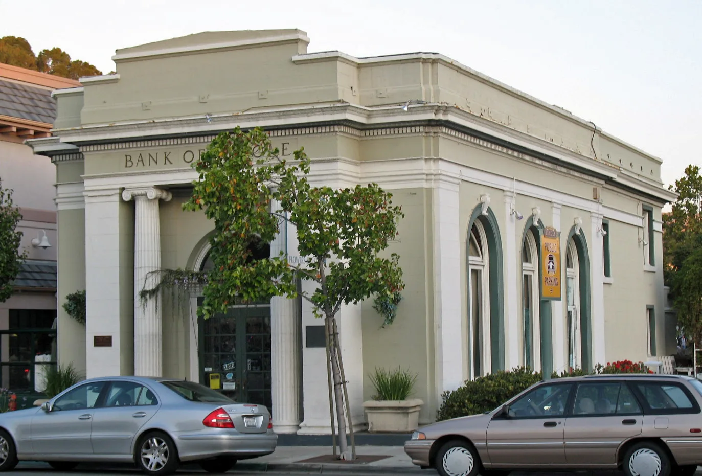
Bank of Pinole0.2 mi
Cafes nearby
Pear Street Bistro0.2 mi
Commercial areas nearby
Park Place0.3 mi
Community centers nearby
St. Joseph's Parish Hall0.2 mi
Convenience stores nearby
Old Pump House0.2 mi
Places of worship nearby
Saint Joseph Roman Catholic Church0.2 mi
Railways nearby
BNSF Stockton Subdivision0.3 mi
Residential areas nearby
Wildwood0.4 mi
Restaurants nearby
King Valley Tea House0.2 mi
Tina's Place0.2 mi
Retail areas nearby
Park View Plaza0.2 mi
Sports fields nearby
Patrick Underwood Memorial Court0.3 mi
Streams nearby
Pinole Creek0.2 mi
Town halls nearby
Pinole City Hall0.2 mi
Public transit map Pinole Legend
| Railway | |
| Bus | |
| Streetcar |
Bicycle map Pinole Legend
| Bike path | |
| Bike lane on roadway | |
| Cycling allowed on bus lane | |
| Bicycle street | |
| Open to cyclists | |
| Open to cyclists, good path | |
| Cycling prohibited | |
| Cobblestone |
| Long-distance bike route | (depending on scale) | |
| Long-distance bike route |
Pedestrian map Pinole Legend
| Path |
| Long-distance hiking trail | (depending on scale) | |
| Long-distance hiking trail | ||
| Pedestrians prohibited |