
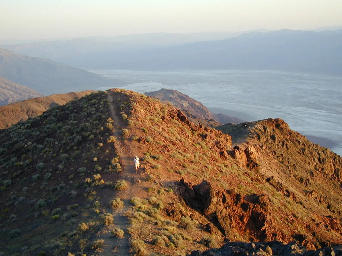
Black Mountains in Inyo County, California
Black Mountains in Inyo County is a mountain range. Ⓦ.
- Nature
- mountain range
Image
Streets nearby
Coffin Mine Road0.3 mi
Furnace View Road1.1 mi
Furnace Mine RoadFurnace
1.2 mi
Dante's View Rest Area Parking2.4 mi
Dantes View RoadDante's View, Dantes Peak Trailhead
2.6 mi
Greenwater / Furnace Connecting Road2.8 mi
Kunze South Spur2.9 mi
Kunze Mine Spur Bypass2.9 mi
Kunze Mine Spur South3.2 mi
Kunze Mine Spur3.3 mi
Greenwater Valley / Furnace Mine Road Connector 23.7 mi
Greenwater / Furnance Connecting RoadGreenwater
3.9 mi
Kunze Road Bypass4.0 mi
Greenwater Valley Road4.1 mi
Greenwater Cemetery Road4.2 mi
Kunze Road4.2 mi
Greenwater Valley / Furnace Mine Road Connector 34.7 mi
Badwater ParkingBadwater Basin, Badwater Basin Trailhead
4.9 mi
Badwater RoadBadwater, Mormon Point View, Mushroom Rock
5.0 mi
Dantes View Trailer Parking5.3 mi
Cemeteries nearby
Greenwater Cemetery4.9 mi
Streams nearby
Copper Canyon3.4 mi
Coffin Canyon4.4 mi
Furnace Creek Wash4.9 mi
Waters nearby
Badwater Basin4.9 mi
| Elevation | 6384 |
|---|---|
| Protected area | Death Valley National Park, Death Valley Wilderness |
| Located in | Inyo County |
| Country | United States |
| Highest point | Funeral Peak |
 Public transit map Inyo County Legend
 | Railway | |
| Bus | |
| Streetcar |
 Bicycle map Inyo County Legend
 | Bike path | |
| Bike lane on roadway | |
| Cycling allowed on bus lane | |
| Bicycle street | |
| Open to cyclists | |
| Open to cyclists, good path | |
| Cycling prohibited | |
| Cobblestone |
| Long-distance bike route | (depending on scale) | |
| Long-distance bike route |
 Pedestrian map Inyo County Legend
 | Path |
| Long-distance hiking trail | (depending on scale) | |
| Long-distance hiking trail | ||
| Pedestrians prohibited |