
Image
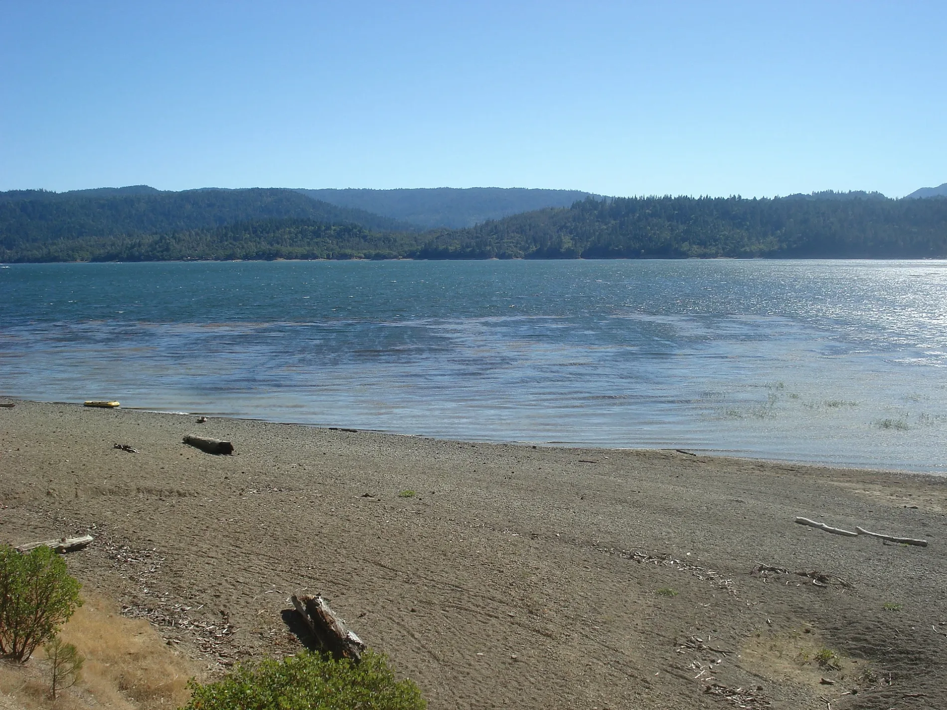
Streets nearby
10 West 54 RoadLocked Gate
0.5 mi
Forest Road 18N170.8 mi
18 North 53 Road1.4 mi
Bear Avenue1.5 mi
Lakeshore TrailLakeshore Trailhead
1.5 mi
18 North 53 Road (Private)1.6 mi
18 North 16 Road1.7 mi
Gravelly Valley Road1.7 mi
Big Valley RoadBig Valley Community Church
1.7 mi
Day Use RoadPine Point Day Use Area
1.8 mi
Rice Fork Road1.9 mi
Simmons Road (Trail)1.9 mi
124th AvenueLocked Gate
1.9 mi
Pines Resort Road2.0 mi
Sunset Campground Road2.0 mi
Forest Road 10W372.0 mi
Sunset Nature Trail2.1 mi
Kapranos RoadLake Pillsbury Resort
2.1 mi
Alternative Trail2.2 mi
Homesite Road2.3 mi
10 West 35 Road (ROAD CLOSED)2.3 mi
10 West 38 RoadLocked Gate, Enterprise
2.4 mi
Scott Dam Road2.5 mi
Crazy Jump Trail2.5 mi
Oak Flat Campground RoadOak Flats Campgrounds
2.5 mi
Moto Trail2.5 mi
Oak Flat Access Trail2.6 mi
Powder House Off Highway Vehicle Trail2.6 mi
Elk Mountain RoadLocked Gate, Locked Gate, Private, Earthen Barrier, Self Registration & Info
2.7 mi
Gravelly Camp RoadNavy Camp Campground
2.7 mi
Forest Route 18N25Earthen Barrier
2.8 mi
18 North 21 Road2.8 mi
18 North 74 Road2.8 mi
18 N 53 A Road2.9 mi
18 North 26 RoadSoda Creek General Store, Forestry Info
2.9 mi
Pillsbury-Indian Dick RoadForestry Service Info Kiosk
2.9 mi
Thistle Glade Road2.9 mi
Simmons RoadSoda Creek
3.0 mi
Smokehouse Creek Road3.1 mi
10W43 (Closed??)3.2 mi
Powder House 4x4 Trail3.2 mi
20 North 58 Road3.4 mi
Nature nearby
Log Valley2.6 mi
Campgrounds nearby
Sunset Campground2.0 mi
Dams nearby
Scott Dam1.8 mi
Streams nearby
Habematolel Creek2.6 mi
Thistle Glade Creek3.0 mi
Valleys nearby
Habematolel Valley2.7 mi
Other nearby
Gravelly Valley Airport3.3 mi
| Elevation | 554 m |
|---|---|
| Protected area | Mendocino National Forest |
| Located in | California |
| Country | United States |
 Public transit map Lake County Legend
| Railway | |
| Bus | |
| Streetcar |
 Bicycle map Lake County Legend
| Bike path | |
| Bike lane on roadway | |
| Cycling allowed on bus lane | |
| Bicycle street | |
| Open to cyclists | |
| Open to cyclists, good path | |
| Cycling prohibited | |
| Cobblestone |
| Long-distance bike route | (depending on scale) | |
| Long-distance bike route |
 Pedestrian map Lake County Legend
| Path |
| Long-distance hiking trail | (depending on scale) | |
| Long-distance hiking trail | ||
| Pedestrians prohibited |