
Inspiration Point Road in Susanville, California
Inspiration Point Road in Susanville is a residential street and it runs in a northeast-southwest direction starting from Harris Drive and ends in a cul-de-sac.
- Road Type
- residential street
- Route
- northeast-southwest
Image
Sporting goods stores
Libraries
Post offices
Stationery stores
Juweliere
Banks
Motels
Places of worship
Courthouses
Bookstores
Dry cleaners
Gas stations
Restaurants
Community centers
Town halls
Hair salons
Shoe stores
Thrift stores
Galleries
Museums
- Lassen Historical Museum (Web) at North Weatherlow Street 115 (96130) – approx. 0.5 mi.
Streets nearby
Quarry Street0.1 mi
Cook Street0.1 mi
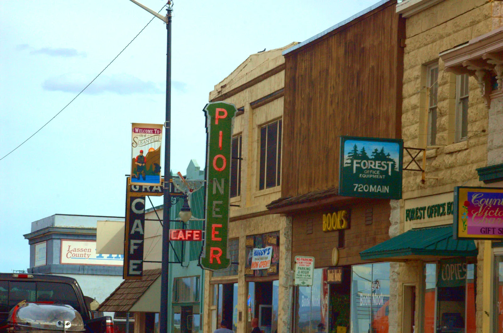
Main StreetKopper Kettle Cafe, Courthouse Cafe, Crossroads Ministries, Mobil 1 Lube Express, Dirty Joe's Car Wash, Les Schwab Tire Center, Joe's, Susanville Paint Center, Stonehouse Eatery, Susanville Transmision, T&A Cocktail Lounge & Club, Micks Big Bite Cafe, Milwood Florist, Haircuts by Brenda, Ken's Repair Services, Jackson's Service Center, Susanville Police Department, Little Caesars, Round Table Pizza, Cheaper Cigarettes, Verizon, Main Street Lube, Sinclair, T-Mobile, Calvary Chapel of Susanville, Travel Inn, Susanville Beacon, Napa Auto / Susanville Market, Lassen County Chamber of Commerce, Sears Hometown Store, Sierra Jewelry Company, Lassen Ale Works, Forest Office Supplies, Beck's Shoes, Hair Hunters, Uptown Uniforms, Elegant Iris & Men's Den, Honey Lake Firearms, Margie's Book Nook, Country Cleaners
0.2 mi
North Pine Street0.2 mi
Harris Drive0.2 mi
South Pine StreetSusanville Elks Lodge
0.2 mi
South Roop Street0.2 mi
View Drive0.2 mi
Burma Road0.2 mi
Jeffrey Lane0.2 mi
Miller Road0.2 mi
Hillcrest Road0.2 mi
Court Street0.3 mi
Long Alley0.3 mi
Cottage StreetLassen County Arts Council, Susanville United Methodist Church
0.3 mi
North Lassen StreetSusanville City Hall
0.3 mi
Hill Street0.3 mi
Mill StreetLassen County Historical Courthouse, Lassen County Free Library, Lassen Missionary Baptish Church
0.3 mi
Nevada StreetSacred Heart Catholic Church, Susanville Post Office
0.3 mi
Lovell Alley0.3 mi
Maple Street0.3 mi
Wood Duck Court0.3 mi
North Gay StreetFirst Baptist Church
0.3 mi
Prattville Road0.3 mi
Dillon Court0.4 mi
Bizz Johnson TrailDevils Corral Trailhead, Goumaz Trailhead, Lasco, Mason Station, Mason Station Trailhead
0.4 mi
South Gay StreetNU2U Thrift Store
0.4 mi
Brashear Street0.4 mi
South Union Street0.4 mi
North Union StreetU.S. Bank
0.4 mi
Stock Trail0.4 mi
Hobo Camp Road0.4 mi
Cherry TerraceCherry Ter. & Glenn Dr.
0.4 mi
South Alley Street0.4 mi
Maple Court0.4 mi
Willow Street0.4 mi
Carroll Street0.5 mi
Richmond RoadThe Church of Jesus Christ of Latter-day Saints, Diamond View Middle School, Morning Glory, Calvary Chapel of Susanville
0.5 mi
South AlleyRed Hut Pizza, Highland Baptist Church
0.5 mi
South Lassen Street0.5 mi
North Roop Street0.5 mi
South Weatherlow Street0.5 mi
Glenn Drive0.5 mi
Maidu Lane0.6 mi
Cemeteries nearby
Susanville Cemetery0.3 mi
Movie theaters nearby
Uptown Cinemas0.1 mi
Sierra Theater0.4 mi
Parks nearby
Pancera Plaza0.3 mi
Streams nearby
Piute Creek0.4 mi
Public transit map Susanville Legend
| Railway | |
| Bus | |
| Streetcar |
Bicycle map Susanville Legend
| Bike path | |
| Bike lane on roadway | |
| Cycling allowed on bus lane | |
| Bicycle street | |
| Open to cyclists | |
| Open to cyclists, good path | |
| Cycling prohibited | |
| Cobblestone |
| Long-distance bike route | (depending on scale) | |
| Long-distance bike route |
Pedestrian map Susanville Legend
| Path |
| Long-distance hiking trail | (depending on scale) | |
| Long-distance hiking trail | ||
| Pedestrians prohibited |