
Image
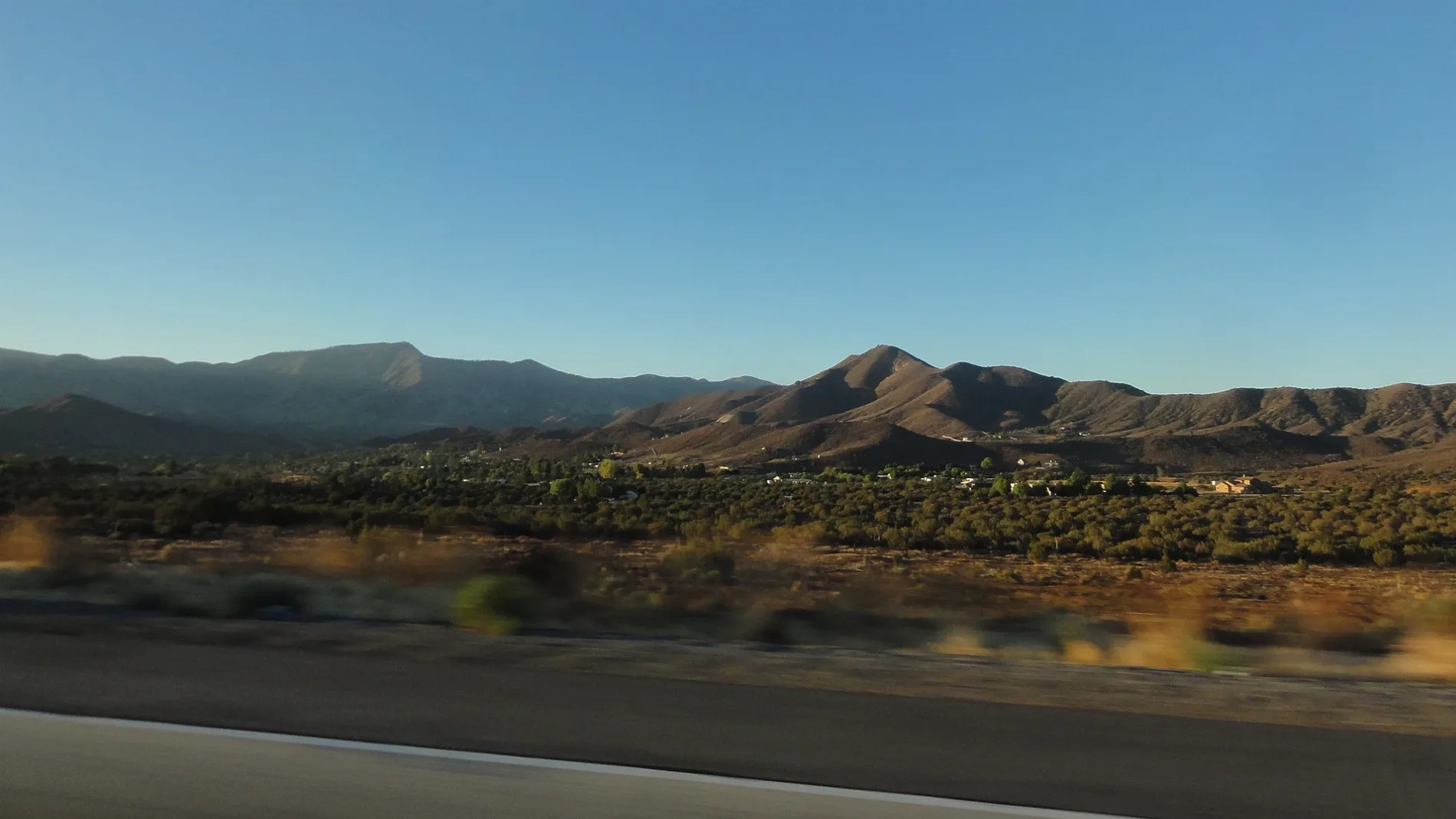
Streets nearby
Sierra HighwayShell Shop, Miso Sushi, Crown Valley Pharmacy, Crazy Otto's Diner, The Oaks, Harold, White Heather, Alpine, Los Angeles County Fire Department Station #80
0.2 mi
Antelope Woods Road0.3 mi
Sourdough Road0.4 mi
Allmers Street0.4 mi
Cedral Street0.4 mi
Kalman Street0.5 mi
Acklins Avenue0.6 mi
Clanfield Street0.6 mi
41st Street West0.6 mi
William Trail0.6 mi
Lariat0.6 mi
Caslam Avenue0.6 mi
Banson Street0.6 mi
42nd Street West0.6 mi
Poppy Road0.7 mi
Silver Spur Lane0.7 mi
Hypoteneuse Road0.7 mi
Dorama Avenue0.7 mi
San Ysidro Lane0.8 mi
West Charter Glen Trail0.8 mi
Spanish Bit Drive0.8 mi
Aliso Street0.8 mi
Martingale Lane0.9 mi
Roger Road0.9 mi
Brinville Road0.9 mi
Canter Lane0.9 mi
Antelope Valley FreewayLamont Odett Vista Point
0.9 mi
Liberty Way0.9 mi
Backacres Road0.9 mi
Rancho Americana Place1.0 mi
Bandell Street1.0 mi
Crown Valley RoadHigh Desert School, Shell
1.0 mi
Governor Mine Road1.0 mi
West Martinez Road1.0 mi
Sache Street1.0 mi
Weststar Road1.1 mi
West Adams Street1.2 mi
Fairlane Road1.2 mi
Madler Street1.2 mi
Crossbow Road1.2 mi
Cemeteries nearby
Acton Community Cemetery1.0 mi
Convenience stores nearby
ampm0.3 mi
Fast food restaurants nearby
Jack in the Box0.2 mi
McDonald's0.3 mi
Fire stations nearby
Acton Work Center Fire Station0.3 mi
Libraries nearby
Acton Agua Dulce Library0.4 mi
Pet stores nearby
Country Club Feed & Supply0.3 mi
Residential areas nearby
Sierra View Apartments0.2 mi
Streams nearby
Acton Creek1.0 mi
| Area | 101.7 km² |
|---|---|
| Elevation | 2710 |
| Located in | Los Angeles County |
| Postal code | 93510 |
| Country | United States |
| Population | 7431 |
| Official name | Acton |
 Public transit map Los Angeles County Legend
| Railway | |
| Bus | |
| Streetcar |
 Bicycle map Los Angeles County Legend
| Bike path | |
| Bike lane on roadway | |
| Cycling allowed on bus lane | |
| Bicycle street | |
| Open to cyclists | |
| Open to cyclists, good path | |
| Cycling prohibited | |
| Cobblestone |
| Long-distance bike route | (depending on scale) | |
| Long-distance bike route |
 Pedestrian map Los Angeles County Legend
| Path |
| Long-distance hiking trail | (depending on scale) | |
| Long-distance hiking trail | ||
| Pedestrians prohibited |