
South First Street in Burbank, California
South First Street in Burbank is a five-lane, asphalted, lit main road. The street has sidewalks. It runs in a southeast-northwest direction starting from North First Street and crosses East Olive Avenue, Alley n/o Angeleno Avenue, Angeleno Avenue and East Angeleno Avenue and ends at Ikea Way. The nearest stop is First & Olive. The bus lines 92, 154, 164, 165, 294 and 296 serve this stop. South First Street also exists in Santa Clara County.
- Road Type
- main road
- Lanes
- 5
- Route
- southeast-northwest
Image
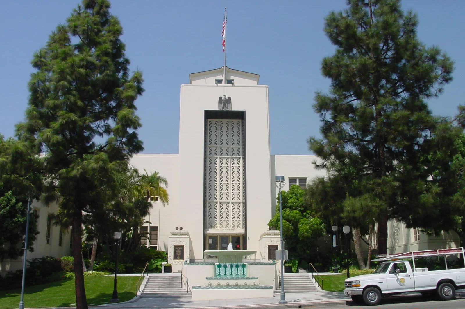
Bus stops
- bus lines 92, 154, 164, 165, 294, 296
Streets nearby
North Bonnywood Place200 ft
Alley n/o Angeleno Avenue300 ft
Angeleno AvenueBJ's
350 ft
Olive AvenueFocus Room Cafe
350 ft
Alley w/o San Fernando RoadGranville, Season Thai Cuisine
550 ft
East Orange Grove AvenueAmeci Pizza, Don Cuco, Wood Ranch, Burbank Fire Department, Burbank Fire Station 11, CA Finance Group, Compton'sShoe Repair
0.1 mi
Golden State FreewayCP Burbank Junction
0.1 mi
North Front StreetDowntown Burbank Station, Bay 9, Bay 3, Bay 4, Bay 5, Bay 6, Bay 7, Bay 8, CP Olive, BikeStop, Downtown Burbank
0.1 mi
East Tujunga AvenueICON Collective, Edmond Melikterminas MD
0.1 mi
West Olive AvenueDowntown Burbank Station, Olive / Virginia (Izay Park), Olive / Alameda, Olive / Reese, Olive / Verdugo / Sparks, Olive / Keystone, The French Rooster, Olive / Victory, Subway, Frank's Steak House, Olive / Lake, Angel Wings Urgent Care, G&M Oil Company #75, Eurozone, Ribs USA, Village Liquor & Market, Katz' Deli, Big O's, Art of Moulding, Olive Nails, Tony's Deli, Frontier Wok, Olive / Parish, Whole Foods Market, American Legion Hall, Karen Pharmacy
0.1 mi
South Front Street0.2 mi
Olive Avenue Metro LotDowntown Burbank Station, Downtown Burbank
0.2 mi
Alley n/o Orange Grove AvenueAikan Sushi, Kopan Ramen, Aria Meat & BBQ, GetYoked, The UPS Store
0.2 mi
Alley n/o Olive AvenueBurbank City Hall, Olivia Restaurant and Event Venue, Burbank Historical Museum, Wild Cavery
0.2 mi
Burbank Channel Bike PathVictory & Allen
0.2 mi
South San Fernando BoulevardSan Fernando & Alameda, San Fernando & Providencia, Harbor Freight Tools, San Fernando & Santa Anita, Inkwell Tavern, Starbucks, Make-Up Designery, Wokcano, The Ciderworks @Story Tavern, Story Tavern, Gyu-Kaku, European Wax Center, BMO
0.2 mi
Ikea WayThe Bar, Ikea & Angeleno, Ikea & Verdugo
0.2 mi
East Olive AvenueBurbank County Courts Building, Olive & Glenoaks, G & M Food Mart, Bastet Cat Hospital, Bank of America, Olive & San Fernando, Andy's Pet Grooming and Supplies, ChargePoint, Armenta's Barbershop, The Carving Board, Kokoroll Cafe, Village Liquor, FedEx Office, Wells Fargo, Bellarmine-Jefferson High School, First Presbyterian Church of Burbank, Dr. David Burbank DDS
0.2 mi
East Angeleno AvenueStory City Church, Association Of Kenpo Martial Artists, All Smiles Dental Group, First Christian Church, Food Share Box, The Burbank Cafe, Burbank
0.3 mi
Alley s/o Olive Avenue0.3 mi
East Verdugo AvenueVerdugo & 3rd, Burbank Hair Studio, Ballerina Dancewear, Verdugo & Ikea
0.3 mi
Alley w/o Glenoaks BoulevardLana Thai Spa, Bethany United Presbyterian Church
0.3 mi
West Verdugo AvenueBurbank Cleaners, Linh's House of Barbering and Beauty, Violet Cactus, Fashion Nails, Coin-op Laundry, New Buenos Aires Bakery & Cafe, The Body Sculpt LA, Elite Lash And Brow Academy, Snip Barber Shop, Five Star Massage, Sushi Dake, Hair Elements, Nailtiful, Urbane Cafe, Mend Urgent Care
0.3 mi
South Flower StreetFlower & Alameda, Flower & Verdugo
0.3 mi
Alley e/o Varney Street0.3 mi
Alley e/o San Fernando RoadClassic Car Wash, The Stage Cafe
0.3 mi
Bonnywood Place0.4 mi
Apartment buildings nearby
Verdugo Tower0.2 mi
Wesley Tower0.2 mi
Burbank Senior Artists Colony0.2 mi
Buildings nearby
Aramark400 ft
Commercial buildings nearby
Cusumano Real Estate150 ft
Universal City Studios Credit Union500 ft
Medical Arts0.2 mi
Deluxe0.2 mi
Event venues nearby
De Luxe Banquet Hall0.1 mi
Hotels nearby
Hotel Burbank550 ft
Residence Inn0.2 mi
Hilton Garden Inn0.2 mi
Springhill Suites Burbank Downtown0.3 mi
Post offices nearby
Burbank Post Office Downtown350 ft
Public buildings nearby
Hanhai Civic Plaza0.2 mi
County Courts, Burbank0.3 mi
Restaurants nearby
Black Angus0.1 mi
Islands0.1 mi
Kabuki0.1 mi
Cantina Urban Kalaveras0.2 mi
Retail buildings nearby
1480.2 mi
Social facilities nearby
Boys & Girls Club0.3 mi
Public transit map Burbank Legend
| Railway | |
| Bus | |
| Streetcar |
Bicycle map Burbank Legend
| Bike path | |
| Bike lane on roadway | |
| Cycling allowed on bus lane | |
| Bicycle street | |
| Open to cyclists | |
| Open to cyclists, good path | |
| Cycling prohibited | |
| Cobblestone |
| Long-distance bike route | (depending on scale) | |
| Long-distance bike route |
Pedestrian map Burbank Legend
| Path |
| Long-distance hiking trail | (depending on scale) | |
| Long-distance hiking trail | ||
| Pedestrians prohibited |