
Arco in Carson, California
Arco in Carson is a two-lane, asphalted service road. It runs in a north-south direction starting from East 223rd Street. Arco also exists in Lakewood, Lancaster, Long Beach, Palmdale and Los Angeles.
- Road Type
- service road
- Lanes
- 2
- Route
- north-south
Image
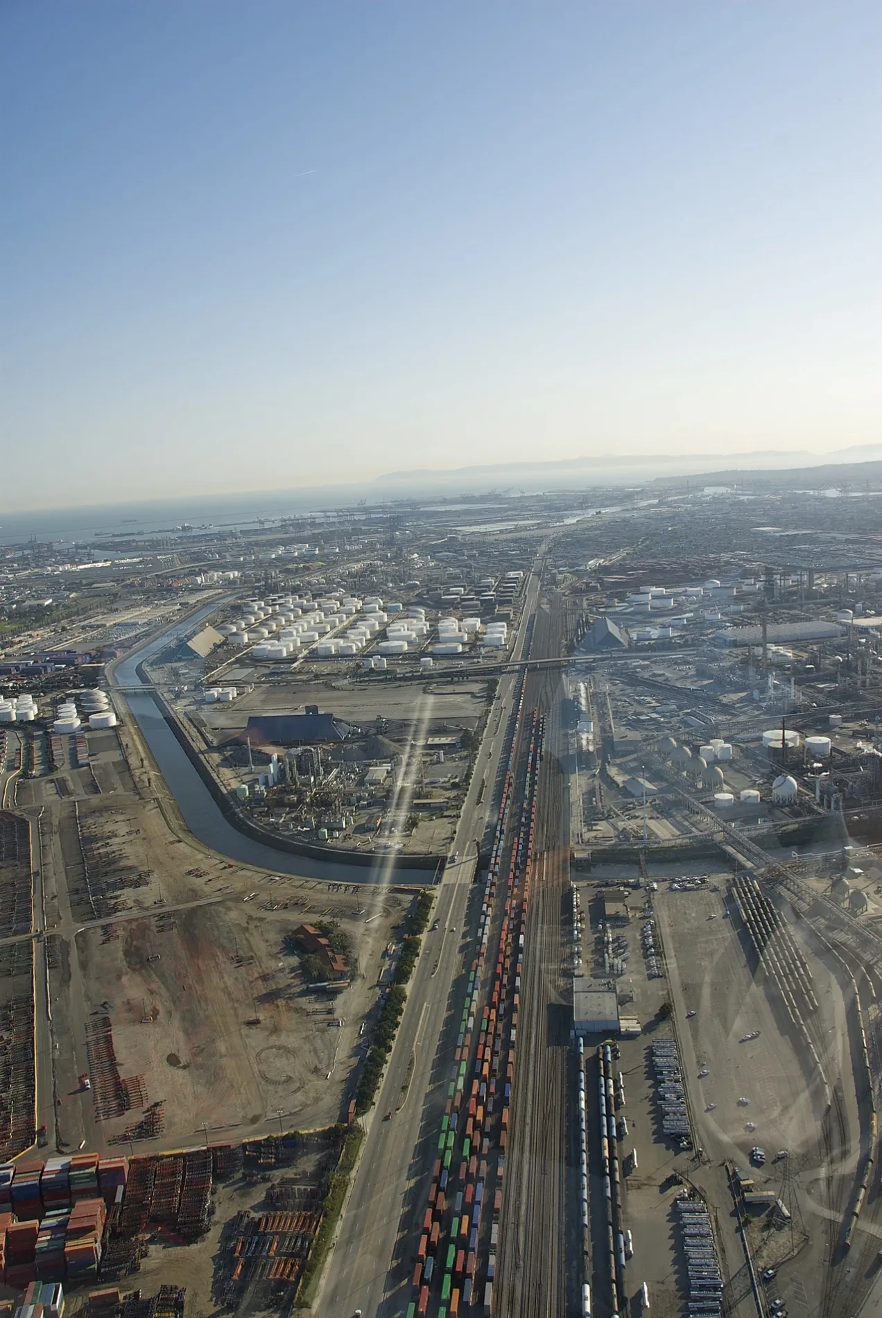
Fire stations
Fast food restaurants
Gas stations
Auto repair shops
Bus stops
Car dealerships
Places of worship
Tourist information centers
Money transfer services
Streets nearby
South Alameda StreetElftman, Watson
0.2 mi
South Westward Avenue0.2 mi
East 220th StreetLincoln Village, East West Bank, La Von Skin Care, Sriracha Thai Restaurant, Giant Cleaners, Salon Image
0.3 mi
Arnold Center Road0.3 mi
West Wardlow Road0.4 mi
Hesperian Avenue0.4 mi
South Salmon Avenue0.4 mi
East 220th Place0.4 mi
East 219th Place0.5 mi
East 219th Street0.5 mi
East 223rd StreetCarson Hope Chapel Foursquare Church, Bangle, Cruise America, Los Angeles County Fire Department Station #127, Win Chevrolet, Win Hyundai Carson
0.5 mi
River AvenueVillages At Cabrillo
0.6 mi
Wilmington AvenueShell
0.6 mi
East 221st StreetKeystone
0.6 mi
South McHelen AvenueMcHelen & 221st, McHelen & 220th, McHelen & 219th, McHelen & Wardlow
0.6 mi
East 218th StreetJamba
0.6 mi
East Carson StreetRoad to the Sea (Winding Road), El Abrazo (Embrace), Fifteen, African Market Women, GREENDOOR Powered by Intelligentsia, The Gateway at City Centre, Miracle-Ear, 3PL Global, South Bay Abundant Life Church, Carson & Evonda, Carson & Harbor View, E Money Express, Carson City Hall, Thai Original BBQ, The UPS Store, Hiccups, Churroholic, The Crab Shack, Winchell's Donut House, Flying Chopstix, 76, Jack in the Box, Holé Molé, IHOP
0.6 mi
South Embassy Avenue0.7 mi
South Bataan AvenueBataan & Carson
0.7 mi
Webster Avenue0.7 mi
South Evonda Avenue0.7 mi
West Cameron Street0.7 mi
West Lincoln Street0.7 mi
West Arlington Street0.7 mi
East Adams StreetDominguez United Methodist Church
0.7 mi
Pacific Drive0.8 mi
East 221st Place0.8 mi
South Tanya Avenue0.8 mi
221st Street0.8 mi
East Washington Street0.8 mi
Beach Street0.8 mi
Seabright AvenueLong Beach Japanese Culture Center
0.8 mi
Palm0.8 mi
Schooner0.8 mi
Coral Street0.8 mi
Sunset Drive0.8 mi
Harbor Street0.9 mi
Dolphin Drive0.9 mi
Shops nearby
Cruise America RV Rental and Sales350 ft
Buildings nearby
Dolores Locomotive Maintenance Facility0.3 mi
Car dealerships nearby
Hyundai Carson0.2 mi
Commercial areas nearby
Watson Business Center0.5 mi
Watson Corporate Center0.6 mi
Commercial buildings nearby
Cruise America RV450 ft
Covered areas nearby
Hyundai Service0.1 mi
Railway areas nearby
Intermodal Container Transfer Facility (ICTF)0.9 mi
Railways nearby
Alameda Corridor0.6 mi
Alameda Corridor Subdivision0.7 mi
UP San Pedro Subdivision0.8 mi
 Public transit map Carson Legend
| Railway | |
| Bus | |
| Streetcar |
 Bicycle map Carson Legend
| Bike path | |
| Bike lane on roadway | |
| Cycling allowed on bus lane | |
| Bicycle street | |
| Open to cyclists | |
| Open to cyclists, good path | |
| Cycling prohibited | |
| Cobblestone |
| Long-distance bike route | (depending on scale) | |
| Long-distance bike route |
 Pedestrian map Carson Legend
| Path |
| Long-distance hiking trail | (depending on scale) | |
| Long-distance hiking trail | ||
| Pedestrians prohibited |