
East Avenue in Burbank, California
East Avenue in Burbank is a residential street and runs in an east-west direction starting from North San Fernando Boulevard and ends at Scott Road. Nearby you can find a medical supply store, a dry cleaner, a hair salon and a florist. The nearest bus stop is San Fernando/Grismer (about 200 m away). East Avenue also exists in Humboldt County, Napa County, San Joaquin County, Kern County and Alameda County.
- Road Type
- residential street
- Route
- east-west
Image
Medical supply stores
Hair salons
Streets nearby
Alley w/o San Fernando BoulevardMiracle Bakery, Burbank Dry Cleaners, Sun Moon Garden, Roy's Liquor
250 ft
North San Fernando BoulevardMuller's Burbank Mercedes, San Fernando/Grismer, Exxon, The Legacy Barbership, Bob's Discount Furniture, San Fernando/Burbank, IHOP, Wingstop, Favoritea Cafe, Blooming Nail Bar, All-Inclusive Community Health Clinic, Pak and Ship All, ABC Dental, Taco Bell, Supercuts, San Fernando/Delaware, Exotic Thai, Quick Cuts, TK Cafe, Chaba, Rex Cleaners, Dent X, San Fernando/Amherst, Burbank Airport–North, San Fernando/Hollywood, Woody's Screens Center, It's Boba Time, Sweetie's Candy, Republik Coffee, Finney's Crafthouse, Ike's Love and Sandwiches, Guisados, T-Mobile, Dunkin', Pokitomic, Urban Press Winery & Restaurant, Urban Outfitters, The Coffee Bean, AT&T, Starbucks, Barnes & Noble, Mama Hong's Vietnamese Kitchen, Terrace, Universal City Studios Credit Union, Ra Organic Spa, Richard's Hair Salon, Fantasia Bar, Purpose LA Men's Grooming Cave, Knight Greek Mediterranean, India's Tandoori, Toro Sushi & Poke, Boba Loca, Moana Hawaiian BBQ, Monji Optometry, Shake Shack, Smashed, LA Currency, Spectrum, Artelice Patisserie, Cafe Grano, Wells Fargo, Tonir Cafe, CP Hollywood
450 ft
Broadway550 ft
Alley w/o Glenoaks BoulevardBethany United Presbyterian Church, Lana Thai Spa
0.1 mi
Alley e/o Leland Way0.1 mi
Alley n/o Leland Way0.1 mi
Amherst DriveSan Fernando/Amherst, First Church of Christ Scientist
0.2 mi
Alley n/o Bethany Road0.2 mi
Rogers Place0.2 mi
North Glenoaks BoulevardAleppo Kitchen, Glenoaks / Tulare, Glenoaks / Orchard, Glenoaks / Winona, BWP EV Charge 2116 Glenoaks, Western Diocese of the Armenian Church of North America, Glenoaks / Cohasset, Glenoaks / Buena Vista, Alta Dena Express Bakery, Glenoaks / Bethany, Glenoaks / Andover, Glenoaks / Fairmount, Glenoaks / Magnolia, Oriental Orchid, Valenciaga, Studio Nail, Gaby's Hair Studio, Glenoaks / Scott, First Congregational Church, Glenoaks / Cypress, ChargePoint, Gallery Nails & Spa, Flawless Skin Center, Thirst Quencher Liquor, Hair By Roxy, Universal Classic Toys, Coral Path Designs, Cam Photo & Imaging, Rock Star Dance Fitness
0.2 mi
Bethany RoadNiko Niko, Ubatuba Acai, Full House Smoke Shop, Rose Nails, Los Compadres Taqueria
0.2 mi
North Victory PlaceBus 94, Catherines, Starbucks, Empire Dental Group and Orthodontics, Jamba, Nothing Bundt Cakes, GNC, Hook Burger, Krispy Kreme, Panda Express
0.2 mi
Scott RoadSprouts Farmers Market, CVS Pharmacy, Mann School, Saint Francis Xavier School
0.2 mi
Grismer Avenue0.2 mi
Leland Way0.3 mi
Keeler StreetStarbucks
0.3 mi
Alley n/o Cornell Drive0.3 mi
Andover Drive0.3 mi
North 3rd StreetBurbank Police Deptartment, The Guardians, Rotary International Clock, Burbank Evening School, Burbank High School, First Assembly of God Church, FlixBus Burbank
0.3 mi
Cornell Drive0.3 mi
Alley e/o Third Street0.3 mi
Delaware RoadNew Town Buffet
0.4 mi
Peyton Avenue0.4 mi
Dartmouth Road0.4 mi
Tufts Avenue0.4 mi
University Avenue0.4 mi
Apartment buildings nearby
Bartona Builders0.4 mi
Car washes nearby
Burbank Express Car Wash350 ft
Clinics nearby
DaVita Dialysis0.3 mi
Commercial buildings nearby
Schafer Electric350 ft
Markey Electric and Solar0.1 mi
Western Dental and Orthodontics0.3 mi
Community centers nearby
McCambridge Recreation Center0.2 mi
Fast food restaurants nearby
Carl's Jr.0.2 mi
Original Tommy's0.2 mi
Yoshinoya0.2 mi
McDonald's0.3 mi
Popeyes0.3 mi
Gas stations nearby
Shell0.1 mi
Liquor stores nearby
The Landing500 ft
Parks nearby
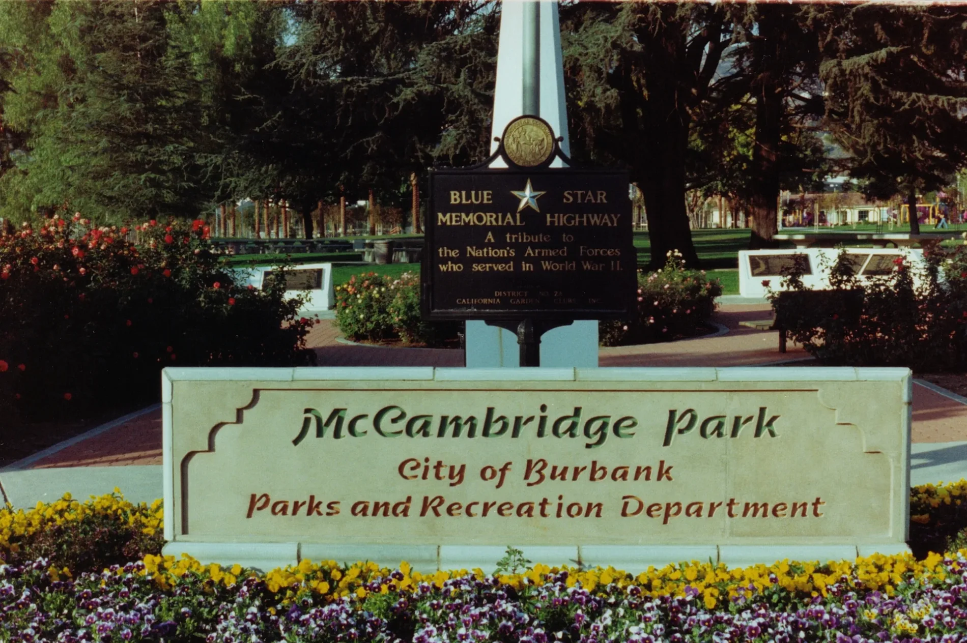
McCambridge Park400 ft
Railways nearby
Metrolink Valley Subdivision0.3 mi
Residential buildings nearby
Town Center Apartments0.2 mi
Restaurants nearby
Poke Loulu50 ft
Shakey's0.2 mi
Sports centers nearby
Burbank Tennis Center0.1 mi
Streams nearby
Burbank West Channel0.3 mi
Supermarkets nearby
Walmart Supercenter0.2 mi
Ralphs0.3 mi
Public transit map Burbank Legend
| Railway | |
| Bus | |
| Streetcar |
Bicycle map Burbank Legend
| Bike path | |
| Bike lane on roadway | |
| Cycling allowed on bus lane | |
| Bicycle street | |
| Open to cyclists | |
| Open to cyclists, good path | |
| Cycling prohibited | |
| Cobblestone |
| Long-distance bike route | (depending on scale) | |
| Long-distance bike route |
Pedestrian map Burbank Legend
| Path |
| Long-distance hiking trail | (depending on scale) | |
| Long-distance hiking trail | ||
| Pedestrians prohibited |