
East Wilson Avenue in Glendale, California
East Wilson Avenue in Glendale is a two-lane, asphalted local road. It runs in an east-west direction starting from Wilson Avenue and crosses North Brand Boulevard, North Artsakh Avenue, North Maryland Avenue, North Louise Street, North Kenwood Street, North Jackson Street, North Isabel Street, North Glendale Avenue, North Everett Street, North Cedar Street and North Belmont Street. It ends in a cul-de-sac. This street is part of the Hiking trail "California Mission Trail - stage 04 Mission San Gabriel Arcangel to Mission San Fernando, Rey de Espana". Nearby you can find among others 2 banks, a place of worship, a stationery store and a supermarket. The nearest stop is Glendale Park and Ride. The bus line 549 stops here. East Wilson Avenue also exists in Tulare County and Kern County.
- Road Type
- local road
- Speed Limit
- 25 mph
- Lanes
- 2
- Route
- east-west
Image
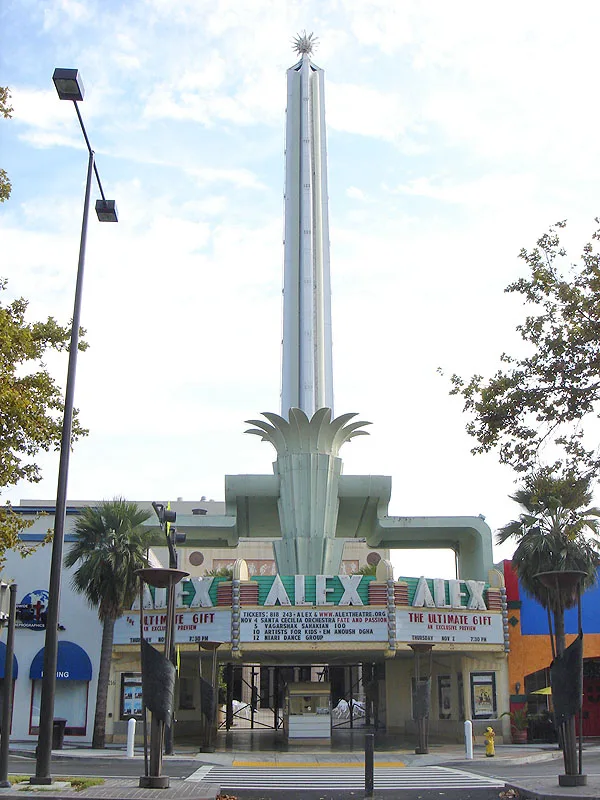
Parking entrances
Banks
Stationery stores
Streets nearby
North Kenwood StreetApartment buildings nearby
The Otto Gruber HouseBanks nearby
Glendale Federal Credit UnionBowling alleys nearby
Back Alley BowlingBuildings nearby
Glendale Masonic CenterCafes nearby
Bohemian House of GlendaleChurches nearby
First United Methodist Church of GlendaleCommercial buildings nearby
Hollywood Production CenterConvenience stores nearby
76Fast food restaurants nearby
ChipotleHotels nearby
Residence InnParking lots nearby
Glendale Police Department ParkingPlaces of worship nearby
First Baptist ChurchPolice stations nearby
Glendale Police DepartmentPost offices nearby
Glendale Post OfficePublic buildings nearby
Glendale Unified School District Administration CenterResidential areas nearby
Kenwood VillageRestaurants nearby
ShirazShopping malls nearby
The ExchangeSocial facilities nearby
Casa de la PalomaSports centers nearby
YMCATown halls nearby
Glendale City HallVariety stores nearby
Dollar TreeOther nearby
Glendale Police Helipad| Railway | |
| Bus | |
| Streetcar |
| Bike path | |
| Bike lane on roadway | |
| Cycling allowed on bus lane | |
| Bicycle street | |
| Open to cyclists | |
| Open to cyclists, good path | |
| Cycling prohibited | |
| Cobblestone |
| Long-distance bike route | (depending on scale) | |
| Long-distance bike route |
| Path |
| Long-distance hiking trail | (depending on scale) | |
| Long-distance hiking trail | ||
| Pedestrians prohibited |