
Montebello, California
Montebello is located in Los Angeles County. About 62,640 people live here (as of 2020). Between 2010 and 2020, the population grew from 62,500 to 62,640. The region is at 61 meters above sea level. The area covers about 21.7 square kilometers. There are about 1.356 streets in Montebello. The ZIP codes are 90640. The dialing code is 323. Montebello is city in Los Angeles County, California, United States. Among other things, Montebello has public Transport, restaurants, cafés, supermarkets, schools, banks and dentists. More information at www.cityofmontebello.com.
Montebello – Facts
| Population | 62640 |
|---|---|
| Area | 21.7 km² |
| Elevation | 61 m |
| Located in | Los Angeles County |
| Postal code | 90640 |
| Country | United States |
| Official name | Montebello |
| Website | https://www.cityofmontebello.com/ |
Data source: Wikidata (CC0)
Photos from Montebello
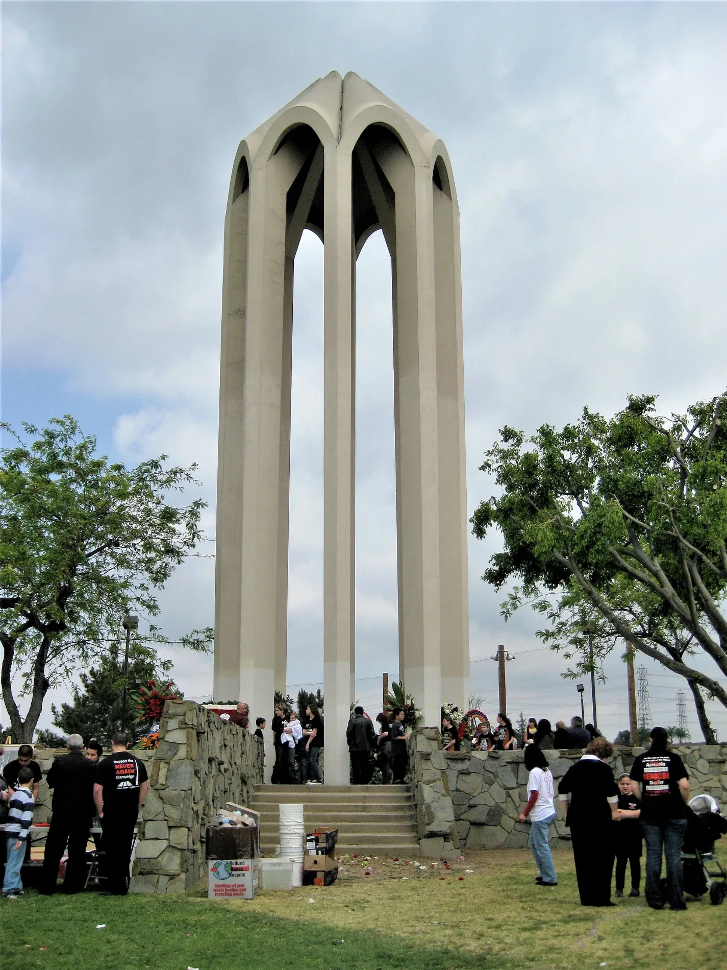
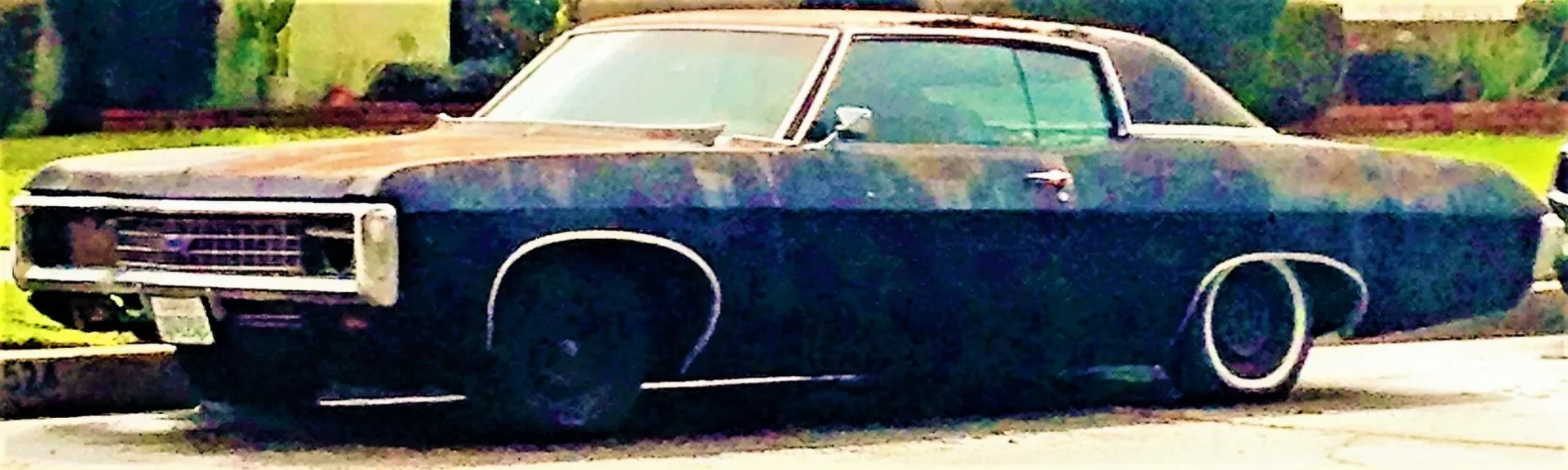
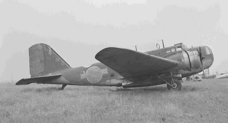
Streets in Montebello, California
Streets
Pomona Freeway
West Whittier Boulevard
Domino's, 701 Restaurant & Bar, Taqueria Don Lencho #1, Miss Donut, Arry's, Autocraft Body & Paint, Murphy's Cleaners, Wingstop, First Assembly of God Church of Montebello
Garfield AvenueMontebello, Ground Up Coffee, Poly-Tech Dental Studio
East Washington BoulevardChevron, Montebello, Jack in the Box, Pemex
West Beverly BoulevardChevron, Beverly Boulevard Four Square Gospel Church, 99 Cents Only Stores, Montebello Care Center, Cross and Crown Lutheran Church, Popeyes, McDonald's, Burger King, Jack in the Box
Washington Boulevard
Via CampoMetro 68, Paradise Buffet, EastWest Unibank
Telegraph Road
Whittier Boulevard
Slauson Avenue
North Montebello BoulevardMetro 68; Foothill Transit 269, Taco Bell, Yoshinoya, Carl's Jr.
Montebello BoulevardRite Aid, Chipotle
Paramount BoulevardMetro 68
West Olympic BoulevardTom's Burgers
East Beverly Boulevard
South Gerhart Avenue
South Montebello Boulevard
Hill Drive
San Gabriel Boulevard
Via Campo Street
Beverly Boulevard
South Greenwood AvenueSakura Sushi & Roll, Tomato Korean Restaurant, Greenwood Elementary School, Chet Holifield Branch County of Los Angeles Public Library
Town Center DriveMetro 68; Foothill Transit 269, Metro 68
South Maple AvenueArco
North Wilcox AvenueJamba, 7 Leaves Cafe
Bluff RoadSaint Vincents Seminary
Madison AvenueWashington Elementary School
Hay Street
Monarch Street
East Lincoln Avenue
North Maple Avenue
North Lincoln Avenue
Plaza Drive
Wilcox Avenue
Jefferson Boulevard
North Vail Avenue
Merle Drive
Howard Avenue
Arroyo Drive
Avenida de la Merced
Southside Drive
Lincoln Avenue
Westmoreland Drive
Concourse Avenue
North Greenwood Avenue
Ferguson Drive
Potrero Grande Drive
Flotilla Street
Northside Drive
Greenwood Avenue
Sycamore Drive
Montebello Way
Findlay Avenue
Cleveland AvenueMontebello Post Office, Saint Benedict School, Saint Benedict Roman Catholic Church
West Victoria AvenueMontebello Police Building, Dollar Tree
Store StreetMontebello/Commerce
North 18th StreetSaint Johns Lutheran Church, Saint Johns Lutheran School
Los Angeles AvenueFirst Church of Christ Scientist, Iglesia Methodista Libre
Work StreetMontebello/Commerce
South 4th StreetChurch of Christ, First Church of the Nazarene
South 6th StreetFirst Friends Church
South 7th StreetFirst Baptist Church of Montebello
North Taylor AvenueUnited Methodist Church of Montebello
South Park AvenuePark Avenue Christian Church
South 5th StreetMarin Cafe
South 10th StreetPlymouth Congregational Church
2nd StreetFremont Elementary School
West Los Angeles AvenueSuperior Grocers
East Victoria AvenueMontebello Church of Christ
North Poplar AvenueKingdom Hall of Jehovahs Witnesses
Atascadera Place
Gage Road
Ladywood Place
Baldwin Place
Rio Blanco Street
West Via Corona
Raywood Place
Fran Place
Date Street
Mariposa Way Public transit map Montebello Legend
| Railway | |
| Bus | |
| Streetcar |
 Bicycle map Montebello Legend
| Bike path | |
| Bike lane on roadway | |
| Cycling allowed on bus lane | |
| Bicycle street | |
| Open to cyclists | |
| Open to cyclists, good path | |
| Cycling prohibited | |
| Cobblestone |
| Long-distance bike route | (depending on scale) | |
| Long-distance bike route |
 Pedestrian map Montebello Legend
| Path |
| Long-distance hiking trail | (depending on scale) | |
| Long-distance hiking trail | ||
| Pedestrians prohibited |