
Santa Fe Springs, California
Santa Fe Springs is located in Los Angeles County. About 19,219 people live here (as of 2020). Between 2010 and 2020, the population grew from 16,223 to 19,219. The region is at 41 meters above sea level. The area covers about 23.1 square kilometers. There are about 1.510 streets in Santa Fe Springs. The region was founded in 1957. The ZIP codes are 90670–90671. The dialing code is 562. Santa Fe Springs is city in Los Angeles County, California, United States. Among other things, Santa Fe Springs has public Transport, cafés, supermarkets, clothing Stores, schools and banks. More information at www.california.com/city/santa-fe-springs.
Santa Fe Springs – Facts
| Population | 19219 |
|---|---|
| Area | 23.1 km² |
| Year built | 1957 |
| Elevation | 41 m |
| Located in | Los Angeles County |
| Postal code | 90670 |
| Country | United States |
| Official name | Santa Fe Springs |
| Website | https://www.california.com/city/santa-fe-springs |
Data source: Wikidata (CC0)
Photos from Santa Fe Springs
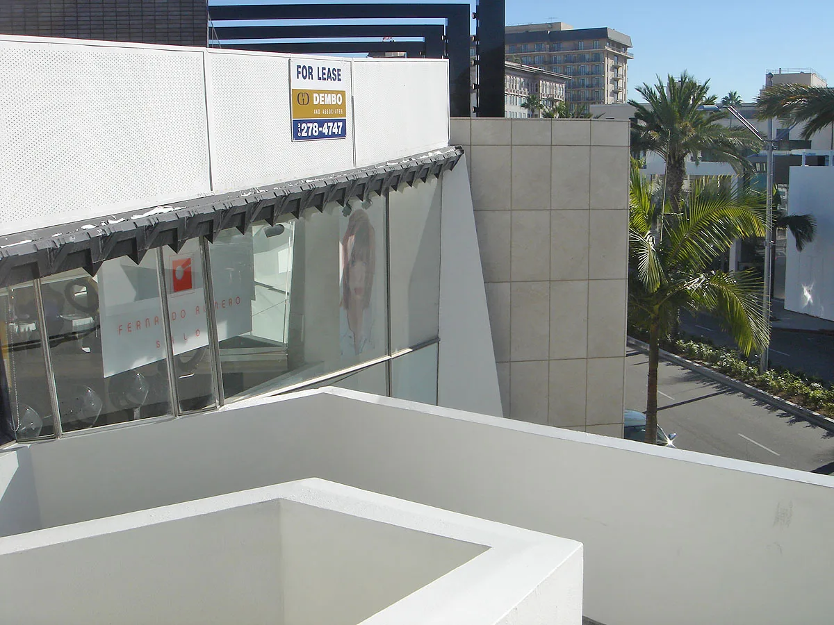
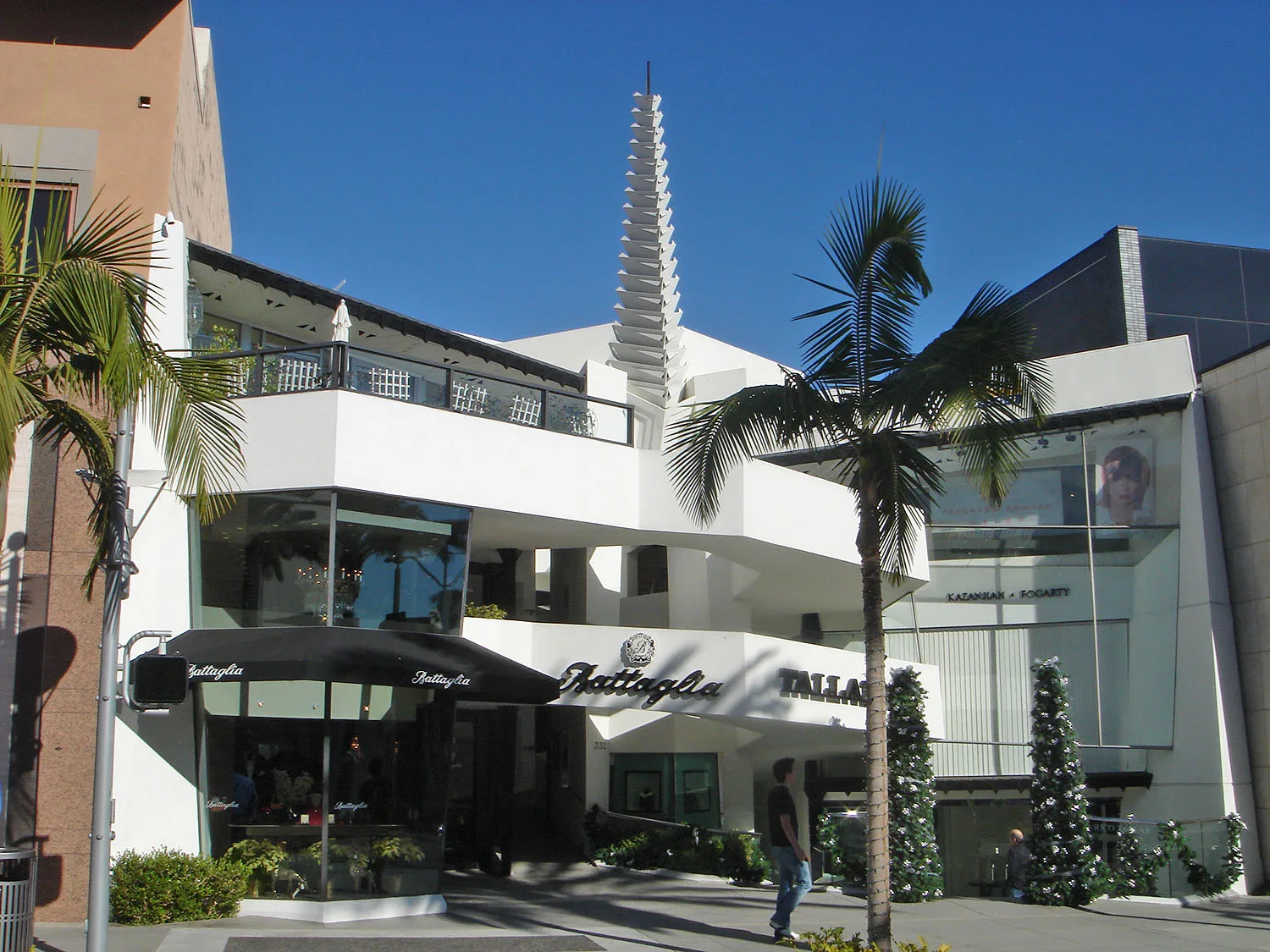
Streets in Santa Fe Springs, California
Streets
Telegraph Road
Carl's Jr., KFC, Wells Fargo, Chick-fil-A, La Vid Verdadera, Panda Express, Five Below, Wingstop
Carmenita RoadFortitude, Maiastra Fountain, Chipotle, Five Guys, Jamba
Orr and Day RoadBethel Community Church, Jack in the Box, First Baptist Church
Alondra BoulevardStarbucks, Subway
Norwalk BoulevardRio Hondo Junior College
Washington BoulevardStarbucks
East Promenade Drive99 Cents Only Stores
Iseli RoadAdvance Auto Body
Alburtis AvenueCircus Sandwich
Boer AvenuePoor Denny's
Florence AvenueFlorence Avenue Foursquare Church
Valley View Avenue7-Eleven
Leffingwell RoadSpring Star
Painter AvenueCruel N Revolve
Sandoval StreetA City Evolves
Mora DriveFounders Plaza
Rivera RoadC & J Industries - Custom Steel Fabrication
Firestone BoulevardEnterprise
Pioneer BoulevardPioneer Blvd.
Summer Avenue
Orden Drive
Aspen Circle
Morrill Avenue
Raintree Drive
Gard Avenue
Gridley Road
Idalene Street
La Docena Lane
Roseton Avenue
Dunning StreetFulton Wells
Lockport Place
Garetal Street
Borate Street
Olive Lane
Charlesworth Road
Lakeland Road
Poinsettia Lane
Brisbane Terrace
Mondon Avenue
Broaded Street
Will Call (McMaster-Carr)
Pontlavey Avenue
Chetle Avenue
Bluejay Lane
Orr and Day West Frontage Road
Sunshine Avenue
Juniper Terrace
Cedar Drive
Lake Center Park Lane
Mica Street
Milroy Place
Marquardt Avenue
Heritage Springs Drive West
Cambridge Street
Villages Drive
Orchid Way
Bell Ranch Drive
Pacific Street
Excelsior Drive
Ontiveros Place
Buell Street
Myrtle Lane
Trumball Street
Azaleas DriveRailway
Clinics
Convenience stores
Drains
Fitness centers
Railways
Restaurants
Supermarkets
Warehouses
 Public transit map Santa Fe Springs Legend
| Railway | |
| Bus | |
| Streetcar |
 Bicycle map Santa Fe Springs Legend
| Bike path | |
| Bike lane on roadway | |
| Cycling allowed on bus lane | |
| Bicycle street | |
| Open to cyclists | |
| Open to cyclists, good path | |
| Cycling prohibited | |
| Cobblestone |
| Long-distance bike route | (depending on scale) | |
| Long-distance bike route |
 Pedestrian map Santa Fe Springs Legend
| Path |
| Long-distance hiking trail | (depending on scale) | |
| Long-distance hiking trail | ||
| Pedestrians prohibited |