
Summit Meadow in Mariposa County, California
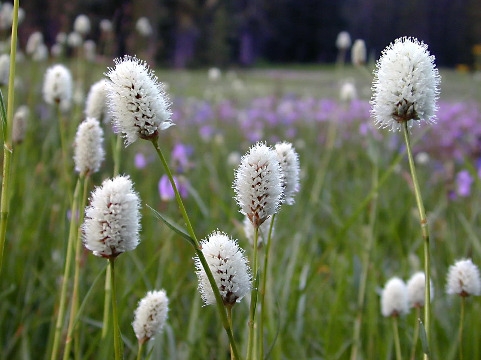
Summit Meadow in Mariposa County is a meadow (Elevation 2229 m). Summit Meadow also exists in Tulare County, Madera County and Fresno County.
- Land Use
- meadow
Image
Attractions
Bus stops
Hotels
Viewpoints
Tourist information centers
Picnic areas
Streets nearby
#18 Dewey Point Meadow0.2 mi
#14 Dewey Point Ridge TrailDewey Point Ridge Trailhead
0.8 mi
Old Glacier Point RoadWestfall Meadow Trailhead
0.8 mi
Chinquapin Trail1.0 mi
#18 Dewey Point Meadow TrailDewey Point Meadow Trailhead
1.4 mi
Loop A Road1.9 mi
Bridalveil Creek Campground Access1.9 mi
Loop B Road1.9 mi
McGurk Meadow TrailMcGurk Meadow Trailhead
1.9 mi
Loop C Road2.0 mi
Glacier Point RoadSummit Meadow, Washburn Point, The Clark Range, Sentinel Dome Trailhead
2.5 mi
Wawona RoadAlder Creek-Mosquito Creek Trailhead, Tunnel View, Yosemite Valley Geology, Rewards of Travel, A Varied View, A View Through Time, Chevron, Wawona Store, Yosemite National Park, CA - Wawona (YOH), Stud Horse Trailhead
2.7 mi
Deer Camp RoadDeer Camp Trailhead, Deer Camp
2.9 mi
Southside DriveBridalveil Moraine, Four Mile Trail Trailhead, Four Mile Trailhead, Swinging Bridge Picnic Area, Cathedral Beach Picnic Area, Housekeeping Camp Store
2.9 mi
Ostrander Lake TrailOstrander Lake Trailhead
2.9 mi
Old Wawona RoadInspiration Point, Artist Point
3.0 mi
The Gunsight3.1 mi
Bridalveil Fall TrailBridalveil Fall Viewpoint, Bridalveil Falls Trailhead
3.1 mi
Northside DriveValley View, Horsetail Fall viewing position, Yosemite Lodge, Lower Yosemite Fall View, El Cap Shuttle Stop #E2, Lower Yosemite Fall #6, Yosemite Village Parking
3.3 mi
East Buttress Approach3.4 mi
Henness Ridge Drive3.4 mi
Wawona Tunnel3.6 mi
Valley Loop TrailRockslides Trailhead, Selling the sublime, Visitors at Mirror Lake, Happy Isles Trailhead, Medial Moraine, Gates of the Valley: El Capitan, Gates of the Valley: Glaciers at the Gate, Carabiner Post, Happy Isles
3.6 mi
Rockslides Trail3.7 mi
El Capitan DriveEl Capitan Meadow
3.7 mi
Buildings nearby
Badger Pass Ski Area Cross Country Ski Equipment0.8 mi
Badger Pass Ski Area Equiptment Rental0.9 mi
Badger Pass Ski Lodge0.9 mi
Cabins nearby
McGurk Cabin1.7 mi
Campgrounds nearby
Bridalveil Creek Campground2.1 mi
Grasslands nearby
Peregoy Meadow1.9 mi
Meadows nearby
Empire Meadows3.9 mi
Public restrooms nearby
Bridalveil Creek Campground Loop A Restroom1.9 mi
Bridalveil Creek Campground Loop B/C Restroom2.0 mi
Bridalveil Creek Campground Loop C Restroom2.0 mi
Rivers nearby
Merced River3.7 mi
Streams nearby
Avalanche Creek2.5 mi
Meadow Brook2.6 mi
Grouse Creek2.7 mi
Indian Creek2.9 mi
Bishop Creek3.0 mi
Strawberry Creek3.1 mi
Artist Creek3.1 mi
Bridalveil Creek3.2 mi
Rail Creek3.2 mi
Fireplace Creek3.6 mi
Ribbon Creek3.6 mi
Elevenmile Creek3.8 mi
Winter sports areas nearby
Badger Pass Ski Area0.9 mi
| Protected area | Yosemite National Park |
|---|---|
| Located in | Mariposa County |
| Country | United States |
| Native name | Summit Meadow |
 Public transit map Mariposa County Legend
| Railway | |
| Bus | |
| Streetcar |
 Bicycle map Mariposa County Legend
| Bike path | |
| Bike lane on roadway | |
| Cycling allowed on bus lane | |
| Bicycle street | |
| Open to cyclists | |
| Open to cyclists, good path | |
| Cycling prohibited | |
| Cobblestone |
| Long-distance bike route | (depending on scale) | |
| Long-distance bike route |
 Pedestrian map Mariposa County Legend
| Path |
| Long-distance hiking trail | (depending on scale) | |
| Long-distance hiking trail | ||
| Pedestrians prohibited |