
East Longbranch Drive in Anaheim, California
East Longbranch Drive in Anaheim is a residential street (private). It runs in a northeast-southwest direction starting from Valley Forge Drive and crosses East Horsehoe Lane. It ends in a cul-de-sac.
- Road Type
- residential street
- Route
- northeast-southwest
Image
Platforms
Stations
Auto repair shops
Bus stops
Security equipment stores
Cafes
Banks
Schools
Gas stations
Streets nearby
East Horsehoe Lane50 ft
Valley Forge Drive150 ft
Flintlock Way300 ft
Crockett Drive400 ft
Bunker Hill Place450 ft
Merrimac Drive450 ft
Kennebec Drive0.1 mi
Rogue Drive0.1 mi
North Conestoga Way0.1 mi
Ironpike Circle0.1 mi
Summer Creek Lane0.1 mi
Santa Ana Canyon RoadIslands Restaurant Anaheim Hills, Santa Ana Canyon-Weir Canyon, The UPS Store, Hibachi Steak House, Influence Church, AT&T, Tillys, Chipotle, Jamba, Starbucks, Hummus Bean, Fantastic Sams, Panera Bread
0.2 mi
East Fauna Avenue0.2 mi
Powderhorn Drive0.2 mi
Riverdale Avenue0.2 mi
East Addington Circle0.2 mi
East Santa Ana Canyon RoadAmerican Inn & Suites
0.2 mi
Tustin AvenueTustin-Sunview, Tustin-Bixby
0.2 mi
North Alderdale Circle0.2 mi
Roxanne Street0.3 mi
Nohl Canyon Road0.3 mi
North Kodiak Street0.3 mi
Finch Street0.3 mi
North Santa Lucia Street0.3 mi
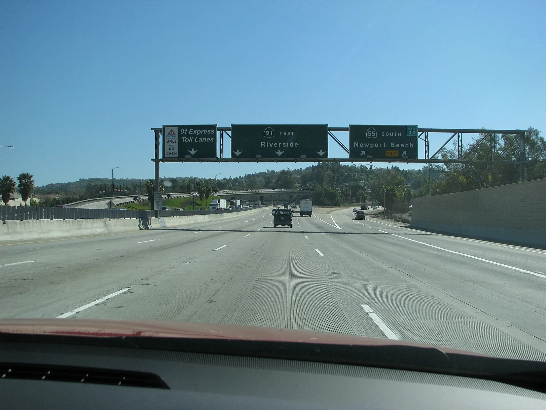
91 Express Lanes0.3 mi
Riverdale Ave North Frontage Road0.3 mi
East Circle Haven Road0.3 mi
Santa Ana River Trail0.3 mi
East Bainbridge Avenue0.3 mi
North Hillview Drive0.3 mi
Sagamore Street0.3 mi
East Baldwin Avenue0.3 mi
East Maple Tree Drive0.3 mi
Costa Mesa Freeway0.3 mi
Bolinger Circle0.4 mi
North Santa Cecilia Street0.4 mi
East Sunview Drive0.4 mi
North Santa Barbara Place0.4 mi
East Bolingridge Drive0.4 mi
Baldwin Avenue0.4 mi
East Hilltop Drive0.4 mi
North Santa Anita Street0.4 mi
East San Alano Place0.4 mi
North Tustin AvenueTustin-Santa Ana Canyon, Tustin-Valley Forge, Tustin-Miraloma, Tustin-Riverdale, Rose-Del Cerro, Simon Greenleaf University, Tustin-La Palma, Tustin-Enterprise, Tustin-Jefferson
0.4 mi
Riverside Freeway0.4 mi
East San Alto Place0.4 mi
East San Carlos Place0.4 mi
San Bruno Avenue0.5 mi
Convenience stores nearby
Circle K0.3 mi
Public transit map Anaheim Legend
| Railway | |
| Bus | |
| Streetcar |
Bicycle map Anaheim Legend
| Bike path | |
| Bike lane on roadway | |
| Cycling allowed on bus lane | |
| Bicycle street | |
| Open to cyclists | |
| Open to cyclists, good path | |
| Cycling prohibited | |
| Cobblestone |
| Long-distance bike route | (depending on scale) | |
| Long-distance bike route |
Pedestrian map Anaheim Legend
| Path |
| Long-distance hiking trail | (depending on scale) | |
| Long-distance hiking trail | ||
| Pedestrians prohibited |