
North State College Boulevard in Anaheim, California
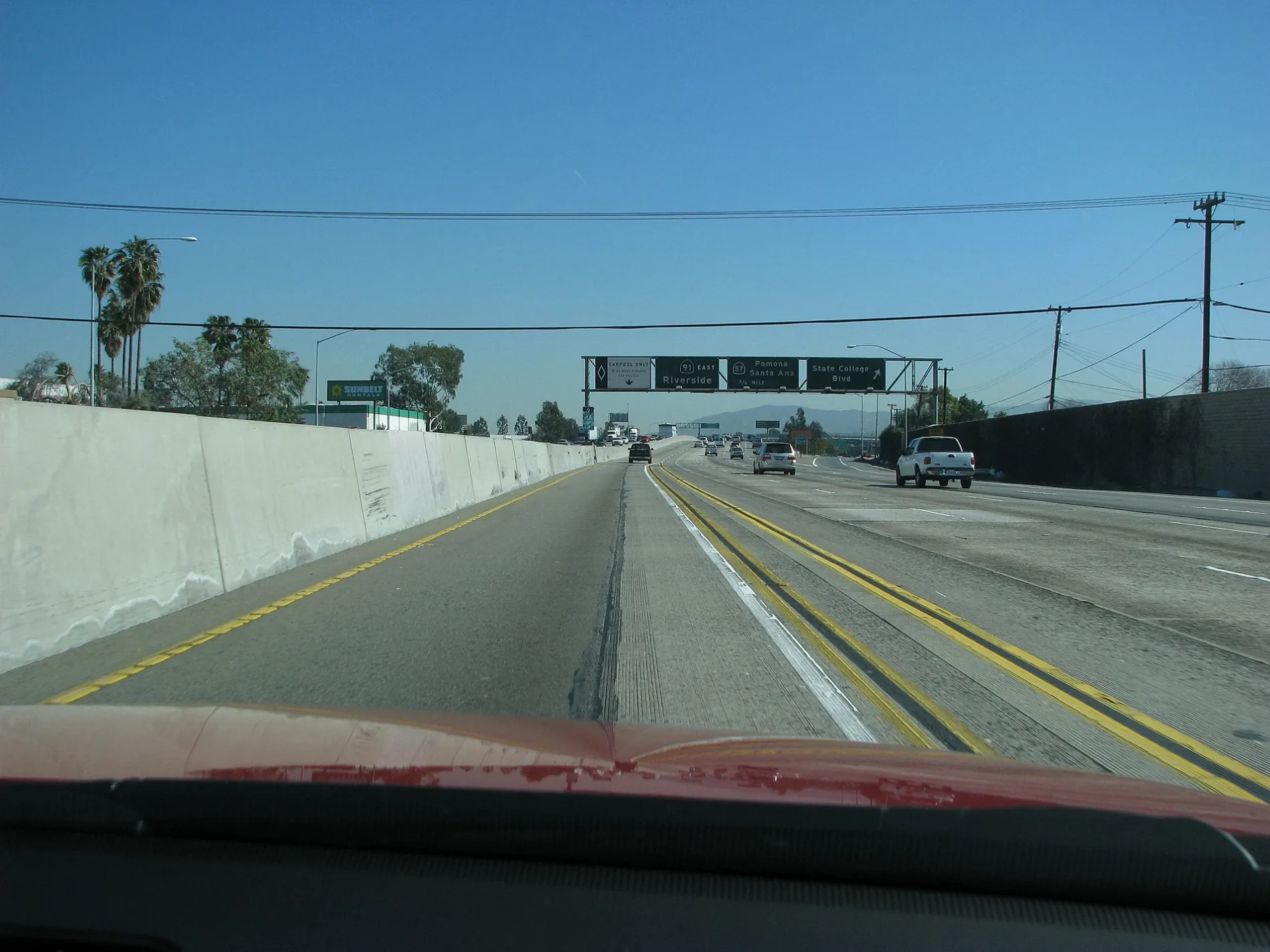
North State College Boulevard in Anaheim is a five-lane, asphalted main road. It runs in a north-south direction and crosses East Romneya Drive, South Placentia Avenue, East Balsam Avenue, East La Palma Avenue, East Sycamore Street, East Underhill Avenue, South State College Boulevard, East Via Burton Street, Via Burton Street, East Redwood Avenue, East Center Street and East Lincoln Avenue. Nearby you can find among others a fast food restaurant, a place of worship, a game store and a convenience store. The nearest stops include State College-Underhill, State College-Lincoln, State College-La Palma, State College-Romneya and State College-Redwood. The bus line 57 stops here. North State College Boulevard also exists in Brea and Fullerton.
- Road Type
- main road
- Lanes
- 5
- Speed Limit
- 40 mph
- Route
- north-south
Image
Convenience stores
Bus stops
- bus lines 57
Streets nearby
North Ash Place0.1 mi
North Daly Street0.1 mi
East Rosewood Avenue0.2 mi
North Rosewood Place0.2 mi
North Burton Place0.2 mi
East Via Burton StreetVia Burton-Daly
0.2 mi
North Vista Place0.2 mi
Riverside Freeway0.2 mi
South Placentia Avenue0.2 mi
North Curtis Court0.3 mi
North Basque Circle0.3 mi
Via Burton Street0.3 mi
East Banyan Drive0.3 mi
North Cozy Terrace0.3 mi
Seaview Circle0.3 mi
East Briarvale Avenue0.3 mi
Driftwood Circle0.3 mi
Reef Circle0.3 mi
Eastwind Drive0.3 mi
East Banyan Lane0.3 mi
North Adair Place0.3 mi
West la Jolla Street0.3 mi
Westwind Circle0.3 mi
Moisi Lane0.3 mi
North Basque Place0.3 mi
East Banyan Place0.4 mi
North Whittier Street0.4 mi
North Paradise Court0.4 mi
Buccaneer Drive0.4 mi
Anchorage Circle0.4 mi
Easton Street0.4 mi
North Cozy Place0.4 mi
East Romneya Drive0.4 mi
East Terrace Street0.4 mi
North Paradise Street0.4 mi
East Balsam Avenue0.4 mi
Wallgreen Street0.4 mi
East Park Lane0.4 mi
South State College BoulevardState College-Commonwealth, State College-Cypress, State College-Kimberly, State College-Valencia, State College-Fender
0.5 mi
East Orangethorpe AvenueOrangethorpe-Ent 2150 Vista Paint, Orangethorpe-Ent 2100 Colt, Orangethorpe-Manhattan, Metro by T-Mobile, Lee's Sandwiches, Orangethorpe-Lemon, Sunright Tea Studio, Orangethorpe-Harbor, Panda Express, Dave's Hot Chicken, Orangethorpe-Raymond, Tesla, Chipotle, Jersey Mike's Subs, Verizon, Orangethorpe-State College, Orangethorpe-Acacia, Orangethorpe-Placentia
0.5 mi
Lawrence Street0.5 mi
Cypress Way0.5 mi
Burt Place0.5 mi
Robin AvenueOrangethorpe-Placentia
0.6 mi
West Orangethorpe AvenueOrangethorpe-Iowa, Orangethorpe-Ohio, Orangethorpe-Melrose
0.6 mi
Construction sites nearby
7-Eleven Gas Station0.6 mi
Drains nearby
Carbon Creek Channel0.3 mi
Residential areas nearby
Anaheim Royal Mobile Home Park0.2 mi
Retail areas nearby
Sycamore Plaza0.2 mi
Public transit map Anaheim Legend
| Railway | |
| Bus | |
| Streetcar |
Bicycle map Anaheim Legend
| Bike path | |
| Bike lane on roadway | |
| Cycling allowed on bus lane | |
| Bicycle street | |
| Open to cyclists | |
| Open to cyclists, good path | |
| Cycling prohibited | |
| Cobblestone |
| Long-distance bike route | (depending on scale) | |
| Long-distance bike route |
Pedestrian map Anaheim Legend
| Path |
| Long-distance hiking trail | (depending on scale) | |
| Long-distance hiking trail | ||
| Pedestrians prohibited |