
East Warner Avenue in Tustin, California
East Warner Avenue in Tustin is a three-lane, asphalted main road. The street has bike paths (bike lane) in some sections. It runs in a southeast-northwest direction and crosses Red Hill Avenue, Armstrong Avenue, Veterans Way, Compass Avenue, Legacy Road and Tustin Ranch Road. The nearest stops are Warner-Red Hill, Warner-Tustin Ranch, Warner-Legacy, Warner-Pullman and Warner-Armstrong. The bus lines 59 and 72 serve this stop.
- Road Type
- main road
- Lanes
- 3
- Route
- southeast-northwest
Image
Bus stops
- bus lines 59, 72
Streets nearby
Swaim Way0.2 mi
Legacy RoadChargePoint
0.3 mi
Peebler Way0.3 mi
Dawn Way0.3 mi
Moffett Avenue0.3 mi
Summer Sky Place0.3 mi
Park AvenuePrego, Welcome to Orange County, Cube Designs Furniture, Alternative Retail, Casa Del Sol Cucina Mexicana, Starbucks (Target), Curry Pizza House
0.3 mi
Stella Circle0.3 mi
Tustin Ranch RoadStars Threading, Tustin Ranch-Warner, Tustin Ranch-Park, The UPS Store
0.3 mi
Moonstone Circle0.4 mi
Skylar Place0.4 mi
Compass Avenue0.4 mi
Veterans Way0.4 mi
Airship AvenueTustin - Flight Way Supercharger
0.4 mi
Helber Way0.4 mi
Victory Road0.4 mi
Armstrong Avenue0.4 mi
Flight Way0.5 mi
Innovation Drive0.6 mi
Severyns Road0.6 mi
Carrington Way0.6 mi
College Drive0.6 mi
Atep Circle0.6 mi
Valencia AvenuePassport Health Tustin Travel Clinic, sweetgreen, Yogurtland, Dunkin', Jamba, Clean and Cut Cleaners, PostalAnnex
0.7 mi
Banks nearby
Kinecta0.3 mi
Buildings nearby
AT&T0.4 mi
Commercial buildings nearby
Leasing Office0.2 mi
Construction sites nearby
MorningStar Senior Living0.4 mi
Covered areas nearby
Dog Wash0.2 mi
Department stores nearby
Target0.4 mi
Dry cleaners nearby
Legacy Cleaners0.3 mi
Fast food restaurants nearby
Subway0.4 mi
Pressed Juicery0.4 mi
Hair salons nearby
Sport Clips0.3 mi
Hangars nearby
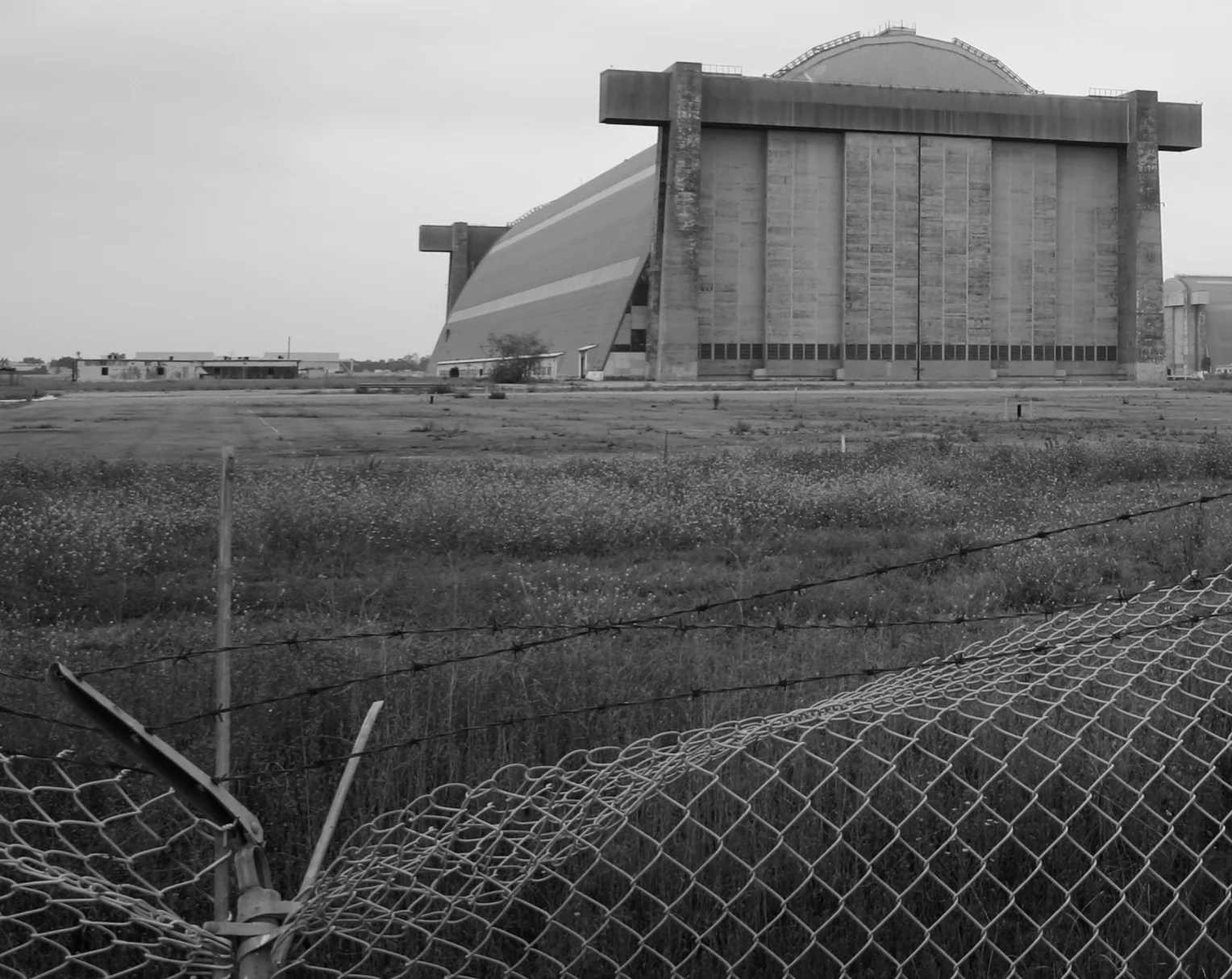
MCAS Tustin Blimp Hangar0.4 mi
Hardware stores nearby
Lowe's0.4 mi
Huts nearby
Clubhouse0.2 mi
Military areas nearby
OC Sheriff Regional Training Academy0.5 mi
United States Army Reserve Center Tustin0.6 mi
Pet stores nearby
PetSmart0.4 mi
Residential areas nearby
Amalfi Apartments0.2 mi
The Landing Community0.3 mi
Restaurants nearby
Aloha Hawaiian BBQ0.3 mi
Retail buildings nearby
The UPS Store0.3 mi
Sports centers nearby
Fitness Center0.2 mi
Veterans Sports Park0.6 mi
Swimming pools nearby
Spa0.2 mi
Pool0.2 mi
Technical colleges nearby
IDEA at ATEP0.7 mi
 Public transit map Tustin Legend
| Railway | |
| Bus | |
| Streetcar |
 Bicycle map Tustin Legend
| Bike path | |
| Bike lane on roadway | |
| Cycling allowed on bus lane | |
| Bicycle street | |
| Open to cyclists | |
| Open to cyclists, good path | |
| Cycling prohibited | |
| Cobblestone |
| Long-distance bike route | (depending on scale) | |
| Long-distance bike route |
 Pedestrian map Tustin Legend
| Path |
| Long-distance hiking trail | (depending on scale) | |
| Long-distance hiking trail | ||
| Pedestrians prohibited |