
Roseville, California
Roseville is located in Placer County. About 147,773 people live here (as of 2020). Between 2010 and 2020, the population grew from 118,788 to 147,773. The region is at 50 meters above sea level. The area covers about 111.3 square kilometers. The region is divided into 3 Subregions. The ZIP codes are 95661–95747. The dialing code is 916. Roseville is city in Placer County, California, United States. More information at www.roseville.ca.us.
Roseville – Facts
| Population | 147773 |
|---|---|
| Area | 111.3 km² |
| Subregions | 3 |
| Elevation | 50 m |
| Located in | Placer County |
| Postal code | 95661 |
| Country | United States |
| Official name | Roseville |
| Website | http://www.roseville.ca.us |
Data source: Wikidata (CC0)
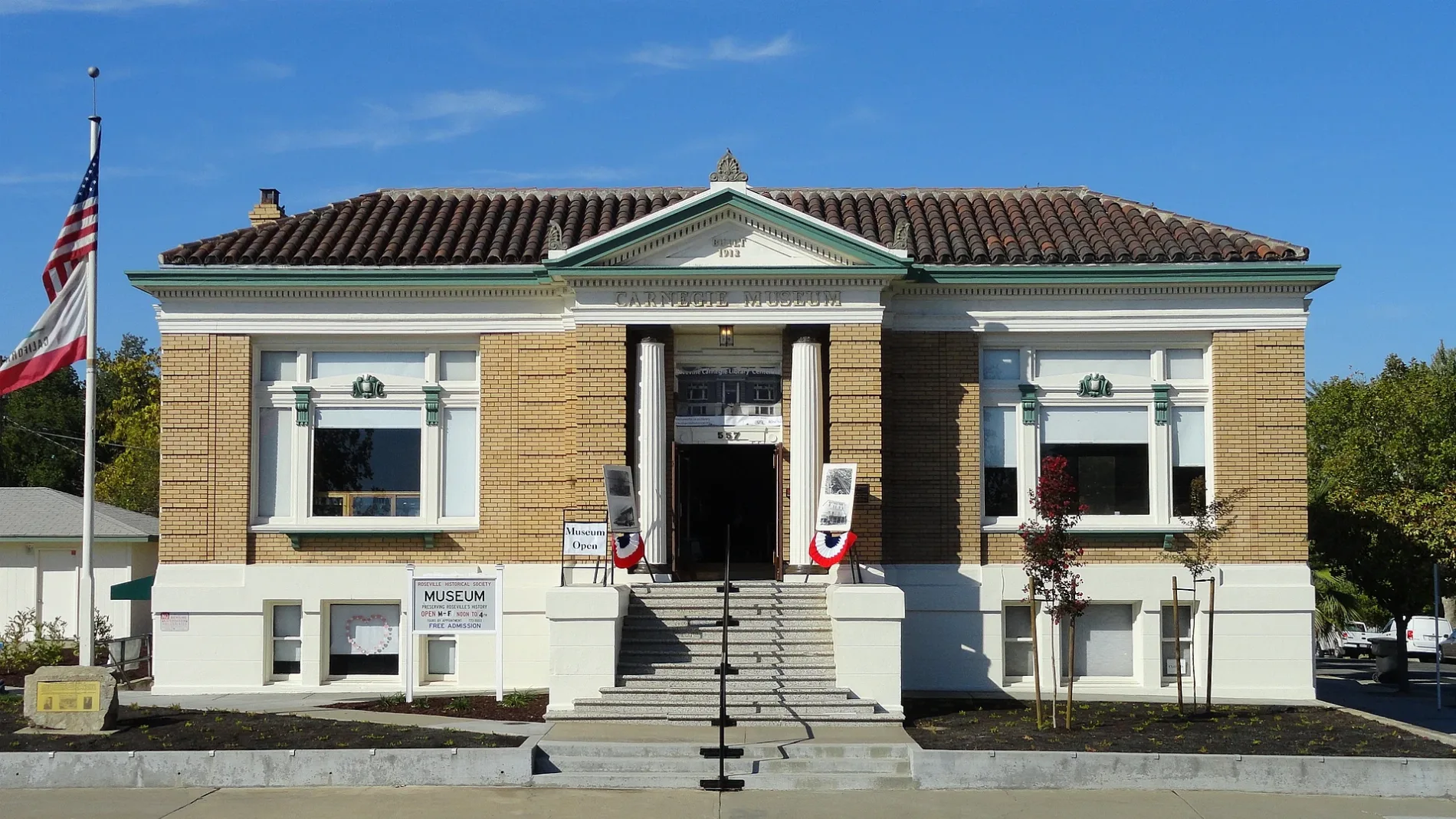
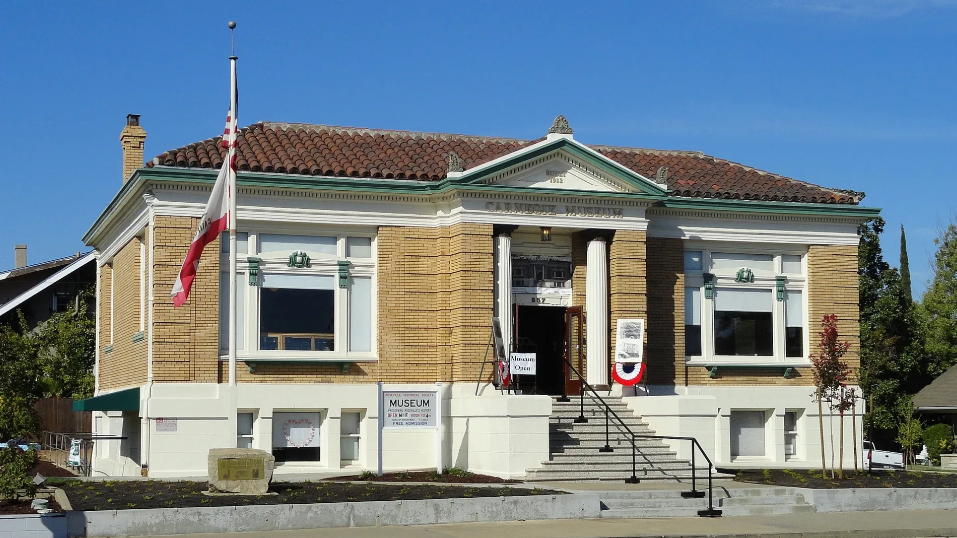
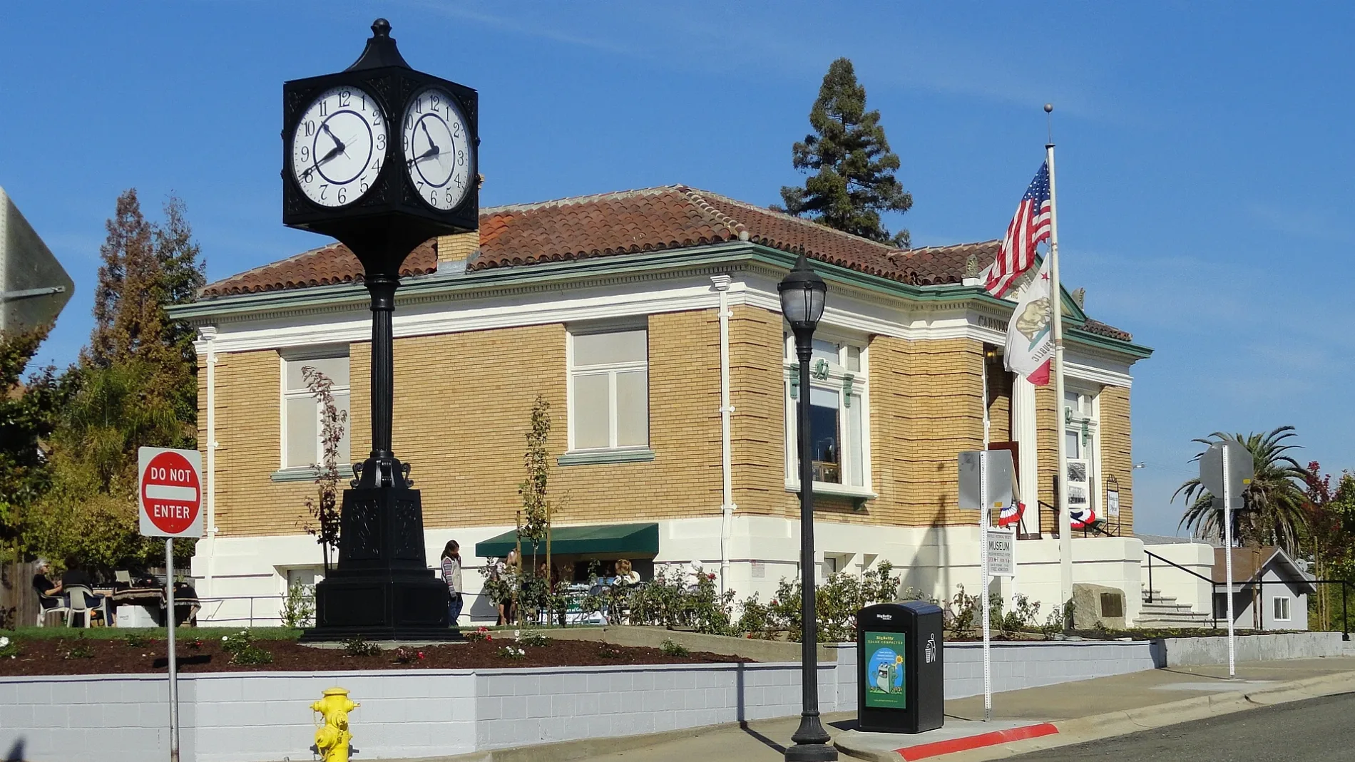
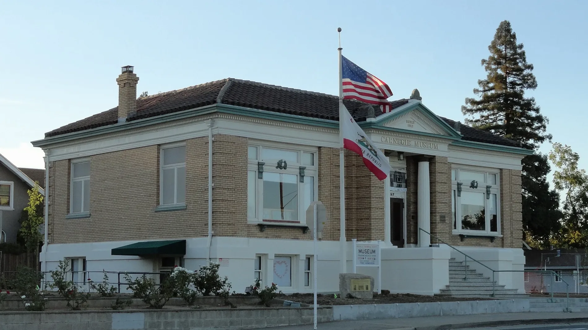
Photos from Roseville
Neighborhoods in Roseville, California
 Public transit map Roseville Legend
| Railway | |
| Bus | |
| Streetcar |
 Bicycle map Roseville Legend
| Bike path | |
| Bike lane on roadway | |
| Cycling allowed on bus lane | |
| Bicycle street | |
| Open to cyclists | |
| Open to cyclists, good path | |
| Cycling prohibited | |
| Cobblestone |
| Long-distance bike route | (depending on scale) | |
| Long-distance bike route |
 Pedestrian map Roseville Legend
| Path |
| Long-distance hiking trail | (depending on scale) | |
| Long-distance hiking trail | ||
| Pedestrians prohibited |