
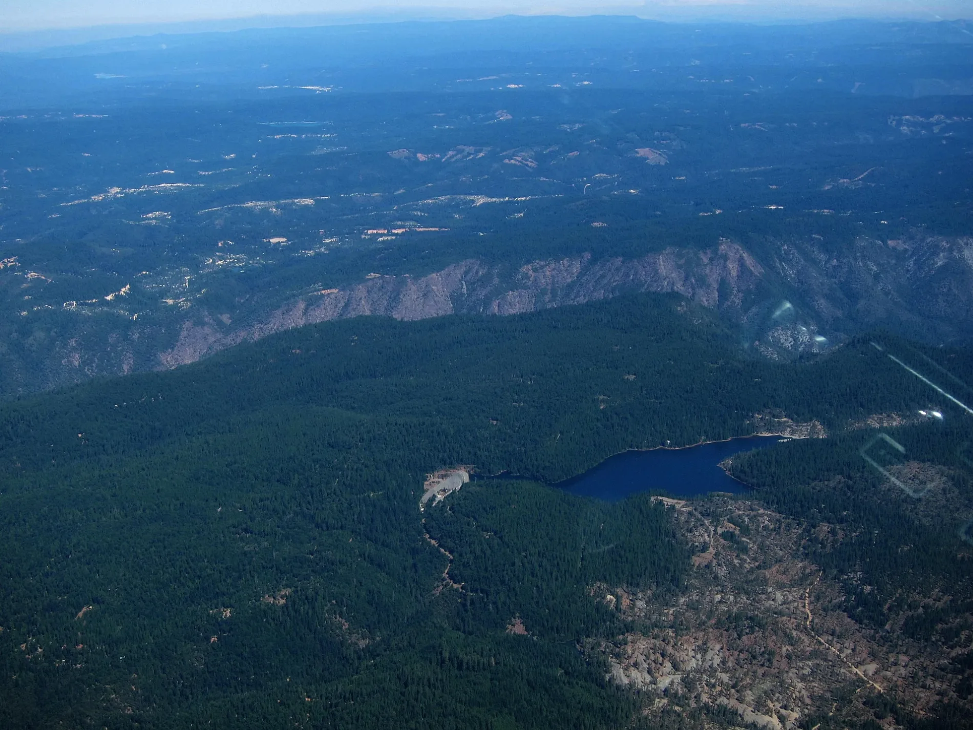
Sugar Pine Reservoir in Foresthill, CA 95631
Sugar Pine Reservoir in Foresthill, CA 95631 (Placer County) is a water. Ⓦ.
- Nature
- water
Image
Streets nearby
Joshua M. Hardt Memorial TrailShirttail Creek - 007, GIANT GAP - 030, GIANT GAP - 024, GIANT GAP - 022, GIANT GAP - 021, GIANT GAP - 020, GIANT GAP - 019, GIANT GAP - 018, GIANT GAP - 010
0.1 mi
Giant Gap Road0.6 mi
Iowa Hill RoadIowa Hill Volunteer Fire Department, Iowa Hill, Iowa Hill School, Iowa Hill Community Church
1.2 mi
Forest Route 241.5 mi
Green Valley TrailGreen Valley Trailhead
1.7 mi
Big Reservoir Road1.8 mi
Road To Morning Star Campgr1.8 mi
Brimstone Road2.1 mi
Sugar Pine RoadTimberland
2.2 mi
Hollow Log Road2.4 mi
Finning Mill Road2.4 mi
Succor Lane2.6 mi
Hammer Lane2.7 mi
Bird Flat Road3.1 mi
Lovers Leap Road3.2 mi
Moody Ridge Road3.3 mi
Big Dipper Road3.4 mi
Copper Bottom Road3.4 mi
Euchre Bar Trail (11E25.1)3.5 mi
Euchre Bar Trail (11E25.2)3.5 mi
Green Valley Road3.5 mi
Christmas Tree Lane3.6 mi
Tie 3-33.6 mi
Gold Mine Road3.7 mi
Aquilla Lane3.8 mi
Independence Hill Road3.8 mi
Casa Loma RoadEuchre Bar Trailhead
3.8 mi
Copper Knoll Road3.9 mi
Alan S. Hart FreewayForebay, Emigrant Gap, Tesla Supercharger
4.0 mi
Wild Rose Lane4.1 mi
Canyon Mine Road4.2 mi
Monte Vista Lane4.2 mi
Canyon View Court4.2 mi
Frost Hill Place4.2 mi
Tie 3-64.4 mi
Campgrounds nearby
Shirttail Creek0.2 mi
Giant Gap Campground0.5 mi
Camp Norge4.2 mi
Convenience stores nearby
Sierra Express4.1 mi
Dams nearby
Morning Star Reservoir Dam1.5 mi
Nature reserves nearby
Towle Conservation Easement3.4 mi
Railways nearby
UP Roseville Subdivision4.1 mi
Reservoirs nearby
Big Reservoir1.8 mi
Streams nearby
Giant Gap Gulch1.6 mi
Pagge Creek1.6 mi
Montyre Gulch2.0 mi
Indian Creek2.8 mi
North Shirttail Canyon3.8 mi
Weirs nearby
Sugar Pine Dam1.3 mi
| Elevation | 3609 |
|---|---|
| Located in | California |
| Country | United States |
 Public transit map Placer County Legend
| Railway | |
| Bus | |
| Streetcar |
 Bicycle map Placer County Legend
| Bike path | |
| Bike lane on roadway | |
| Cycling allowed on bus lane | |
| Bicycle street | |
| Open to cyclists | |
| Open to cyclists, good path | |
| Cycling prohibited | |
| Cobblestone |
| Long-distance bike route | (depending on scale) | |
| Long-distance bike route |
 Pedestrian map Placer County Legend
| Path |
| Long-distance hiking trail | (depending on scale) | |
| Long-distance hiking trail | ||
| Pedestrians prohibited |