
5th Street in Downtown Riverside, California
5th Street in Riverside is an asphalted, lit local road. No bike lane available. It runs in a southeast-northwest direction starting from Mount Rubidoux Drive and crosses Redwood Drive, Pine Street, Cedar Street, Locust Street, Brockton Avenue, Chestnut Street, Fairmount Boulevard, Market Street, Main Street, Orange Street and Lemon Street. Nearby there is a restaurant.
- Road Type
- residential street
- Route
- southeast-northwest
Image
Restaurants
Streets nearby
4th StreetCVS Pharmacy
450 ft
Mission Inn AvenueMission Inn Museum, The Coffee Bean & Tea Leaf, Angela's Wings, Molinos Coffee, The Hideaway Cafe & Lounge, The Stadler Building, First Congregational Church, Meet Me at The Cheech, Tio's Tacos
0.2 mi
Orange StreetRiverside Citrus Labels, 12th & Orange, Sundial Clock, W at Worthington's, Downtown Experiment, Old City Hall, Albertaco's
0.2 mi
6th StreetMission Inn Restaurant, Las Campanas Mexican Cuisine & Tequila Bar, The Stadler Building, MiCultura, ProAbition, Monty's Good Burger, Soho Ramen, AAMCO
0.2 mi
Main StreetGram's BBQ Restaurant & Catering, Cafe Oro Dos Aztecas, Riverside, UCR ARTS, Sower's Dream, Seth Thomas Clock, The Lobby Cocktail Lounge & Kitchen, Palenque Kitchen by Mezcal, Bella Trattoria Italian Bistro, Duane's Prime Steaks & Seafood, Lock in Your Love, Chrome Bumpers, Camera Obscura, Arcade Downtown, GRAY AREA, Casey's Cupcakes, Mission Galleria Antique Shoppe, Japanese Stone Lantern, Raincross, AMPM, Arco, Baker's, Let’s Go RV
0.2 mi
2nd StreetSav-A-Minit, Riverside Market
0.2 mi
3rd StreetPower House Church of God
0.3 mi
1st Street0.4 mi
Vine Street0.4 mi
Hewitt Street0.4 mi
Lemon StreetThe Church of Jesus Christ of Latter-day Saints, Riverside County Law Library
0.4 mi
Riverside Freeway0.4 mi
Market StreetAccept Difference, Citrus Swing and Interactive Camera, The Raincross District, Rise!, Spirit of Texas BBQ, Albert S. White Park, Sister Cities, Slay Me Nails, Stray Dogs Coffee, Yoli's Mexican Grill
0.4 mi
Streamwell Street0.4 mi
Brookoak Street0.4 mi
Twogood Lane0.4 mi
Springmount Street0.5 mi
Mulberry Street0.5 mi
Watermount Street0.5 mi
Rivermount Street0.5 mi
Creekpark Street0.5 mi
Malta Place0.5 mi
Hiawatha Place0.5 mi
Lime StreetSaint Francis de Sales Catholic Church, Pizza Hut
0.6 mi
Artworks nearby
Downtown Riverside0.3 mi
Bookstores nearby
Downtowne Bookstore0.2 mi
Buildings nearby
Christian Science Reading Room0.1 mi
Harada House0.1 mi
AT&T0.1 mi
Mission Inn Annex0.2 mi
Raincross Square Building0.2 mi
Cafes nearby
Starbucks0.4 mi
Conference centers nearby
Riverside Convention Center0.2 mi
Construction sites nearby
Aspire Housing Project0.4 mi
Event venues nearby
Riverside Municipal Auditorium0.2 mi
Galleries nearby
Riverside Art Museum0.1 mi
Hotels nearby
The Mission Inn0.2 mi
Mission Inn0.2 mi
Riverside Marriott0.3 mi
Museums nearby
The Cheech Marin Center for Chicano Art & Culture of the Riverside Art Museum0.2 mi
Pavilions nearby
Chinese Pavilion0.2 mi
Places of worship nearby
First Church of Christ, Scientist0.1 mi
Church of the Nazarene Riverside0.1 mi
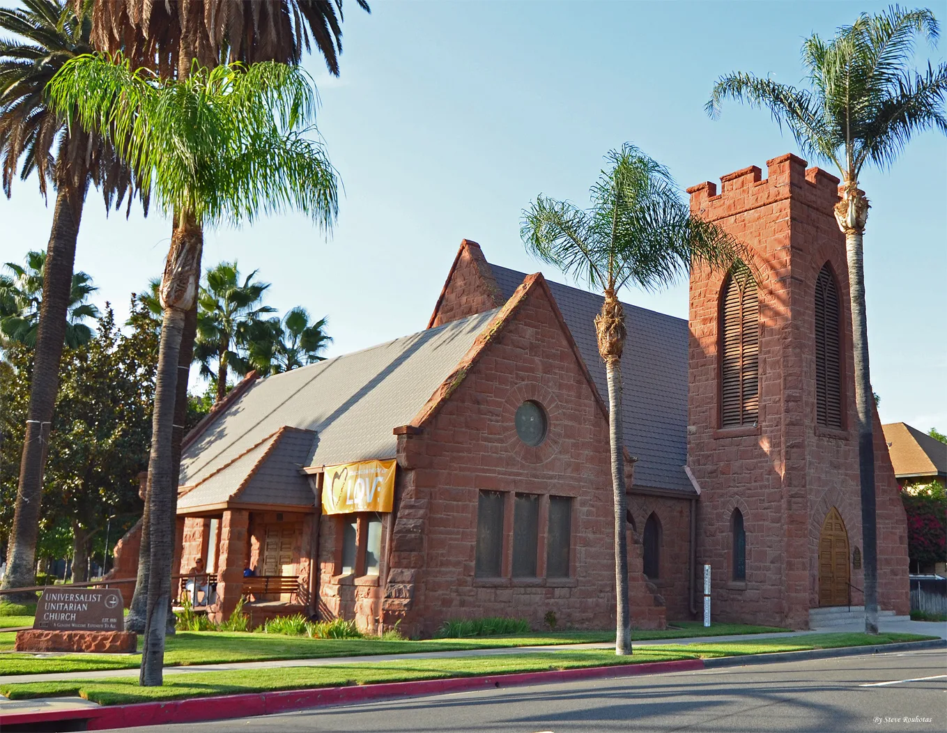
Universalist Unitarian Church of Riverside0.2 mi
Baha'i Center of Riverside0.2 mi
Pubs nearby
Heroes0.1 mi
Railways nearby
BNSF San Bernardino Subdivision0.3 mi
Stationery stores nearby
OfficeMax0.2 mi
Supermarkets nearby
Smart & Final0.2 mi
 Public transit map Downtown Riverside Legend
| Railway | |
| Bus | |
| Streetcar |
 Bicycle map Downtown Riverside Legend
| Bike path | |
| Bike lane on roadway | |
| Cycling allowed on bus lane | |
| Bicycle street | |
| Open to cyclists | |
| Open to cyclists, good path | |
| Cycling prohibited | |
| Cobblestone |
| Long-distance bike route | (depending on scale) | |
| Long-distance bike route |
 Pedestrian map Downtown Riverside Legend
| Path |
| Long-distance hiking trail | (depending on scale) | |
| Long-distance hiking trail | ||
| Pedestrians prohibited |