
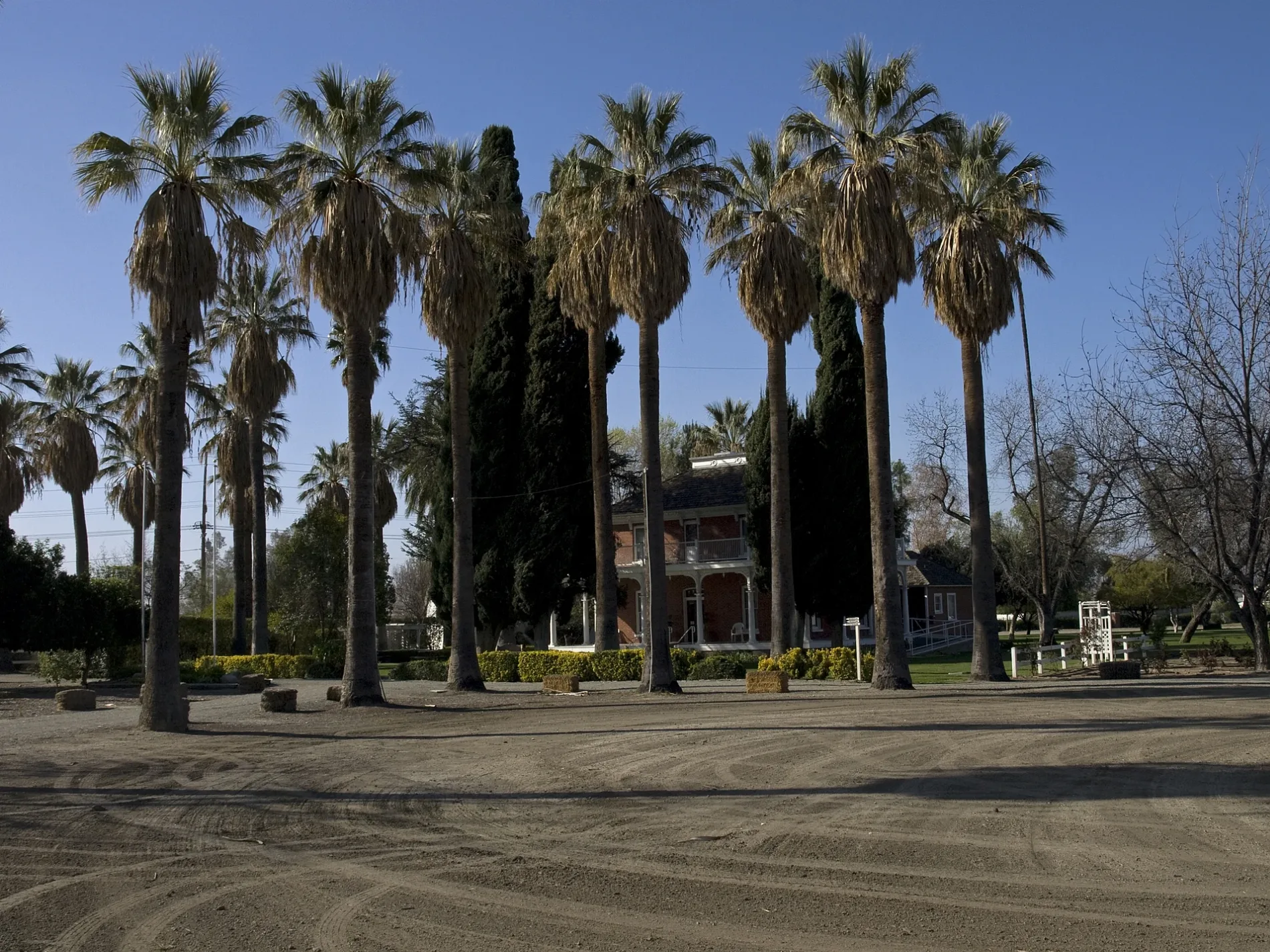
De Anza Drive in San Jacinto, California
De Anza Drive in San Jacinto is a two-lane, asphalted local road. It runs in a southeast-northwest direction starting from West Main Street and crosses Lyon Avenue, Savory Lane, Tuscany Way, Calistoga Way, Laurelhurst Heights, Palm Avenue, Young Street, Porterfield Drive, Reposo Street, Potrero Street and North State Street and ends at West Main Street. De Anza Drive also exists in Contra Costa County, Los Angeles County and Ventura County.
- Road Type
- residential street
- Route
- southeast-northwest
Image
Places of worship
Town halls
Bus stops
Streets nearby
Brown Avenue0.1 mi
Dana Court0.1 mi
West Main Street0.1 mi
Ash Street0.1 mi
South Santa Fe AvenueCentral Church of Christ
0.2 mi
West 5th Street0.2 mi
6th Street0.2 mi
South Dillon Avenue0.2 mi
West 3rd Street0.2 mi
South Victoria Avenue0.2 mi
West Ash Street0.2 mi
South San Marcos Place0.2 mi
South Grand Army AvenueSan Jacinto Elementary School
0.3 mi
South Estudillo Avenue0.3 mi
South Wateka Street0.3 mi
West Cedar Street0.3 mi
North Ramona BoulevardRamona + Tahquitz, Ramona FS State, Ramona FS Tiger, Monte Vista Middle School, Ramona + Tiger, Ramona NS State, Ramona FS Tahquitz
0.3 mi
Angela Way0.3 mi
Virginia Drive0.3 mi
Tahquitz Street0.3 mi
Jonnie Way0.3 mi
Camelia Way0.4 mi
Kellam Avenue0.4 mi
State StreetState NS Seventh, State FS Cottonwood, State FS Seventh, State NS Esplanade, State FS Esplanade
0.4 mi
North Wateka Street0.4 mi
North Brinton Street0.4 mi
North Dillon Avenue0.4 mi
North Victoria Avenue0.4 mi
North Scovell Avenue0.4 mi
Cherry Street0.4 mi
7th StreetWatermill Express, Calvary Chapel San Jacinto Christian School
0.4 mi
West 10th Street0.4 mi
Aspen Avenue0.5 mi
Entrance0.5 mi
Eighth Street0.5 mi
North State StreetState FS Cottonwood, State FS Community College Drive, State NS Ramona, State FS Ramona, 7-Eleven, State NS Idyllwild, State NS Community College Drive, State FS Ramona Expressway, State FS Sagecrest
0.5 mi
North Greco Court0.5 mi
South Grand Avenue0.5 mi
Humane Way0.5 mi
West Kuhns Drive0.5 mi
West 9th Street0.6 mi
Green Street0.6 mi
Buildings nearby
Estudillo Mansion0.3 mi
Disused railways nearby
San Jacinto Branch0.5 mi
Industrial areas nearby
Agri-Empire0.3 mi
Motels nearby
Hacienda Motel0.4 mi
Museums nearby
San Jacinto City Museum0.3 mi
Parks nearby
Estudillo Heritage Park0.2 mi
Restaurants nearby
J&J's Diner0.4 mi
 Public transit map San Jacinto Legend
| Railway | |
| Bus | |
| Streetcar |
 Bicycle map San Jacinto Legend
| Bike path | |
| Bike lane on roadway | |
| Cycling allowed on bus lane | |
| Bicycle street | |
| Open to cyclists | |
| Open to cyclists, good path | |
| Cycling prohibited | |
| Cobblestone |
| Long-distance bike route | (depending on scale) | |
| Long-distance bike route |
 Pedestrian map San Jacinto Legend
| Path |
| Long-distance hiking trail | (depending on scale) | |
| Long-distance hiking trail | ||
| Pedestrians prohibited |