
Image
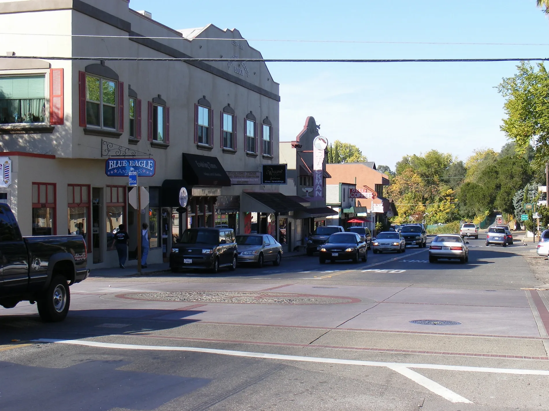
Streets nearby
Casa Court0.1 mi
Tierra Way0.1 mi
Julep Way0.1 mi
Sumter Drive0.1 mi
Andrew Alan Lane0.1 mi
Stonewall Drive0.2 mi
Kreth Road0.2 mi
Widgeon Way0.2 mi
Olivegate Drive0.2 mi
Plantation Drive0.2 mi
Ash Road0.2 mi
Peter Avenue0.2 mi
Solano Way0.2 mi
Bracken Road0.3 mi
Ridgepark Court0.3 mi
Winding WaySenses Massage, Mirabelle Cafe, Buster's Pet Resort & Daycare, Winding Wy + Barrett, Foodmaxx, Winding Wy + Jan, Richards Donuts, Dutch Bros. Coffee, Shangri La, Saint Georges Episcopal Church, Meraki High School, Winding Wy + Sunrise, Arco AM/PM, San Juan Auto Smog, Chevron
0.3 mi
Heather Road0.3 mi
Isabella Ave San Juan Avenue AlleyMaxee Mart Liquor, A Little Bit Used Tack Shop
0.3 mi
Montcurve Boulevard0.3 mi
Isabella Avenue0.3 mi
Eucalyptus Road0.3 mi
Walnut Road0.3 mi
Niblick Way0.3 mi
Isles Court0.3 mi
Milroy Lane0.3 mi
El Jardin Court0.3 mi
Amelia Drive0.3 mi
Star Road0.3 mi
San Nita Way0.4 mi
Willey Way0.4 mi
Camellia Road0.4 mi
Palisade Way0.4 mi
Johnson Drive0.4 mi
Woodglen Drive0.4 mi
Idle Way0.4 mi
Ward Lane0.4 mi
Dea Way0.4 mi
Trona Way0.5 mi
Westover Court0.5 mi
Santee Drive0.5 mi
Millicent Court0.5 mi
Sunset AvenueDad's Kitchen, Freedom Christian Church, Fair Oaks Open Bible Church, Freedom Christian School, Freedom Christian High School, Szechuan Garden, Qwik Trip Mart, 76
0.5 mi
San Juan AvenueChase, Los Gordos Mexican Grill, San Juan + Gail Way, San Juan + Fairway Two, San Juan + Sunset, San Juan + Heather Rd, Faith Lutheran Church, Faith Lutheran Elementary School, Gateway Christian Life Church, Salon’s Within, Round Table Pizza, San Juan + Winding Wy, San Juan + Santa Susana, San Juan + Lincoln, San Juan + Fair Oaks, Auto Pro, San Juan + Madison, 76
0.6 mi
Liquor stores nearby
Sunset Liquor Store0.4 mi
Residential areas nearby
Olive Court Apartments0.5 mi
Retail areas nearby
Northridge Shopping Center0.2 mi
Northridge Plaza0.5 mi
Streams nearby
Carmichael Creek0.3 mi
Supermarkets nearby
Raley's0.5 mi
| Area | 29.1 km² |
|---|---|
| Elevation | 53 m |
| Located in | Sacramento County |
| Postal code | 95628 |
| Country | United States |
| Population | 32514 |
| Official name | Fair Oaks |
 Public transit map Sacramento County Legend
| Railway | |
| Bus | |
| Streetcar |
 Bicycle map Sacramento County Legend
| Bike path | |
| Bike lane on roadway | |
| Cycling allowed on bus lane | |
| Bicycle street | |
| Open to cyclists | |
| Open to cyclists, good path | |
| Cycling prohibited | |
| Cobblestone |
| Long-distance bike route | (depending on scale) | |
| Long-distance bike route |
 Pedestrian map Sacramento County Legend
| Path |
| Long-distance hiking trail | (depending on scale) | |
| Long-distance hiking trail | ||
| Pedestrians prohibited |